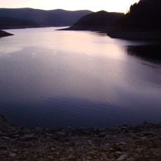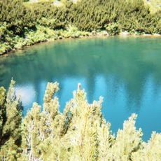
Chest opened
+${chestReward.xp} XP
Explorer
NOUVEAU ×${chestReward.collectible.quantity}
tapez pour fermer

See the monuments around you in AR Open chests in the app

Around Us is built for your phone — point your camera at the streets and discover the monuments and places around you in augmented reality. Around Us is built for your phone — chests unlock when you walk, explore and capture nearby places.

•

Enable Location

We need your location to show you interesting places around you

Discover nearby places

Find interesting locations and hidden gems around you

Precise directions

Get accurate directions and distances to places

Your location is never shared with other users. It's only used when you tap the location button.

Transalpina

Log in to your account

Start exploring — it's free

Trusted by 92,317 travelers worldwide

Continue with Google
Continue with Apple
or

We will send you a code to connect

By continuing, you accept our Terms and Conditions and our Privacy Policy

Check your inbox

We've sent a pincode in your inbox. Please enter the code below.

Transalpina, Mountain road through Parâng Mountains, Romania

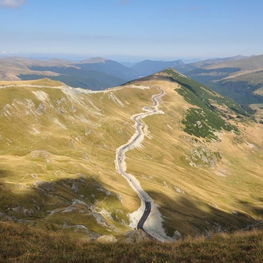
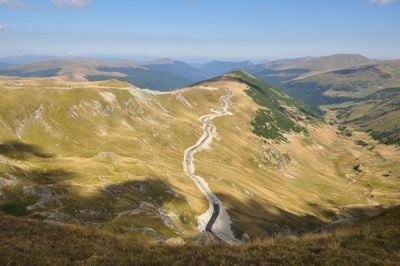
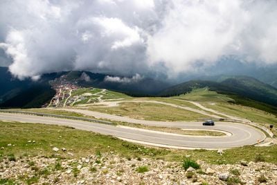
Transalpina is a mountain road in the Parâng Mountains that runs for 148 kilometers through Gorj, Vâlcea, Sibiu and Alba counties. The Urdele Pass at 2145 meters is the highest point, where the road crosses open meadows and rocky slopes.

The route began as Poteca Dracului, a shepherd path used by Mărginimea Sibiului herders crossing into Wallachia; Austrian authorities proposed a road here in 1731. King Carol II ordered reconstruction for horse-drawn mountain artillery, carried out 1934–1939 and inaugurated in 1939 as the Royal Road. German forces rehabilitated it again in World War II.

The name Transalpina comes from Latin texts of Țara Românească and means "the country beyond the mountains". The route was long called Poteca Dracului, the Devil's Path, a name replaced by Drumul Regelui, the King's Road, after Carol II inaugurated it in 1939.

The road is officially a work in progress and is only cleared of snow on the Novaci–Rânca and Dobra–Oașa Dam sections. It is open mid-May to mid-October, daytime only, with a 30 km/h speed limit and a 7.5-tonne weight limit; crossing takes at least three hours.

The old name Poteca Dracului, or Devil's Path, referred to the whole shepherd route, not just Urdele Pass. The road was renamed Drumul Regelui, the King's Road, after Carol II drove the full route himself at the 1939 opening.

The community of curious travelers

AroundUs brings together thousands of curated places, local tips, and hidden gems, enriched daily by 92,317 contributors worldwide.
Start exploring
Location
Length
148 km
Reference
DN67C
Color
#ff0000
Address
Voineasa, Romania
Opening Hours
Monday-Sunday 07:00-20:00
GPS coordinates
45.52174,23.62651
Latest update
October 22, 2026 18:47
Reviews
Share your experience

No review yet

Discussions
Start a discussion...

No discussion yet

« Transalpina - Mountain road through Parâng Mountains, Romania » is provided by Around Us (aroundus.com). Images and texts are derived from Wikimedia project under a Creative Commons license. You are allowed to copy, distribute, and modify copies of this page, under the conditions set by the license, as long as this note is clearly visible.

Discover hidden gems everywhere you go!

From secret cafés to breathtaking viewpoints, skip the crowded tourist spots and find places that match your style. Our app makes it easy with voice search, smart filtering, route optimization, and insider tips from travelers worldwide. Download now for the complete mobile experience.

Around Us App Screenshot
❝

A unique approach to discovering new places❞

— Le Figaro

❝

All the places worth exploring❞

— France Info

❝

A tailor-made excursion in just a few clicks❞

— 20 Minutes

Around Us
Travel Guide & Maps
Download

Send to your phone

QR Code
1

Open the camera app on your mobile.

2

Point at the QR code with your camera. A notification will appear.

3

Tap the notification to open the link.