
Crna Čuka, Berggipfel in Serbien
Location: Serbia
Elevation above the sea: 737 m
GPS coordinates: 43.17722,21.43833
Latest update: April 13, 2025 09:36
Đavolja Varoš
21.4 km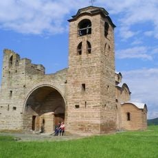
Church of St. Nicholas, Kuršumlija
13.8 km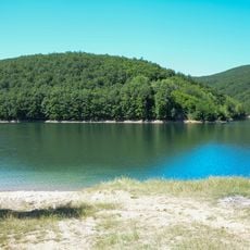
Крајковачко језеро
24.4 km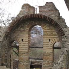
Church of the Holy Mother of God, Kuršumlija
12.7 km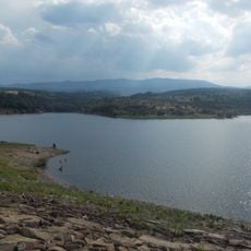
Λίμνη Μπρεστοβάσκο
20.9 km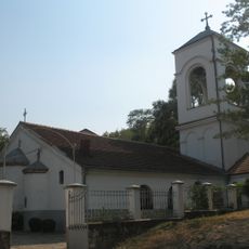
Saint Procopius church in Prokuplje
13.2 km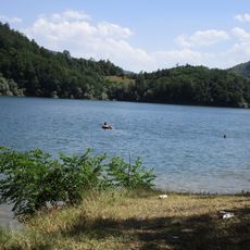
Jezero Barje
20.9 km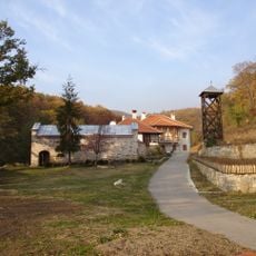
Ajdanovac Monastery
19.6 km
Vidojevica
10.3 km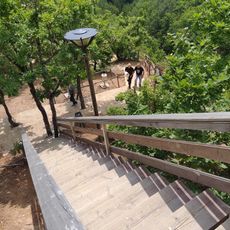
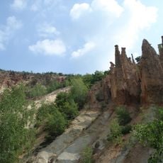
Devil's Town
20.9 km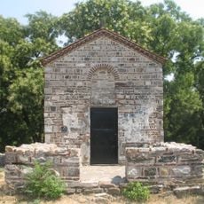
Latin church in Prokuplje
13.2 km
Lazarica, Prolom
15.8 km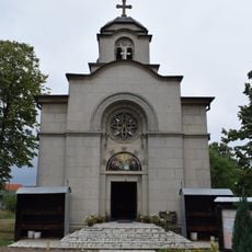
Church of the Assumption of the Holy Virgin in Blace
18.3 km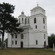
Église Saint-Michel-et-Saint-Gabriel de Kondželj
7.3 km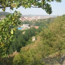
Prokuplje Fortress
12.5 km
Latin Church
21.9 km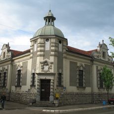
National Museum of Toplica
13.7 km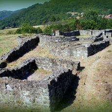
Église Saint-Marc de Kastrat
13.2 km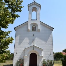
Église Saint-Pierre-et-Saint-Paul de Žitorađa
21.2 km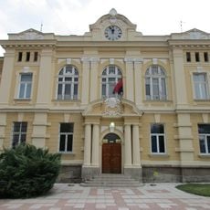
Bâtiment de la municipalité à Prokuplje
13.8 km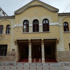
Bâtiment de la maison Sokol à Prokuplje
13.9 km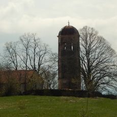
Црква Свете Тројице у Ображди
23.4 km
Église de la Dormition-de-la-Mère-de-Dieu de Žitorađa
23 km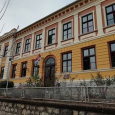
Bâtiment du Vieux lycée à Prokuplje
14 km
Зграда музеја Топлице
13.9 km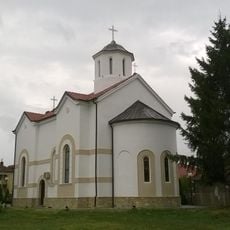
Holy Trinity Church, Kuršumlija
14 km
Kodra
15.9 km
Prokuplje (kapital sa distrito)
13.7 kmReviews
Visited this place? Tap the stars to rate it and share your experience / photos with the community! Try now! You can cancel it anytime.
Discover hidden gems everywhere you go!
From secret cafés to breathtaking viewpoints, skip the crowded tourist spots and find places that match your style. Our app makes it easy with voice search, smart filtering, route optimization, and insider tips from travelers worldwide. Download now for the complete mobile experience.

A unique approach to discovering new places❞
— Le Figaro
All the places worth exploring❞
— France Info
A tailor-made excursion in just a few clicks❞
— 20 Minutes