Vladivostok

Log in to your account

AroundUs is a community-driven map of interesting places, built by curious explorers like you. It grows with every review, story, and photo you share.
Connect to save your favorite spots, contribute locations, and create personalized routes.
Continue with Google
Continue with Apple
Continue with X
Continue with Facebook
Continue with email
By continuing, you accept our Terms and Conditions and our Privacy Policy
Create an account
Add to collection
Map
Suggest a change
Share

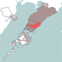
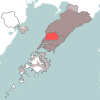
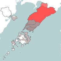
Vladivostok, Port city in Primorsky Krai, Russia.

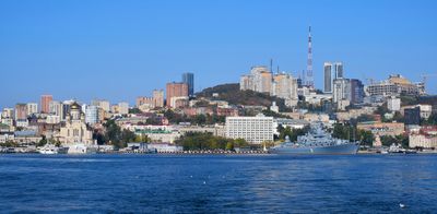
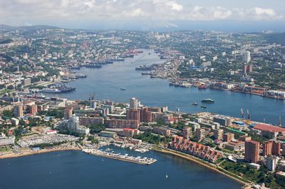
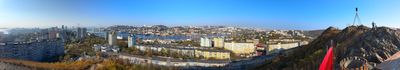
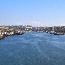
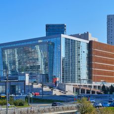
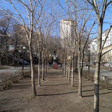
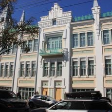
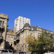
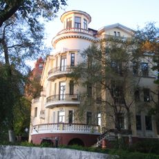
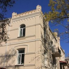
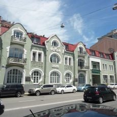
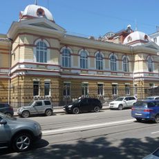
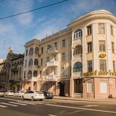
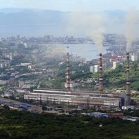
This port city sits on the Muravyov-Amursky Peninsula facing the Sea of Japan, spreading across multiple hills and bays linked by large bridges. The whole area unfolds irregularly between water and steep slopes, creating neighborhoods with winding streets and stairways that climb through residential districts.

The settlement began in 1860 as a military post and quickly grew into the main naval base for Russia in the Pacific. For decades it remained completely closed to foreigners, only opening gradually after 1991 when international access finally became possible.

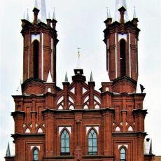
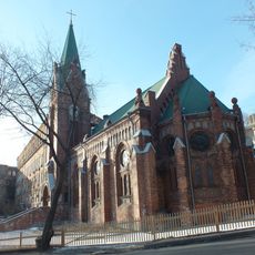
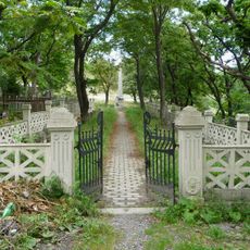
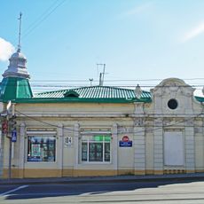
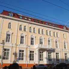
Far from Moscow, the local community has long looked eastward, and you can see this in daily life through the mix of Russian and Asian influences in restaurants, markets, and storefronts. Cafés and shopping streets shape the rhythm of the day, while residents often spend time walking outdoors and gathering near the water despite the harsh winters.

The city forms the eastern endpoint of the Trans-Siberian Railway, linking Moscow to the Pacific through seven time zones. For travelers this means long journey times but also solid rail connections and an international airport for quicker arrivals from Asia.

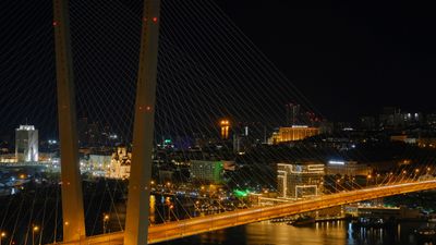
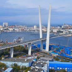
To reach Russky Island you cross a cable-stayed bridge over 3,000 meters long, the longest of its kind in the country. It opened only recently and links the mainland to a formerly military zone now accessible to visitors.

Location: Vladivostoksky Urban Okrug

Inception: June 20, 1860

Elevation above the sea: 12 m

Website: http://vlc.ru

GPS coordinates: 43.11500,131.88528

Latest update: December 12, 2025 19:02

Photos
Around this place
Zolotoy Bridge
Russian Federation

Zolotoy Bridge

1.1 km
Zolotoy Rog
Russian Federation

Zolotoy Rog

865 m
Vladivostok Funicular
Russian Federation

Vladivostok Funicular

1.3 km
Primorsky Theatre of Opera and Ballet
Russian Federation

Primorsky Theatre of Opera and Ballet

1.9 km
Most Holy Mother of God Catholic Church
Russian Federation

Most Holy Mother of God Catholic Church

2.1 km
Former Oriental Institute, Vladivostok
Russian Federation

Former Oriental Institute, Vladivostok

1.2 km
Saint Paul's Lutheran Church
Russian Federation

Saint Paul's Lutheran Church

1.4 km
Czechoslovak Legions Graveyard in Vladivostok
Russian Federation

Czechoslovak Legions Graveyard in Vladivostok

5.6 km
Церковь «Благая Весть»
Russian Federation

Церковь «Благая Весть»

3 km
St. Nicholas Cathedral
Russian Federation

St. Nicholas Cathedral

2.9 km
Svetlanskaya Street 52, Vladivostok
Russian Federation

Svetlanskaya Street 52, Vladivostok

695 m
Жариковский сквер
Russian Federation

Жариковский сквер

2.1 km
Pushkinskaya Street 27, Vladivostok
Russian Federation

Pushkinskaya Street 27, Vladivostok

1.2 km
Дом Н.В. Соллогуба
Russian Federation

Дом Н.В. Соллогуба

857 m
People's House, Vladivostok
Russian Federation

People's House, Vladivostok

1.8 km
Sinkevich's Apartment Houses, Vladivostok
Russian Federation

Sinkevich's Apartment Houses, Vladivostok

1.4 km
Приморский краевой художественный колледж
Russian Federation

Приморский краевой художественный колледж

957 m
Svetlanskaya Street 69, Vladivostok
Russian Federation

Svetlanskaya Street 69, Vladivostok

1.1 km
Ансамбль жилых корпусов Сибирского флотского экипажа
Russian Federation

Ансамбль жилых корпусов Сибирского флотского экипажа

1.7 km
Valden House
Russian Federation

Valden House

839 m
Pushkinskaya Street 19, Vladivostok
Russian Federation

Pushkinskaya Street 19, Vladivostok

1.1 km
Доходный дом А.Б. Филипченко
Russian Federation

Доходный дом А.Б. Филипченко

1.9 km
Svetlanskaya Street 71, Vladivostok
Russian Federation

Svetlanskaya Street 71, Vladivostok

1.2 km
Svetlanskaya Street 63, Vladivostok
Russian Federation

Svetlanskaya Street 63, Vladivostok

875 m
Торговый дом Кунст и Альберс в Офицерской слободе
Russian Federation

Торговый дом Кунст и Альберс в Офицерской слободе

2.6 km
Городская управа (Владивосток)
Russian Federation

Городская управа (Владивосток)

797 m
Pushkinskaya Street 39, Vladivostok
Russian Federation

Pushkinskaya Street 39, Vladivostok

1.5 km
Жилой дом (Пушкинская, 25а)
Russian Federation

Жилой дом (Пушкинская, 25а)

1.2 km
Show the full map
Reviews

Visited this place? Tap the stars to rate it and share your experience / photos with the community! Try now! You can cancel it anytime.

« Vladivostok - Port city in Primorsky Krai, Russia » is provided by Around Us (aroundus.com). Images and texts are derived from Wikimedia project under a Creative Commons license. You are allowed to copy, distribute, and modify copies of this page, under the conditions set by the license, as long as this note is clearly visible.

Discover hidden gems everywhere you go!

From secret cafés to breathtaking viewpoints, skip the crowded tourist spots and find places that match your style. Our app makes it easy with voice search, smart filtering, route optimization, and insider tips from travelers worldwide. Download now for the complete mobile experience.

Around Us App Screenshot

A unique approach to discovering new places

Le Figaro

All the places worth exploring

France Info

A tailor-made excursion in just a few clicks

20 Minutes