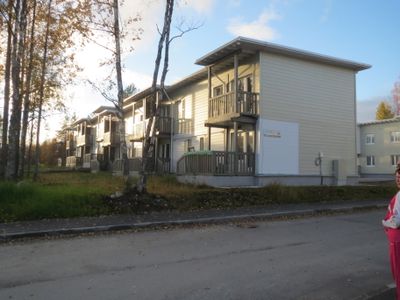
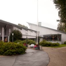
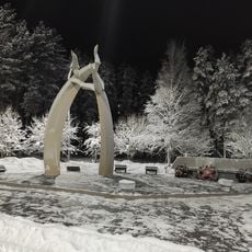
Kostomuksha, Mining town in Republic of Karelia, Russia.
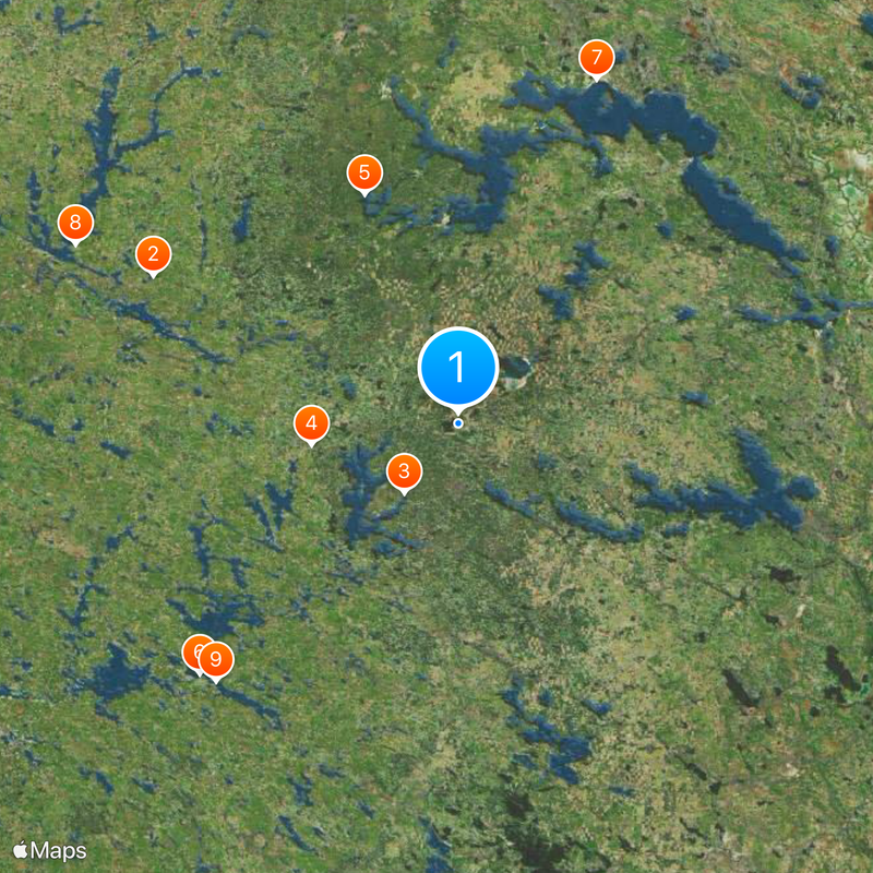
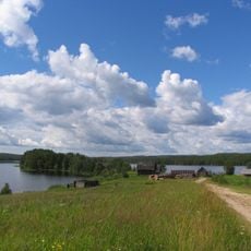
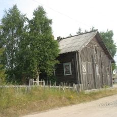
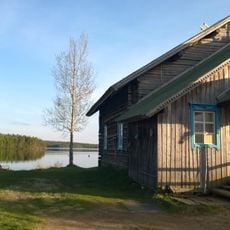
Kostomuksha is a town in the Republic of Karelia in Russia, located near Lake Kontoki at roughly 220 meters (720 feet) elevation. The surrounding area consists of extensive forests and wetlands in the northwestern part of the region.
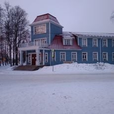
The settlement was established in 1977 when Finnish construction firms built an industrial hub under an agreement between the Soviet Union and Finland. Its development was closely tied to the creation of iron ore processing facilities in this remote Karelian zone.
The summer chamber music festival draws ensembles and performers from different parts of the country, who come to stay in the settlement for several weeks. Visitors can attend concerts and theater performances in local venues during this period.
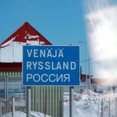
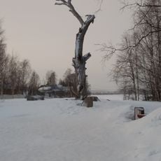
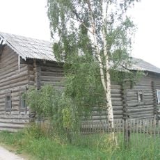
The settlement lies close to the Finnish border and can be reached by roads that pass through dense forests. Visitors should prepare for a subarctic climate with long, cold winters and short summers.
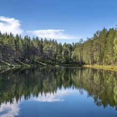
The adjacent nature reserve forms part of a cross-border protected area together with conservation land on the Finnish side. This joint management allows for the preservation of over 47,000 hectares (116,000 acres) of wilderness.
Location: Kostomuksha Urban Okrug
Inception: 1977
Elevation above the sea: 220 m
Website: https://kostomuksha-city.ru
GPS coordinates: 64.58333,30.60000
Latest update: December 5, 2025 16:33
Raatteentie
67.3 km
Kostomuksha Nature Reserve
17.6 km
Vartius
29.7 km
Kalevalsky National Park
49 km
Kuhmo Arts Centre
72.5 km
Памятный знак "Сосна Лённрота" (Калевала)
73.4 km
Suomussalmi Church
83.8 km
Winter war museum
71.2 km
Lentiira Church
42.9 km
Kuhmo Church
73.1 km
Raate Frontier Guard Museum
50.5 km
Juminkeko
73 km
Tuupala museum
73.4 km
Suomussalmi Museum of local history and culture
84.9 km
Могила Перттунена Мийхкали (1815−1899), рунопевца (Ладвозеро)
43.5 km
Kuhmo Town Library
73.3 km
Дом жилой Г.А. Леонтьевой (Калевала)
74.1 km
Братская могила четырех курсантов отряда интернациональной школы под командованием Тойво Антикайнена (Ледмозерское с.п.)
49.6 km
Дом, в котором жила сказительница М.А. Ремшу (Калевала)
73.4 km
Дом жилой Ф.Н. Феклистовой и В.Н. Карху (Калевала)
72.3 km
Дом инженера Моберга (Калевала)
73.6 km
Братская могила бойцов 32 отдельной лыжной бригады, погибших в борьбе с фашистскими захватчиками (Ледмозеро)
77.9 km
Братская могила 19 партизан отряда "Красный Онежец", погибших в борьбе с фашистскими захватчиками (Ребольское с.п.)
82.9 km
Братская могила коммунистов деревни Контокки, расстрелянных белофиннами (Костомукша)
685 m
Дом жилой Лессонена крестьянский (Суднозеро)
48.9 km
Могила Гурьева Г.Е. (1872−1922), расстрелянного белофиннами (Кимасозеро)
36.8 km
Памятное место, где отрядом курсантов Интернациональной военной школы под командованием Тойво Антикайнена был разгромлен белофинский штаб (Кимасозеро)
37.6 km
Памятник, установленный в честь первооткрывателей Костомукшского железорудного месторождения (Костомукша)
763 mVisited this place? Tap the stars to rate it and share your experience / photos with the community! Try now! You can cancel it anytime.
Discover hidden gems everywhere you go!
From secret cafés to breathtaking viewpoints, skip the crowded tourist spots and find places that match your style. Our app makes it easy with voice search, smart filtering, route optimization, and insider tips from travelers worldwide. Download now for the complete mobile experience.
A unique approach to discovering new places❞
— Le Figaro
All the places worth exploring❞
— France Info
A tailor-made excursion in just a few clicks❞
— 20 Minutes