Enable Location

We need your location to show you interesting places around you

Discover nearby places

Find interesting locations and hidden gems around you

Precise directions

Get accurate directions and distances to places

Your location is never shared with other users. It's only used when you tap the location button.

Lobnya

Log in to your account

Start exploring — it's free

Trusted by 62,931 travelers worldwide

Continue with Google
Continue with Apple
or

We will send you a code to connect

By continuing, you accept our Terms and Conditions and our Privacy Policy

Check your inbox

We've sent a pincode in your inbox. Please enter the code below.

Lobnya
Discussion Reviews 2 Photos
82.9k Popularity

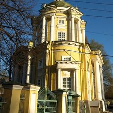
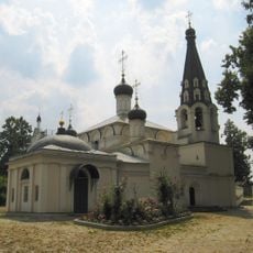
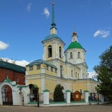
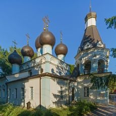
Lobnya, Administrative center in Moscow Oblast, Russia

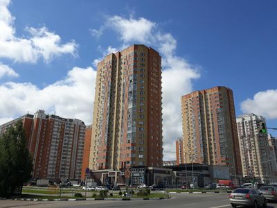
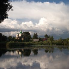
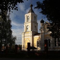
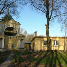
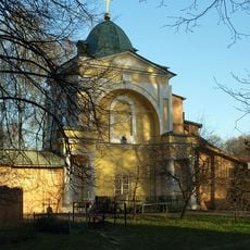
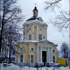
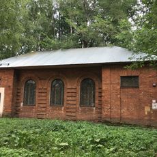
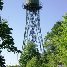
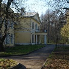
Lobnya sits roughly thirty kilometers north of the Russian capital at an elevation near 195 meters, forming part of the greater Moscow urban region. The settlement spreads along the railway line and combines residential neighborhoods with commercial zones.

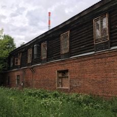
The settlement began in 1902 as a railway workers' village along the newly opened northern line. It gained official town status in 1961, completing the shift from rural countryside to urban center.

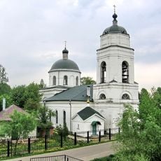
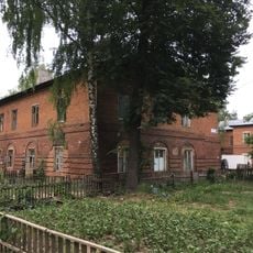
The town name comes from an old Russian word for a swampy river hollow, reflecting the landscape before settlement. Today it serves as a commuter zone with apartment blocks and shopping streets used mainly by people working in the capital.

The location near Sheremetyevo Airport and regular train links to central Moscow make the area easy to reach. Visiting on a weekday gives a better sense of local life and daily routines.

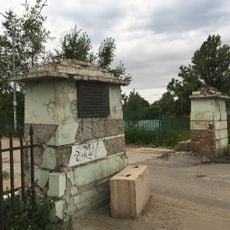
During the Second World War, the Krasnaya Polyana area marked the northernmost point German troops reached in their advance toward Moscow. This line held for only a few weeks before the Soviet counteroffensive began.

The community of curious travelers

AroundUs brings together thousands of curated places, local tips, and hidden gems, enriched daily by 60,000 contributors worldwide.

Start exploring
Location
Lobnya Urban Okrug
Inception
1902
Elevation above the sea
195 m
GPS coordinates
56.01667,37.48333
Latest update
December 13, 2025 16:22
Around this place
Marfino
Russian Federation

Marfino

8.7 km
Vinogradovo Estate
Russian Federation

Vinogradovo Estate

9 km
Kiyovo
Russian Federation

Kiyovo

588 m
Kuznetsov's manor in Dolgoprudny
Russian Federation

Kuznetsov's manor in Dolgoprudny

7 km
Russian Federation

Совхоза Останкино

6.6 km
Dolgiye ponds
Russian Federation

Dolgiye ponds

9.4 km
Church of Saint Nicholas
Russian Federation

Church of Saint Nicholas

8.8 km
Church of Saint Vladimir in Vinogradovo
Russian Federation

Church of Saint Vladimir in Vinogradovo

9.1 km
Church of the Saviour Not Made by Hands in Vodniki
Russian Federation

Church of the Saviour Not Made by Hands in Vodniki

7.3 km
Church of the Holy Mandylion in Kiovo
Russian Federation

Church of the Holy Mandylion in Kiovo

626 m
Trinity Church in Chashnikovo
Russian Federation

Trinity Church in Chashnikovo

5.9 km
Church of the Dormition of the Theotokos, Trakhoneevo
Russian Federation

Church of the Dormition of the Theotokos, Trakhoneevo

6.9 km
Posyolok sovkhoza Marfino
Russian Federation

Posyolok sovkhoza Marfino

8.8 km
Церковь Святой Троицы в Троице-Сельцы
Russian Federation

Церковь Святой Троицы в Троице-Сельцы

5.9 km
Horse yard in Vinogradovo
Russian Federation

Horse yard in Vinogradovo

8.9 km
Звонница (Северный)
Russian Federation

Звонница (Северный)

9.1 km
Часовня (Северный)
Russian Federation

Часовня (Северный)

9.2 km
German house in Vinogradovo
Russian Federation

German house in Vinogradovo

9.1 km
Cellar in Vinogradovo
Russian Federation

Cellar in Vinogradovo

9.1 km
Barnyard in Vinogradovo
Russian Federation

Barnyard in Vinogradovo

8.7 km
Ограда (фрагменты) (Северный)
Russian Federation

Ограда (фрагменты) (Северный)

9.1 km
Владимирская церковь (Северный)
Russian Federation

Владимирская церковь (Северный)

9.1 km
Workers Club in Vinogradovo
Russian Federation

Workers Club in Vinogradovo

8.8 km
Park in Vinogradovo
Russian Federation

Park in Vinogradovo

9.2 km
Gate, fence and bridge in Vinogradovo
Russian Federation

Gate, fence and bridge in Vinogradovo

9.1 km
Water tower in Lugovaya, Lobnya
Russian Federation

Water tower in Lugovaya, Lobnya

3.2 km
Banza house in Vinogradovo
Russian Federation

Banza house in Vinogradovo

9.1 km
Пилоны въездных ворот с оградой (фрагмент) (Северный)
Russian Federation

Пилоны въездных ворот с оградой (фрагмент) (Северный)

9.1 km
Show the full map
Reviews
Share your experience

No review yet

Discussions
Start a discussion...

No discussion yet

« Lobnya - Administrative center in Moscow Oblast, Russia » is provided by Around Us (aroundus.com). Images and texts are derived from Wikimedia project under a Creative Commons license. You are allowed to copy, distribute, and modify copies of this page, under the conditions set by the license, as long as this note is clearly visible.

Discover hidden gems everywhere you go!

From secret cafés to breathtaking viewpoints, skip the crowded tourist spots and find places that match your style. Our app makes it easy with voice search, smart filtering, route optimization, and insider tips from travelers worldwide. Download now for the complete mobile experience.

Around Us App Screenshot

A unique approach to discovering new places

Le Figaro

All the places worth exploring

France Info

A tailor-made excursion in just a few clicks

20 Minutes

Around Us
Travel Guide & Maps
Download

Send to your phone

QR Code
1

Open the camera app on your mobile.

2

Point at the QR code with your camera. A notification will appear.

3

Tap the notification to open the link.