Chest opened
+${chestReward.xp} XP
Explorer
NOUVEAU ×${chestReward.collectible.quantity}
tapez pour fermer

See the monuments around you in AR Open chests in the app

Around Us is built for your phone — point your camera at the streets and discover the monuments and places around you in augmented reality. Around Us is built for your phone — chests unlock when you walk, explore and capture nearby places.

Enable Location

We need your location to show you interesting places around you

Discover nearby places

Find interesting locations and hidden gems around you

Precise directions

Get accurate directions and distances to places

Your location is never shared with other users. It's only used when you tap the location button.

Dagestanskiye Ogni

Log in to your account

Start exploring — it's free

Trusted by 86,755 travelers worldwide

Continue with Google
Continue with Apple
or

We will send you a code to connect

By continuing, you accept our Terms and Conditions and our Privacy Policy

Check your inbox

We've sent a pincode in your inbox. Please enter the code below.

Dagestanskiye Ogni
Discussion Reviews 1 Photos
26.5k Popularity

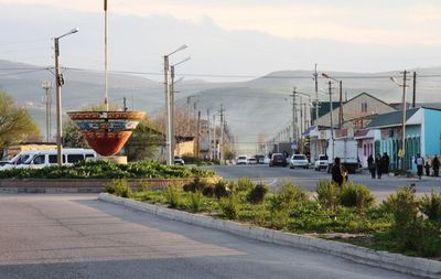
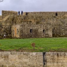
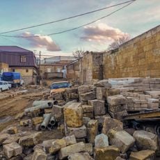
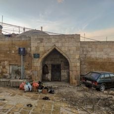
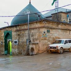
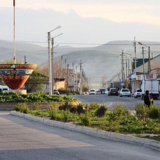
Dagestanskiye Ogni, Industrial town in southern Dagestan, Russia.

Dagestanskiye Ogni is an industrial town situated at the foot of the Greater Caucasus Mountains in southern Dagestan. The settlement developed around a glass factory that became its economic foundation and primary reason for existing.

The settlement was founded in 1914 when a glass factory was built to utilize natural gas reserves in the area. An earthquake in 1904 had exposed these gas deposits, making industrial development possible.

The glass factory brought together workers from different ethnic backgrounds who shared daily life and labor within the same industrial space. This mixing of groups left a lasting mark on how people relate to one another in the town.

The town is compact and walkable, making it easy to get a sense of its layout and main areas on foot. Public transportation is limited, so exploring on foot or by local taxi is the most practical way to move around.

Natural gas seeps through cracks in the earth and once created mysterious flames across the landscape that could be seen at night. The town's name means "Dagestan Lights" and directly references these flickering fires that made the area distinctive.

The community of curious travelers

AroundUs brings together thousands of curated places, local tips, and hidden gems, enriched daily by 60,000 contributors worldwide.
Start exploring
Location
Inception
1914
Elevation above the sea
35 m
GPS coordinates
42.11667,48.20000
Latest update
September 13, 2026 00:48
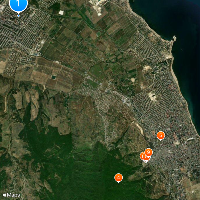
Around this place
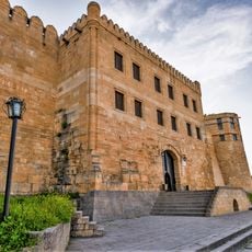
Naryn Castle
Russian Federation

Naryn Castle

5.8 mi
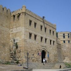
Derbent Fortress
Russian Federation

Derbent Fortress

5.9 mi
Derbent Wall
Russian Federation

Derbent Wall

5.9 mi
Kyrkhlyar
Russian Federation

Kyrkhlyar

5.7 mi
Водохранилище крестообразное
Russian Federation

Водохранилище крестообразное

5.8 mi
Ворота «Нарын-Кала-Капы»
Russian Federation

Ворота «Нарын-Кала-Капы»

5.8 mi
Родник «Кала-Булаг»
Russian Federation

Родник «Кала-Булаг»

5.8 mi
Водохранилище подземное № 2
Russian Federation

Водохранилище подземное № 2

5.8 mi
Мечеть с минаретом
Russian Federation

Мечеть с минаретом

5.8 mi
Ворота «Баят-Капы» (Дербент)
Russian Federation

Ворота «Баят-Капы» (Дербент)

5.9 mi
Ворота «Кырхляр-Капы» (Дербент)
Russian Federation

Ворота «Кырхляр-Капы» (Дербент)

5.9 mi
Мечеть
Russian Federation

Мечеть

5.9 mi
Килиса-мечеть
Russian Federation

Килиса-мечеть

5.9 mi
Памятник воинам 345-й стрелковой дивизии (Дербент)
Russian Federation

Памятник воинам 345-й стрелковой дивизии (Дербент)

5.9 mi
Мавзолей Дербентских ханов
Russian Federation

Мавзолей Дербентских ханов

5.7 mi
Водохранилище круглое
Russian Federation

Водохранилище круглое

5.8 mi
Тюрьма подземная малая
Russian Federation

Тюрьма подземная малая

5.8 mi
Ворота «Джарчи-Капы» (Дербент)
Russian Federation

Ворота «Джарчи-Капы» (Дербент)

5.8 mi
Баня ханская
Russian Federation

Баня ханская

5.8 mi
Площадь торговая у Килиса-мечети
Russian Federation

Площадь торговая у Килиса-мечети

5.9 mi
Постройка служебная
Russian Federation

Постройка служебная

5.9 mi
Ворота «Даг-Капы»
Russian Federation

Ворота «Даг-Капы»

5.8 mi
Старинная восточная баня
Russian Federation

Старинная восточная баня

5.9 mi
Тюрьма подземная
Russian Federation

Тюрьма подземная

5.8 mi
Ханская канцелярия
Russian Federation

Ханская канцелярия

5.8 mi
Кирхляр-мечеть
Russian Federation

Кирхляр-мечеть

5.9 mi
Дворец ханский
Russian Federation

Дворец ханский

5.8 mi
Гауптвахта
Russian Federation

Гауптвахта

5.8 mi
Show the full map
Reviews
Share your experience

No review yet

Discussions
Start a discussion...

No discussion yet

« Dagestanskiye Ogni - Industrial town in southern Dagestan, Russia » is provided by Around Us (aroundus.com). Images and texts are derived from Wikimedia project under a Creative Commons license. You are allowed to copy, distribute, and modify copies of this page, under the conditions set by the license, as long as this note is clearly visible.

Discover hidden gems everywhere you go!

From secret cafés to breathtaking viewpoints, skip the crowded tourist spots and find places that match your style. Our app makes it easy with voice search, smart filtering, route optimization, and insider tips from travelers worldwide. Download now for the complete mobile experience.
Around Us App Screenshot

A unique approach to discovering new places

Le Figaro

All the places worth exploring

France Info

A tailor-made excursion in just a few clicks

20 Minutes

Around Us
Travel Guide & Maps
Download

Send to your phone

QR Code
1

Open the camera app on your mobile.

2

Point at the QR code with your camera. A notification will appear.

3

Tap the notification to open the link.