
Buynaksk, Administrative center in Dagestan, Russia
The town stands at 490 meters elevation in the foothills of the Greater Caucasus, along the Shura-Ozen River, 40 kilometers southwest of Makhachkala.
Established as a Russian fort in 1834, the settlement was initially named Temir-Khan-Shura and gained town status in 1866 as capital of Dagestan Oblast.
The population of 62,623 residents includes Avars, Kumyks, Laks, Dargins, Lezgins, and Russians, each maintaining their traditions and customs in the region.
Visitors should arrange transportation in advance as the town has limited public transit options and requires careful planning for accommodation and supplies.
The town experienced a substantial earthquake in May 1970, which reshaped its architecture and led to the construction of seismically reinforced structures.
Location: Buynaksk Urban Okrug
Inception: 1834
Elevation above the sea: 490 m
Website: http://buynaksk05.ru
GPS coordinates: 42.81667,47.11667
Latest update: May 26, 2025 20:57

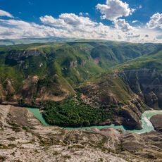
Sulak Canyon
31.9 km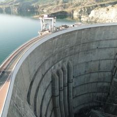
Chirkey Dam
26.8 km
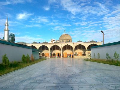
Makhachkala Grand Mosque
35.1 km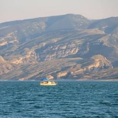
Chirkey Reservoir
25.3 km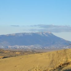
Tarki-Tau
30.8 km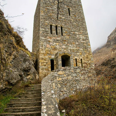
Gimry tower
21.2 km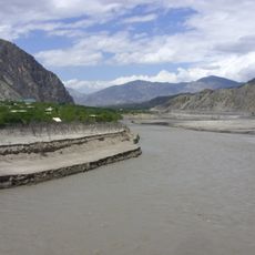
Irganai Reservoir
26.4 km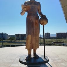
Памятник «Русской учительнице»
34.3 km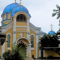
Orthodox cathedral of the Dormition of Our Lady in Makhachkala
34.9 km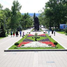
Парк культуры и отдыха имени Ленинского Комсомола (Махачкала)
35.5 km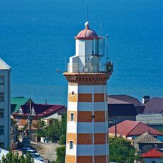
Makhachkala Lighthouse
36.4 km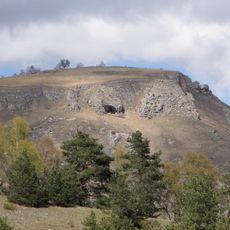
Mountain Botanical Garden
35.9 km
Children's Library of the Republic of Dagestan named after Nuratdin Yusupov
35.7 km
Institute of History, Archaeology and Ethnography
35.4 km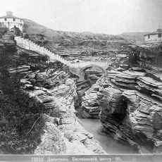
Евгеньевское укрепление
22.9 km
Luxor
34.7 km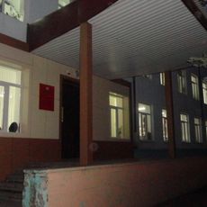
Здание средней школы № 13, где размещался эвакогоспиталь 1614 (Махачкала)
36.2 km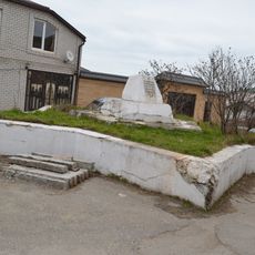
Братская могила воинов, погибших при защите г. Порт-Петровска от банд Гоцинского. На могиле установлен памятник (Махачкала)
36.1 km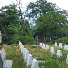
Братская могила советских воинов, умерших от ран в госпиталях в годы Великой Отечественной войны 1941-1945 гг. (Махачкала)
35.3 km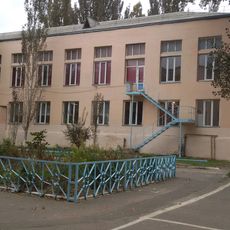
Здание средней школы № 5, где размещался эвакогоспиталь 4651 (Махачкала)
36.2 km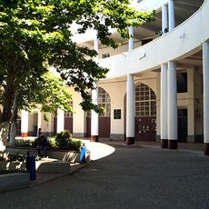
Здание Сельхозинститута - первое в СССР здание из “теплого” бетона (Махачкала)
35.2 km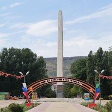
Памятник “Борцам за власть Советов в Дагестане” (Махачкала)
35.3 km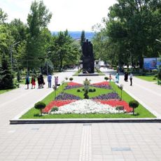
Памятник воинам, умершим в госпиталях в годы Великой Отечественной войны 1941-1945 гг. (Махачкала)
36 km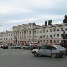
Здание, где в годы Великой Отечественной войны находился эвакогоспиталь № 2924 (Махачкала)
36.3 km
Обелиск строителям дороги Порт-Петровск - Темир-Хан-Шура (Ленинкент)
25.5 km
Museum in Buynaksk
841 m
Здание вокзала на ж\д станции (Кумторкала)
23 km
Здание Махачкалинской тюрьмы - историко-революционный памятник (Махачкала)
36.3 kmReviews
Visited this place? Tap the stars to rate it and share your experience / photos with the community! Try now! You can cancel it anytime.
Discover hidden gems everywhere you go!
From secret cafés to breathtaking viewpoints, skip the crowded tourist spots and find places that match your style. Our app makes it easy with voice search, smart filtering, route optimization, and insider tips from travelers worldwide. Download now for the complete mobile experience.

A unique approach to discovering new places❞
— Le Figaro
All the places worth exploring❞
— France Info
A tailor-made excursion in just a few clicks❞
— 20 Minutes