Buynaksk, Administrative center in Dagestan, Russia
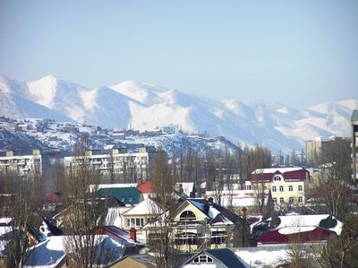
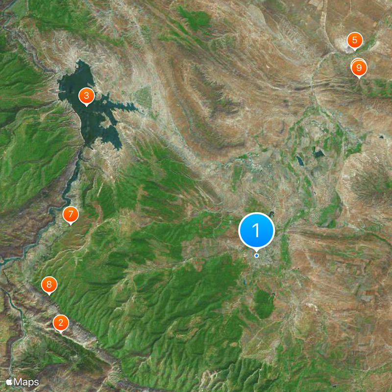
Buynaksk sits at 490 meters elevation in the foothills of the Greater Caucasus and spreads along the Shura-Ozen River, 40 kilometers southwest of Makhachkala. The town serves as a gateway between the lowland plains and the mountain ranges, with residential neighborhoods climbing the slopes above the valley floor.
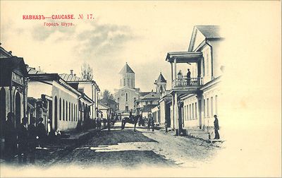
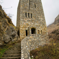
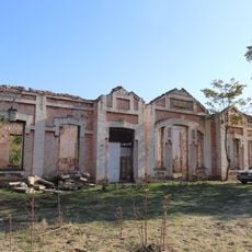
Russian forces established a fortified post here in 1834 and named it Temir-Khan-Shura. The settlement received town status in 1866 and served as the administrative seat of Dagestan until the early 20th century.
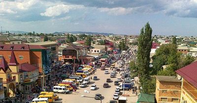
The population of 62,623 residents includes Avars, Kumyks, Laks, Dargins, Lezgins, and Russians, each maintaining their traditions and customs in the region.
Travelers should arrange transport ahead because local options are limited and booking accommodation requires extra attention. Shops and markets are clustered around the center, providing basic supplies and everyday goods for short visits.
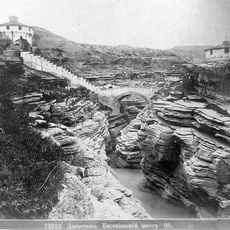
An earthquake in May 1970 destroyed much of the older construction and prompted the rebuilding of the town with reinforced foundations. Low buildings with strengthened frames now define much of the townscape.
The community of curious travelers
AroundUs brings together thousands of curated places, local tips, and hidden gems, enriched daily by 60,000 contributors worldwide.