Bagrationovsk, Border town in Kaliningrad Oblast, Russia
Bagrationovsk is a town in the southern part of Kaliningrad Oblast, situated near the Polish border. It serves as the administrative center for its district and is connected by road links to neighboring Poland and the wider region.
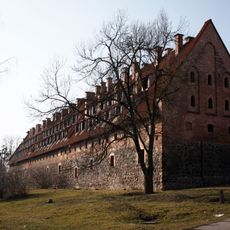
The settlement was founded in 1325 by the Teutonic Knights, who built a castle in the area, and expanded as a town from 1336 onward. It changed hands several times before becoming part of the Soviet Union in 1946, when it received its current name.
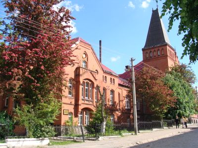
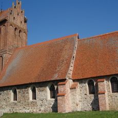
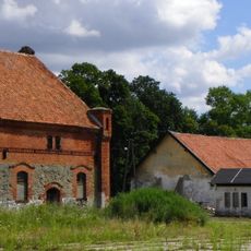
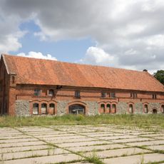
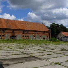
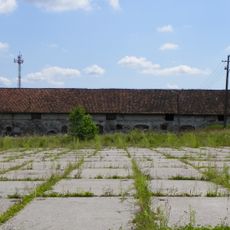
The town displays a mix of buildings that reflect its complicated past, with influences from German, Polish, and Russian architectural styles. You can see these layers when you walk through the streets and look at the older structures.
You can reach the town by road via connections to Poland, and local services include schools, administrative buildings, and community centers. These facilities provide basic amenities for travelers passing through or staying briefly.
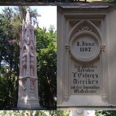
The town's name was chosen in 1946 to honor a Russian military leader, which symbolized the Soviet reshaping of the region after World War II. This naming reflects the complete integration into the Soviet Union and marks a sharp break from its earlier identities.
Location: Bagrationovsky District
Inception: 1336
Elevation above the sea: 70 m
Website: http://bagrationovsk.gov39.ru
GPS coordinates: 54.38333,20.63333
Latest update: December 7, 2025 10:00
Preußisch Eylau Castle
373 m
Monument in honor of the battle of Preussisch-Eylau
1.3 km
Village Church
11.4 km
Exaltation of the Holy Cross church in Górowo Iławeckie
14.3 km
Sacred Heart church in Górowo Iławeckie
14.2 km
Orthodox church of the Dormition in Górowo Iławeckie
14.4 km
Ruins of Lutheran church in Borki
14.9 km
Schloss Kilgis
15.6 km
Muzeum Gazownictwa (Górowo Iławeckie)
14.4 km
Saint Andrew Bobola church in Wojciechy
13.7 km
Górowo Iławeckie Town Hall
14.3 km
Water towers in Górowo Iławeckie
14.9 km
Saints Faith, Hope, Charity and their mother Sophia church in Bagrationovsk
378 m
Jewish cemetery in Górowo Iławeckie
14 km
Здание народной школы (Домново)
13.8 km
Братская могила советских воинов, погибших в боях с фашистами (Домново)
13.7 km
Кирха приходская (Домново)
13.5 km
Улица Иркутско-Пинской дивизии 7
13.9 km
Кирха Абшвангена (Тишино)
15.3 km
The urban layout of the old town
14.2 km
Chlew
8.7 km
Magazyn (spichrz)
8.7 km
Stajnia, ob. warsztat
8.8 km
Памятник жителям города Домнау — жертвам Первой Мировой войны 1914-1918 гг. с установленным на нём памятным знаком русским воинам, погибшим в сражении с войсками Наполеона в 1807 году
13.4 km
Manor house in Bezledy
8.7 km
Zbiornik wyrównawczy
14.4 km
Gasworks in Górowo Iławeckie
14.4 km
Gazownia
14.4 kmVisited this place? Tap the stars to rate it and share your experience / photos with the community! Try now! You can cancel it anytime.
Discover hidden gems everywhere you go!
From secret cafés to breathtaking viewpoints, skip the crowded tourist spots and find places that match your style. Our app makes it easy with voice search, smart filtering, route optimization, and insider tips from travelers worldwide. Download now for the complete mobile experience.
A unique approach to discovering new places❞
— Le Figaro
All the places worth exploring❞
— France Info
A tailor-made excursion in just a few clicks❞
— 20 Minutes