Enable Location

We need your location to show you interesting places around you

Discover nearby places

Find interesting locations and hidden gems around you

Precise directions

Get accurate directions and distances to places

Your location is never shared with other users. It's only used when you tap the location button.

Belebey

Log in to your account

Start exploring — it's free

Trusted by 62,396 travelers worldwide

Continue with Google
Continue with Apple
or

We will send you a code to connect

By continuing, you accept our Terms and Conditions and our Privacy Policy

Check your inbox

We've sent a pincode in your inbox. Please enter the code below.

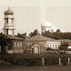
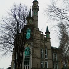
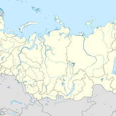
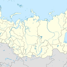
Belebey, Administrative center in Bashkortostan, Russia

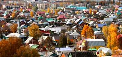
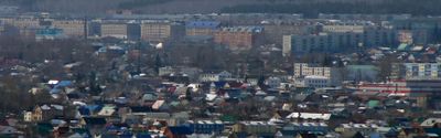
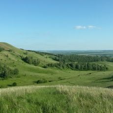
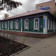
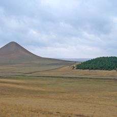
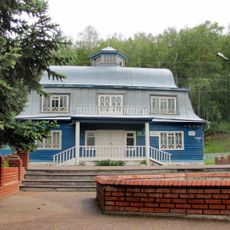
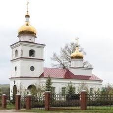
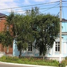
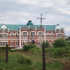
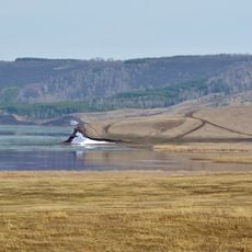
Belebey is a city in the Republic of Bashkortostan situated in rolling terrain and shaped by the Usen River. The settlement spreads across several neighborhoods where homes, small shops, and public spaces structure daily life.

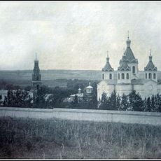
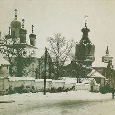
The settlement began in 1715 as an outpost during Russian expansion into eastern regions. It received official city status in 1781 and later became an important local administrative center for the area.

The town developed as a trading post where craftspeople and merchants gathered to exchange goods and services. People from different backgrounds lived side by side, shaping the character of the place through their daily routines and local customs.

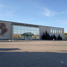
The city is easiest to reach via regional roads that connect it with other places in Bashkortostan. Visitors will find basic services and accommodations in the town center, where most public buildings are located.

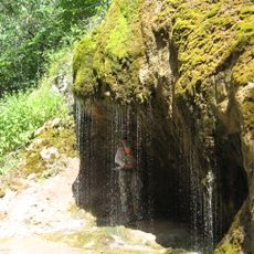
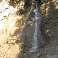
The location experiences cold winters and warm summers, which shapes how people here live and work. These weather conditions also influence which plants and animals are found in the surrounding area.

The community of curious travelers

AroundUs brings together thousands of curated places, local tips, and hidden gems, enriched daily by 60,000 contributors worldwide.

Start exploring
Location
Urban settlement Belebey
Inception
1757
Elevation above the sea
300 m
GPS coordinates
54.10000,54.13333
Latest update
December 14, 2025 19:10
Around this place
Çatır taw
Russian Federation

Çatır taw

107.3 km
Khusein-bek Mausoleum
Russian Federation

Khusein-bek Mausoleum

99 km
Tura-khan Mausoleum
Russian Federation

Tura-khan Mausoleum

90.1 km
Vertolyotnaya Cave
Russian Federation

Vertolyotnaya Cave

121.8 km
Бугульминский Казанско-Богородицкий монастырь
Russian Federation

Бугульминский Казанско-Богородицкий монастырь

100.7 km
Shumilovsky waterfall
Russian Federation

Shumilovsky waterfall

43.3 km
Bugulminsky Alexandro-Nevsky monastery
Russian Federation

Bugulminsky Alexandro-Nevsky monastery

89 km
Jaroslav Hašek museum, Bugulma
Russian Federation

Jaroslav Hašek museum, Bugulma

99.6 km
Susaktau
Russian Federation

Susaktau

61.1 km
Saint Michael the Archangel Church
Russian Federation

Saint Michael the Archangel Church

1.3 km
Madina Mosque
Russian Federation

Madina Mosque

127.9 km
Sharlama waterfall
Russian Federation

Sharlama waterfall

31.2 km
Arena Sterlitamak
Russian Federation

Arena Sterlitamak

128.6 km
Бугурусланский Покровский монастырь
Russian Federation

Бугурусланский Покровский монастырь

122.7 km
Russian Federation

С. Н. Ғимаев исемендәге боҙло комплекс

62.8 km
Sodovik Stadium
Russian Federation

Sodovik Stadium

131.3 km
Музей Марины Цветаевой
Russian Federation

Музей Марины Цветаевой

16.9 km
Tuymazy State Tatar Drama Theatre
Russian Federation

Tuymazy State Tatar Drama Theatre

62.5 km
Стерлитамакская государственная филармония
Russian Federation

Стерлитамакская государственная филармония

129 km
Annunciation convent
Russian Federation

Annunciation convent

130.1 km
"Ozodlik" Sterlitamakdagi yodgorlik
Russian Federation

"Ozodlik" Sterlitamakdagi yodgorlik

130 km
Церковь Димитрия Солунского
Russian Federation

Церковь Димитрия Солунского

7.3 km
Храм Святой Троицы города Бугуруслана
Russian Federation

Храм Святой Троицы города Бугуруслана

124.6 km
Бугульминский краеведческий музей
Russian Federation

Бугульминский краеведческий музей

99.6 km
Здание земской управы (Белебей)
Russian Federation

Здание земской управы (Белебей)

1.2 km
Маклауш (разъезд)
Russian Federation

Маклауш (разъезд)

124.5 km
Asylykyul nature park
Russian Federation

Asylykyul nature park

41.2 km
Тирис (разъезд)
Russian Federation

Тирис (разъезд)

68.2 km
Show the full map
« Belebey - Administrative center in Bashkortostan, Russia » is provided by Around Us (aroundus.com). Images and texts are derived from Wikimedia project under a Creative Commons license. You are allowed to copy, distribute, and modify copies of this page, under the conditions set by the license, as long as this note is clearly visible.

Discover hidden gems everywhere you go!

From secret cafés to breathtaking viewpoints, skip the crowded tourist spots and find places that match your style. Our app makes it easy with voice search, smart filtering, route optimization, and insider tips from travelers worldwide. Download now for the complete mobile experience.

Around Us App Screenshot

A unique approach to discovering new places

Le Figaro

All the places worth exploring

France Info

A tailor-made excursion in just a few clicks

20 Minutes

Around Us
Travel Guide & Maps
Download

Send to your phone

QR Code
1

Open the camera app on your mobile.

2

Point at the QR code with your camera. A notification will appear.

3

Tap the notification to open the link.