Enable Location

We need your location to show you interesting places around you

Discover nearby places

Find interesting locations and hidden gems around you

Precise directions

Get accurate directions and distances to places

Your location is never shared with other users. It's only used when you tap the location button.

Taldomsky District

Log in to your account

Start exploring — it's free

Trusted by 62,343 travelers worldwide

Continue with Google
Continue with Apple
or

We will send you a code to connect

By continuing, you accept our Terms and Conditions and our Privacy Policy

Check your inbox

We've sent a pincode in your inbox. Please enter the code below.

Taldomsky District

Taldomsky District, Municipal district in Moscow Oblast, Russia

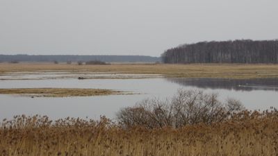
Taldomsky District is a municipal district in northern Moscow Oblast that covers roughly 1,340 square kilometers. It borders both Tver and Vladimir Oblasts and includes several settled communities alongside forests and wetland areas.

The district was established in 1929 and went through several administrative reorganizations over the decades. By 2018, it was restructured as Taldom Urban Okrug with Taldom serving as its administrative center.

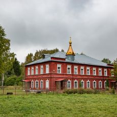
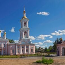
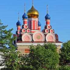
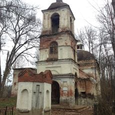
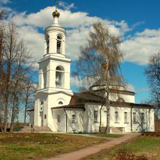
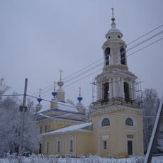
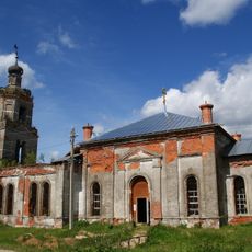
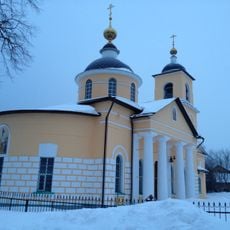
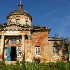
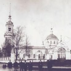
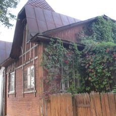
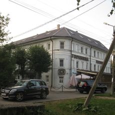
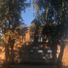
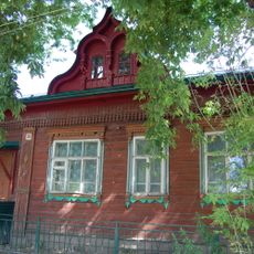
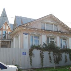
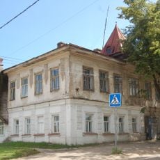
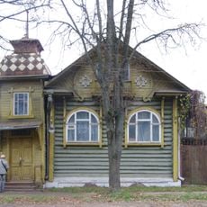
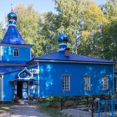
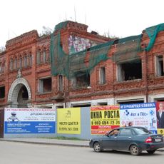
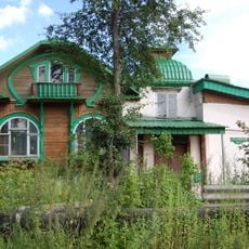
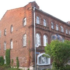
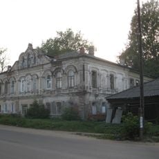
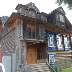
The district encompasses several urban and rural settlements where daily life centers around local markets, small workshops, and community gathering spaces. These places show how the region balances traditional ways with contemporary living.

The district sits about 110 kilometers north of Moscow and connects to the capital through suburban railway lines and extensive road networks. The best time to explore is during warmer months when roads and pathways are most accessible.

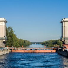
The area holds the second-largest peat reserves in Moscow Oblast and contains the Moscow Canal. This engineered waterway links the Moskva River to the Volga and stands as a notable feat of mid-20th century construction.

The community of curious travelers

AroundUs brings together thousands of curated places, local tips, and hidden gems, enriched daily by 60,000 contributors worldwide.

Start exploring
Location
Inception
1929
Capital city
Taldom
Shares border with
Dubna
GPS coordinates
56.73330,37.53330
Latest update
December 7, 2025 20:21
Around this place
Russian Federation

RBU

7.9 km
Alexander Nevsky Monastery, Maklakovo
Russian Federation

Alexander Nevsky Monastery, Maklakovo

17.5 km
Church of the Ascension of Christ
Russian Federation

Church of the Ascension of Christ

18.5 km
Church of Archangel Michael in Taldom
Russian Federation

Church of Archangel Michael in Taldom

495 m
Church of the Holy Trinity
Russian Federation

Church of the Holy Trinity

13.4 km
Laudation of the Virgin church at Ratmino
Russian Federation

Laudation of the Virgin church at Ratmino

18.8 km
Church of the Kazan Icon of the Mother of God
Russian Federation

Church of the Kazan Icon of the Mother of God

13.8 km
Church of the Kazan Icon of the Mother of God
Russian Federation

Church of the Kazan Icon of the Mother of God

14.4 km
Церковь Вознесения Христова (Новоникольское)
Russian Federation

Церковь Вознесения Христова (Новоникольское)

18.8 km
Church of the Resurrection of Christ, Staraya Khotcha
Russian Federation

Church of the Resurrection of Christ, Staraya Khotcha

18.6 km
Church of the Transfiguration of the Lord
Russian Federation

Church of the Transfiguration of the Lord

8.6 km
Дом жилой (Кимры)
Russian Federation

Дом жилой (Кимры)

18.3 km
Дом жилой (Кимры)
Russian Federation

Дом жилой (Кимры)

18.7 km
Дом жилой Шокиных, в котором неоднократно бывал Генеральный конструктор, Трижды Герой Социалистического Труда А.Н. Туполев (Кимры)
Russian Federation

Дом жилой Шокиных, в котором неоднократно бывал Генеральный конструктор, Трижды Герой Социалистического Труда А.Н. Туполев (Кимры)

18.6 km
Памятник В.И. Ленину (Кимры)
Russian Federation

Памятник В.И. Ленину (Кимры)

18.8 km
Обелиск воинам-землякам, погибшим в боях за родину в 1941-1945 гг. (Кимры)
Russian Federation

Обелиск воинам-землякам, погибшим в боях за родину в 1941-1945 гг. (Кимры)

18.7 km
Дом Рыбакова (Кимры)
Russian Federation

Дом Рыбакова (Кимры)

18.3 km
Дом жилой (Кимры)
Russian Federation

Дом жилой (Кимры)

18.6 km
Торговое здание (Кимры)
Russian Federation

Торговое здание (Кимры)

18.8 km
Дом жилой (Кимры)
Russian Federation

Дом жилой (Кимры)

18.6 km
Uskov house, Kimry
Russian Federation

Uskov house, Kimry

18.3 km
Церковь Успения (Щелково)
Russian Federation

Церковь Успения (Щелково)

14.6 km
Гостиный двор (Кимры)
Russian Federation

Гостиный двор (Кимры)

18.8 km
Дом Хамковой (Кимры)
Russian Federation

Дом Хамковой (Кимры)

18 km
Дом жилой (Кимры)
Russian Federation

Дом жилой (Кимры)

18.8 km
Дом Носова (Кимры)
Russian Federation

Дом Носова (Кимры)

18.3 km
Дом жилой (Кимры)
Russian Federation

Дом жилой (Кимры)

18 km
Шлюз № 2 канала им. Москвы
Russian Federation

Шлюз № 2 канала им. Москвы

18.5 km
Show the full map
« Taldomsky District - Municipal district in Moscow Oblast, Russia » is provided by Around Us (aroundus.com). Images and texts are derived from Wikimedia project under a Creative Commons license. You are allowed to copy, distribute, and modify copies of this page, under the conditions set by the license, as long as this note is clearly visible.

Discover hidden gems everywhere you go!

From secret cafés to breathtaking viewpoints, skip the crowded tourist spots and find places that match your style. Our app makes it easy with voice search, smart filtering, route optimization, and insider tips from travelers worldwide. Download now for the complete mobile experience.

Around Us App Screenshot

A unique approach to discovering new places

Le Figaro

All the places worth exploring

France Info

A tailor-made excursion in just a few clicks

20 Minutes

Around Us
Travel Guide & Maps
Download

Send to your phone

QR Code
1

Open the camera app on your mobile.

2

Point at the QR code with your camera. A notification will appear.

3

Tap the notification to open the link.