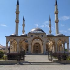
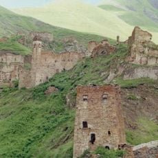
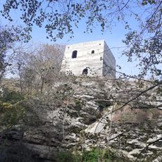
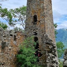
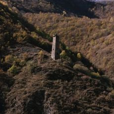
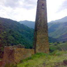
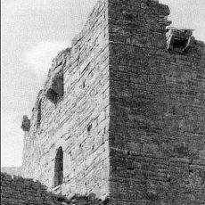
Shatoysky District, Municipal district in southern Chechnya, Russia.
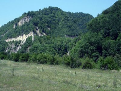
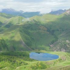
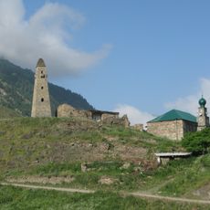
Shatoysky District is a municipal area in southern Chechnya with multiple rural settlements arranged around the administrative hub of Shatoy. The territory features mountainous terrain with dispersed villages and a network of local communities.
The district was established in 1920 and experienced several administrative reforms during the Soviet period that reshaped its boundaries and organization. These changes reflected the broader political shifts affecting the entire region over time.
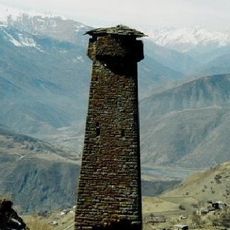
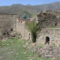
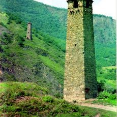
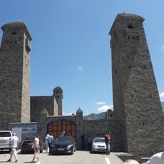
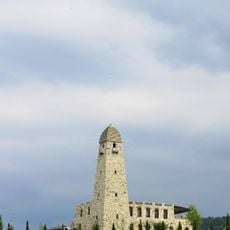
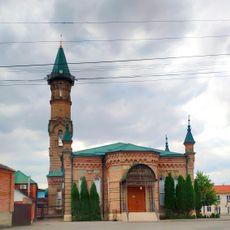
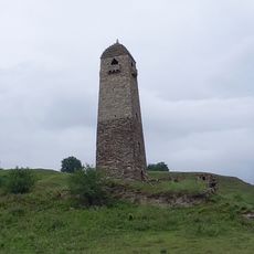
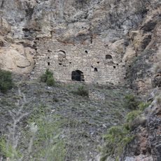
The settlements here reflect traditional Caucasian ways of life, where community ties and local customs shape how people organize daily activities. You notice this in how neighbors interact and in the layout of the villages.
The area has basic medical facilities including a hospital in Shatoy that serves the local population. Travel conditions depend on seasonal road situations, particularly during winter months when access can be limited.
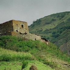
The district preserves a fully decentralized settlement pattern where all residents live in rural villages rather than being concentrated in an urban center. This unusual arrangement means the administrative hub coexists with a widely scattered population across numerous small communities.
Location: Chechnya
Inception: 1920
Capital city: Shatoy
Website: http://sharoy.info
GPS coordinates: 42.87167,45.69917
Latest update: December 8, 2025 13:42
Ushkaloy Towers
11.4 km
Nikhaloy waterfalls
4.7 km
Lake Galanchozh
32.6 km
Хаскалинская боевая башня
20.2 km
Itum-Kale Fortress
19 km
Arqun Muzey-Qoruğu
2 km
Vozdvizhenskoye
26 km
Urus-Martan Mosque
30.7 km
Dora
20.3 km
Category:Shatoy historic & architectural complex
28.3 km
Urus-Martanovsky Zakaznik
14.8 km
Shatoy towers
1.4 km
Nikara qala kompleksi
27.8 km
Махкетинский краеведческий музей
19.7 km
Juma Mosque (New Atagi)
30.1 km
Эткали
20.3 km
Toumsoy Tower
7.2 km
Бекхайла
17 km
Dore II
20.2 km
Саттойская боевая башня
3.2 km
Моцарой
27 km
Гимара
33.9 km
Терхи
29 km
Makazhoy Historical and Architectural Complex
32.8 km
Шулгак
20.3 km
Моцарха
26.9 km
Ведучи
22.4 km
Khimoi Historical and Architectural Complex
27.1 kmVisited this place? Tap the stars to rate it and share your experience / photos with the community! Try now! You can cancel it anytime.
Асланбек-Шеріповське сільське поселення
Больше-Варандинское сельское поселение
Борзойское сельское поселение
Вашендаройское сельское поселение
Дайское сельское поселение
Зонинское сельское поселение
Нихалойское сельское поселение
Нохчи-Келойское сельское поселение
Памятойское сельское поселение
Саттинское сельское поселение
Улус-Кертское сельское поселение
Хал-Келойское сельское поселение
克阿尔塞诺伊农村居民点
Шаро-Аргунское сельское поселение
Шатойское сельское поселение
Discover hidden gems everywhere you go!
From secret cafés to breathtaking viewpoints, skip the crowded tourist spots and find places that match your style. Our app makes it easy with voice search, smart filtering, route optimization, and insider tips from travelers worldwide. Download now for the complete mobile experience.
A unique approach to discovering new places❞
— Le Figaro
All the places worth exploring❞
— France Info
A tailor-made excursion in just a few clicks❞
— 20 Minutes