
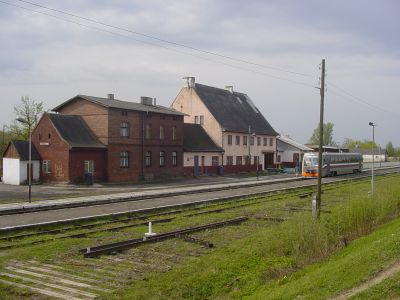
Bolshakovo, human settlement in Slavsky District, Kaliningrad Oblast, Russia
Location: Slavsky District
Elevation above the sea: 17 m
GPS coordinates: 54.86667,21.65000
Latest update: March 17, 2025 11:17
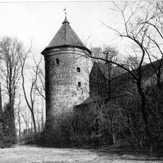
Insterburg Castle
27.2 km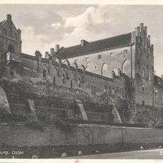
Georgenburg Castle
25 km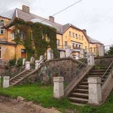
Lauken
26.9 km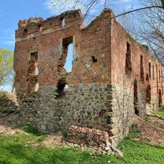
Burg Saalau
24.3 km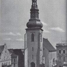
Lutherkirche (Insterburg)
27.4 km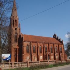
Kirche Heinrichswalde
20.2 km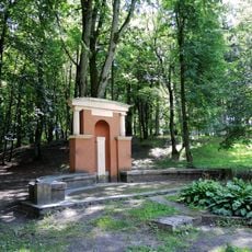
Jacobsruhe
27.4 km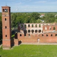
Mehlauken Kirche
8.7 km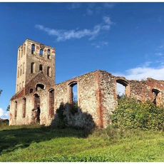
Kirche Neukirch
24.4 km
Church of Three Holy Hierarchs in Sovetsk
27.4 km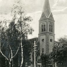
Kirche Grünheide (Ostpreußen)
18 km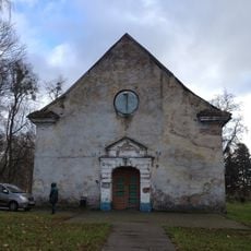
Lauken Kirche
26.8 km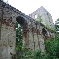
Kirche Szillen
18.4 km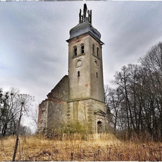
Kirche Popelken
8.5 km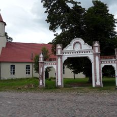
Saints Cyril and Methodius Orthodox church in Bolshakovo
1.1 km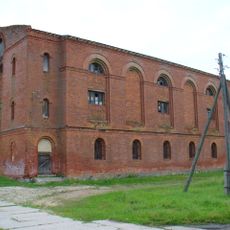
Kirche Jurgaitschen
15 km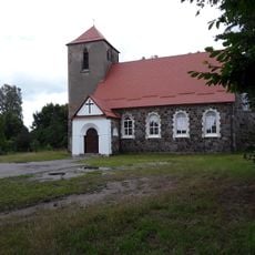
Kirche Augstagirren
20.1 km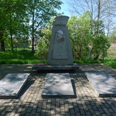
Mayovka war memorial
24.6 km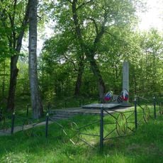
Братская могила советских воинов, погибших в январе 1945 года (Черняховск)
25 km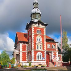
Villa Brandes, Chernyakhovsk
26.9 km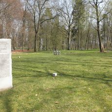
German war cemetery in Sovetsk
27.5 km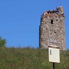
Bismarck tower, Krasnaya Gorka
25.4 km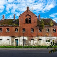
Бывшая тюрьма в пос. Залесье (Залесье)
8.8 km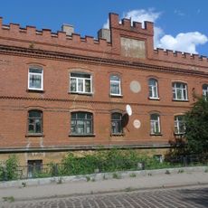
Водяная мельница (Жилой дом) (Черняховск)
27.3 km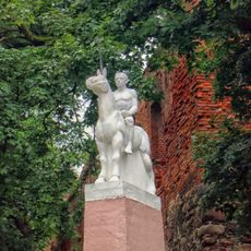
Памятный знак 12-му Литовскому уланскому полку (Черняховск)
27.2 km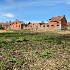
Комплекс сооружений конезавода (Доваторовка)
24.3 km
Green Theatre
27.2 km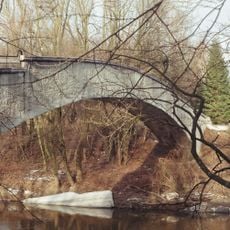
Мост пешеходный «Горбатый» (Черняховск)
27.4 kmVisited this place? Tap the stars to rate it and share your experience / photos with the community! Try now! You can cancel it anytime.
Discover hidden gems everywhere you go!
From secret cafés to breathtaking viewpoints, skip the crowded tourist spots and find places that match your style. Our app makes it easy with voice search, smart filtering, route optimization, and insider tips from travelers worldwide. Download now for the complete mobile experience.

A unique approach to discovering new places❞
— Le Figaro
All the places worth exploring❞
— France Info
A tailor-made excursion in just a few clicks❞
— 20 Minutes