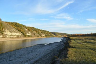
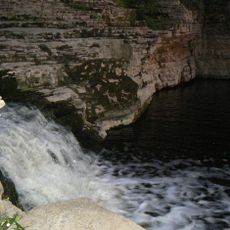
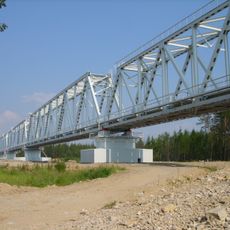
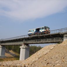
Buotama, River tributary in Sakha Republic, Russia.
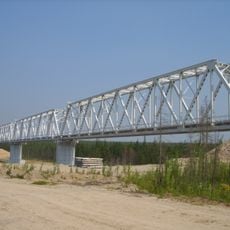
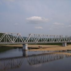
The Buotama is a river in the Sakha Republic that flows eastward across a vast territory. It joins the Lena River system and shapes the landscape of this remote northern area.
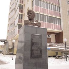
The waterway was documented in geographical records during the Russian Empire period. These early accounts helped map the river systems of this remote region.
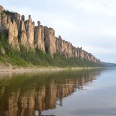
The Buotama River forms part of the Lena Pillars Nature Park, which holds recognition on the UNESCO World Heritage List for its natural formations.
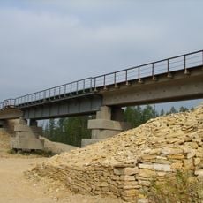
The water freezes during the colder months and thaws in spring. Visitors should consider the season carefully, as conditions and accessibility change dramatically throughout the year.
A breeding program for wood bison was established near a reservoir, bringing animals from North America to this region. This effort created a new population in an area where these animals had not existed in recent times.
GPS coordinates: 60.79052,127.05953
Latest update: December 14, 2025 11:05
Lena Pillars
38.8 km
Amur Yakutsk Mainline
195.7 km
Permafrost Kingdom
195.2 km
Шахта Шергина
197.4 km
Sakha Opera and Ballet Theater
197.2 km
Russian Drama Theatre A. Pushkin
198.2 km
Komuz Museum
197.9 km
Melnikov Permafrost Institute
194.1 km
Statue of Lenin in Yakutsk
198 km
Holy Trinity Cathedral
197.1 km
Սախայի Հանրապետության արվեստի ազգային թանգարան
197.9 km
Kyuryulyur
151 km
Saint Nicholas church in Yakutsk
197.5 km
Этнографический комплекс «Чочур-Муран»
195 km
Nationalbibliothek der Republik Sacha (Jakutien)
197.6 km
Sovet Ittifoqi Qahramoni K. K. Krasnoyarovning yodgorlik-byusti
196.7 km
Railway bridge through Myla river
183.6 km
Railway bridge through Amga river in Verkhnyaya Amga
127.1 km
Railway bridge through Lyutenge river
99.7 km
Road bridge over Amga River in Verkhnyaya Amga
127.3 km
Turuk Khaya Rocks
139.1 km
Railway bridge through Kirim river
121.1 km
Railway bridge through Menda river
149.9 km
Rail bridge over Ulu river
56.5 km
Railway bridge through Tamma river
178.4 km
Railway bridge through Ulakhan-Taryng river
160.7 km
Railway bridge through Lyutenge river
138.7 km
Road bridge over Ulu River in Ulu
56.8 kmVisited this place? Tap the stars to rate it and share your experience / photos with the community! Try now! You can cancel it anytime.
Discover hidden gems everywhere you go!
From secret cafés to breathtaking viewpoints, skip the crowded tourist spots and find places that match your style. Our app makes it easy with voice search, smart filtering, route optimization, and insider tips from travelers worldwide. Download now for the complete mobile experience.
A unique approach to discovering new places❞
— Le Figaro
All the places worth exploring❞
— France Info
A tailor-made excursion in just a few clicks❞
— 20 Minutes