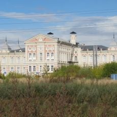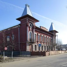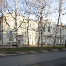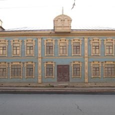
Chest opened
+${chestReward.xp} XP
Explorer
NOUVEAU ×${chestReward.collectible.quantity}
tapez pour fermer

See the monuments around you in AR Open chests in the app

Around Us is built for your phone — point your camera at the streets and discover the monuments and places around you in augmented reality. Around Us is built for your phone — chests unlock when you walk, explore and capture nearby places.

•

Enable Location

We need your location to show you interesting places around you

Discover nearby places

Find interesting locations and hidden gems around you

Precise directions

Get accurate directions and distances to places

Your location is never shared with other users. It's only used when you tap the location button.

Verkhneuslonsky District

Log in to your account

Start exploring — it's free

Trusted by 89,193 travelers worldwide

Continue with Google
Continue with Apple
or

We will send you a code to connect

By continuing, you accept our Terms and Conditions and our Privacy Policy

Check your inbox

We've sent a pincode in your inbox. Please enter the code below.

Verkhneuslonsky District
Discussion Reviews 1 Photos
10.8k Popularity

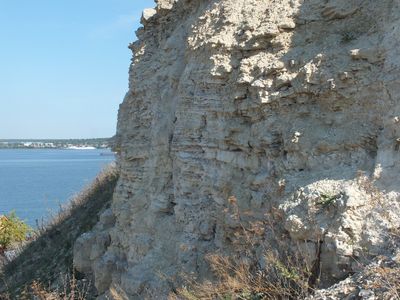
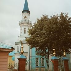
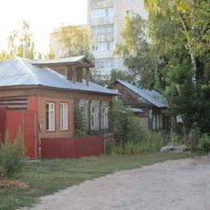
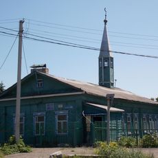
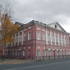
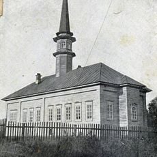
Verkhneuslonsky District, Municipal district in Tatarstan, Russia.

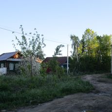
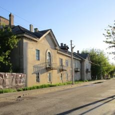
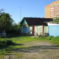
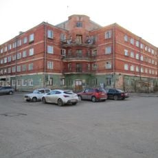
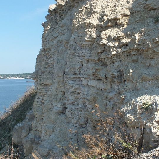
Verkhneuslonsky District is a municipal area in Tatarstan located along the right bank of the Volga River, encompassing natural reserves and numerous archaeological sites. The landscape features forests, river valleys, and scattered settlements connected by local roads.

The district was established in 1931 from the former Sviyazhsk Uyezd of Kazan Governorate. It remained under Soviet administration as part of the Tatar republic until significant administrative changes occurred in the 1990s.

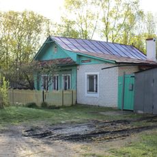
The area maintains a living connection to its past through local museums and preserved sites that tell stories of the region. Visitors encounter traditions and regional identity woven into everyday places and community spaces.

The area offers several recreational and sports facilities scattered across multiple communities, including winter sports centers and specialized clubs. Visitors should note that essential services are concentrated in larger settlements and getting around without a car may be challenging.

The district is home to Innopolis, a special economic zone dedicated to technology and innovation that brings companies and researchers to this traditionally rural area. This unexpected blend of rural heritage and modern technological ambitions shapes the region's development.

The community of curious travelers

AroundUs brings together thousands of curated places, local tips, and hidden gems, enriched daily by 60,000 contributors worldwide.
Start exploring
Location
Inception
October 20, 1931
Capital city
Yuğarı Oslan
GPS coordinates
55.76667,48.98333
Latest update
September 13, 2026 00:52
Around this place
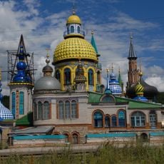
Temple of All Religions
Russian Federation

Temple of All Religions

2.4 mi
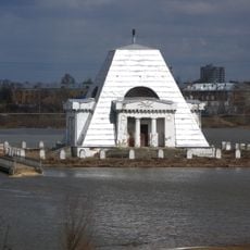
Memorial of the fallen soldiers during the capture of Kazan in 1552
Russian Federation

Memorial of the fallen soldiers during the capture of Kazan in 1552

4.4 mi
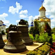
Zilantov monastery
Russian Federation

Zilantov monastery

4.1 mi
White Mosque, Kazan
Russian Federation

White Mosque, Kazan

4.6 mi
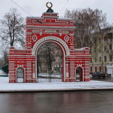
Red Gates
Russian Federation

Red Gates

4.4 mi
İske Taş Mosque
Russian Federation

İske Taş Mosque

4.6 mi
Kirovskaya Damba
Russian Federation

Kirovskaya Damba

4.3 mi
Pink Mosque
Russian Federation

Pink Mosque

4.8 mi
Krasnokokshayskaya street, Kazan
Russian Federation

Krasnokokshayskaya street, Kazan

4.6 mi
Räcäp  Mosque
Russian Federation

Räcäp Mosque

4.6 mi
Sveshnikov house
Russian Federation

Sveshnikov house

4.4 mi
Улица Павла Морозова
Russian Federation

Улица Павла Морозова

4.6 mi
Табейкина улица
Russian Federation

Табейкина улица

4.5 mi
Engels street, Kazan
Russian Federation

Engels street, Kazan

4.6 mi
Rafikov Mosque
Russian Federation

Rafikov Mosque

4.9 mi
Ramazan Mosque, Qazan
Russian Federation

Ramazan Mosque, Qazan

4.8 mi
Alafuzov Theater
Russian Federation

Alafuzov Theater

4.4 mi
Women gymnasium, Malo-Moskovskaya street
Russian Federation

Women gymnasium, Malo-Moskovskaya street

3.8 mi
Лукницки урамы, 5
Russian Federation

Лукницки урамы, 5

4.6 mi
Алафузов йорты
Russian Federation

Алафузов йорты

4.5 mi
Church of the Theotokos of Bogolyubovo
Russian Federation

Church of the Theotokos of Bogolyubovo

4.2 mi
Alafuzov factory building
Russian Federation

Alafuzov factory building

4.5 mi
Башлангыч укуханә бинасы
Russian Federation

Башлангыч укуханә бинасы

4.4 mi
Әфисәрләр җыелышы бинасы
Russian Federation

Әфисәрләр җыелышы бинасы

4.5 mi
Речная улица
Russian Federation

Речная улица

4.2 mi
Горбатый мост
Russian Federation

Горбатый мост

4.3 mi
Кече Мәскәү урамы, 30/13
Russian Federation

Кече Мәскәү урамы, 30/13

3.6 mi
Межевой переулок
Russian Federation

Межевой переулок

4.8 mi
Show the full map
Reviews
Share your experience

No review yet

Discussions
Start a discussion...

No discussion yet

« Verkhneuslonsky District - Municipal district in Tatarstan, Russia » is provided by Around Us (aroundus.com). Images and texts are derived from Wikimedia project under a Creative Commons license. You are allowed to copy, distribute, and modify copies of this page, under the conditions set by the license, as long as this note is clearly visible.

Discover hidden gems everywhere you go!

From secret cafés to breathtaking viewpoints, skip the crowded tourist spots and find places that match your style. Our app makes it easy with voice search, smart filtering, route optimization, and insider tips from travelers worldwide. Download now for the complete mobile experience.
Around Us App Screenshot
❝

A unique approach to discovering new places❞

— Le Figaro

❝

All the places worth exploring❞

— France Info

❝

A tailor-made excursion in just a few clicks❞

— 20 Minutes

Around Us
Travel Guide & Maps
Download

Send to your phone

QR Code
1

Open the camera app on your mobile.

2

Point at the QR code with your camera. A notification will appear.

3

Tap the notification to open the link.