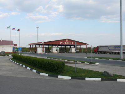
Russia–Ukraine border, International border between Russia and Ukraine.
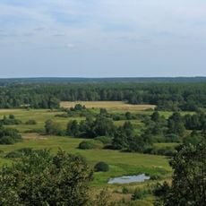
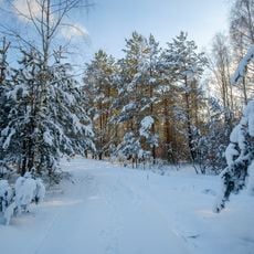
This border extends for 1,974 kilometers through five Russian oblasts and five Ukrainian oblasts, crossing woodland, flatlands, and river valleys. It follows portions of the Donets River and reaches the Sea of Azov near Taganrog Bay, marked by designated crossing points along its length.
The line was established in 1991 after the Soviet Union dissolved, separating two newly independent states on territory that had been part of a single republic. Earlier divisions between the territories existed in the 17th century under czarist rule before both became part of the same Soviet state.
Border communities maintain connections through shared languages, traditions, and family ties despite increasing political tensions between the nations.
Travelers must present biometric passports and undergo security checks at official crossing points, where delays are common. Advance notification of travel intentions to the relevant authorities can help smooth the process and reduce waiting time.
The border region contains numerous fortified positions and surveillance systems implemented through Project Wall, which began construction in 2015.
The community of curious travelers
AroundUs brings together thousands of curated places, local tips, and hidden gems, enriched daily by 60,000 contributors worldwide.