
Ust-Khayryuzovo, human settlement in Tigilsky District, Koryak Okrug, Russia
Location: Село Усть-Хайрюзово
Inception: 1925
GPS coordinates: 57.10139,156.75444
Latest update: March 8, 2025 08:48
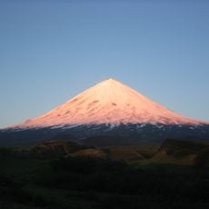
Klyuchevskaya Sopka
265.1 km
Shiveluch
284.6 km
Tolbachik
261.4 km
Kronotsky
351.4 km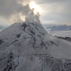
Bezymianny Volcano
267.1 km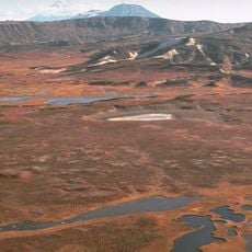
Uzon
349.5 km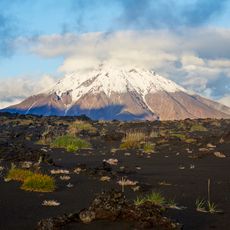
Udina
276.1 km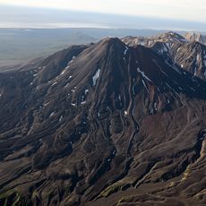
Kikhpinych
363.2 km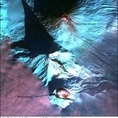
Kamen
264.7 km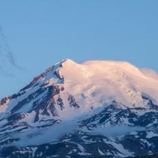
Ichinsky
169.2 km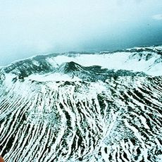
Krasheninnikov
355.1 km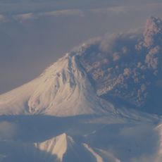
Kizimen
311.6 km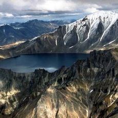
Khangar
263.8 km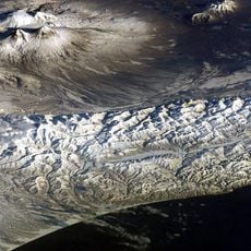
Ushkovsky
255.1 km
Klyuchevskoy nature park
267 km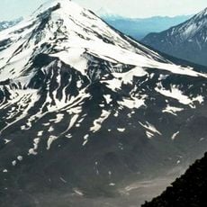
Zimin volcano
275.7 km
Dvuhyurtochnoe Lake
202.8 km
Taunshits
343.8 km
Uksichan
150.6 km
Kebeney
229.4 km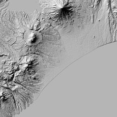
Gamchen
341.1 km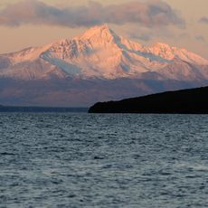
Унана
330.3 km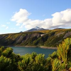
Калгнитунуп
190.4 km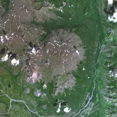
Maly Payalpan
161.7 km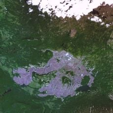
Terpuk
186.4 km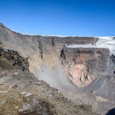
Plosky
238.2 km
Surveyors volcano
145.4 km
Klyuchevskoy natural park
257.9 kmReviews
Visited this place? Tap the stars to rate it and share your experience / photos with the community! Try now! You can cancel it anytime.
Discover hidden gems everywhere you go!
From secret cafés to breathtaking viewpoints, skip the crowded tourist spots and find places that match your style. Our app makes it easy with voice search, smart filtering, route optimization, and insider tips from travelers worldwide. Download now for the complete mobile experience.

A unique approach to discovering new places❞
— Le Figaro
All the places worth exploring❞
— France Info
A tailor-made excursion in just a few clicks❞
— 20 Minutes