
Timofejewo, human settlement in Krasnoznamensky District, Kaliningrad Oblast, Russia
Location: Krasnoznamensky District
Elevation above the sea: 29 m
GPS coordinates: 54.97972,22.29833
Latest update: April 10, 2025 13:35
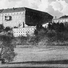
Ragnit Castle
18.4 km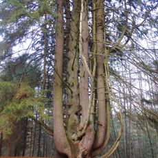
Witch spruce
17 km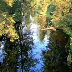
Viešvilė Reserve
18.7 km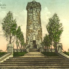
Bismarck tower, Garino
12.5 km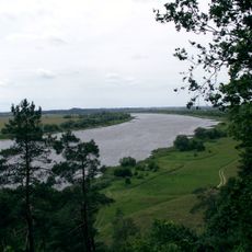
Rambynas Regional Park
17.9 km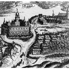
Evangelische Kirche Ragnit
18.4 km
Kirche Kraupischken
21.6 km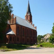
Kirche Lasdehnen
13 km
Budwethen Kirche
8.9 km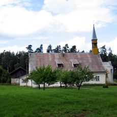
Church of the transfiguration of Jesus Christ, Viešvilė
12.6 km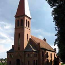
Evangelical Lutheran Church, Vilkyškiai
18.7 km
Evangelical Lutheran Church in Viešvilė
11.5 km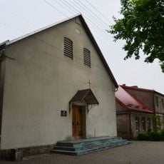
Evangelical Lutheran Church in Smalininkai
20.7 km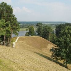
Burgaičių piliakalniai
22.9 km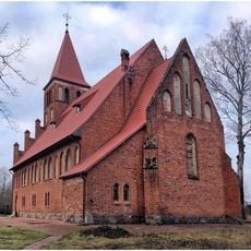
Kirche Wedereitischken
233 m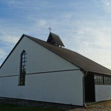
Evangelical Lutheran Church in Sudargas
22.9 km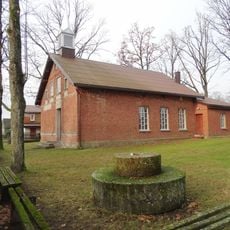
Church of St. Joseph, Smalininkai
20.4 km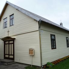
Church of St. John the Baptist, Sudargas
23.1 km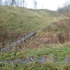
Opstainių I piliakalnis
17.4 km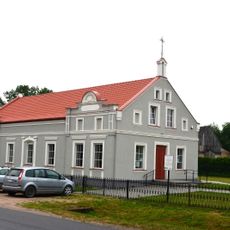
Church of St. Anne, Vilkyškiai
18.7 km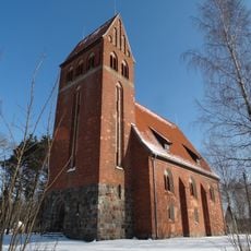
Evangelical Lutheran Church in Žukai
15.2 km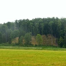
Šereitlaukio I piliakalnis
13.4 km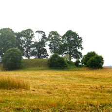
Šereitlaukio II piliakalnis
14.2 km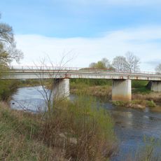
Mociškiai bridge
16.3 km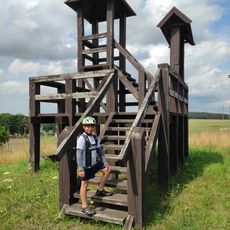
Rozhledna v Bardėnai
23.4 km
Saints Peter and Paul Orthodox church in Krasnoznamensk
13 km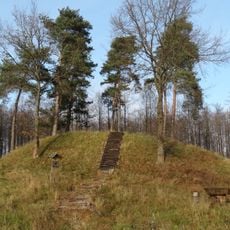
Opstainys 2nd hillfort
16.2 km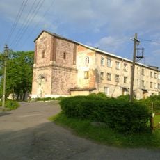
Кирха (Неман)
18.4 kmReviews
Visited this place? Tap the stars to rate it and share your experience / photos with the community! Try now! You can cancel it anytime.
Discover hidden gems everywhere you go!
From secret cafés to breathtaking viewpoints, skip the crowded tourist spots and find places that match your style. Our app makes it easy with voice search, smart filtering, route optimization, and insider tips from travelers worldwide. Download now for the complete mobile experience.

A unique approach to discovering new places❞
— Le Figaro
All the places worth exploring❞
— France Info
A tailor-made excursion in just a few clicks❞
— 20 Minutes