Enable Location

We need your location to show you interesting places around you

Discover nearby places

Find interesting locations and hidden gems around you

Precise directions

Get accurate directions and distances to places

Your location is never shared with other users. It's only used when you tap the location button.

Rambynas Regional Park

Log in to your account

Start exploring — it's free

Trusted by 62,936 travelers worldwide

Continue with Google
Continue with Apple
or

We will send you a code to connect

By continuing, you accept our Terms and Conditions and our Privacy Policy

Check your inbox

We've sent a pincode in your inbox. Please enter the code below.

Rambynas Regional Park
Discussion Reviews 1 Photos
2k Popularity

Rambynas Regional Park, Regional park in Pagėgiai Municipality, Lithuania

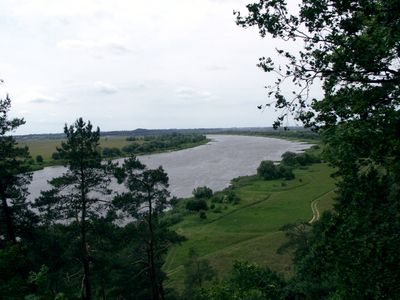
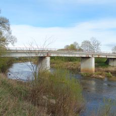
Rambynas Regional Park spreads across about 4,800 hectares along the Nemunas River and combines forests, wetlands, meadows, and natural lakes in western Lithuania. The protected area is divided into eight zones that safeguard different landscapes and ecosystems.

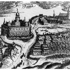
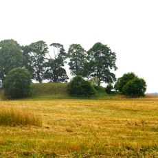
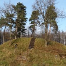
The protected area was established in 1992 and preserves traces of ancient settlements from Baltic tribes in prehistoric times. Rambynas hill is mentioned in documents from the 14th century and was an important location in the region.

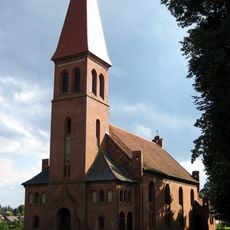
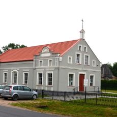
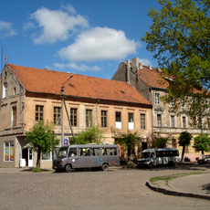
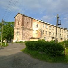
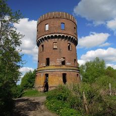
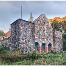
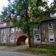
The park contains the Martynas Jankus Museum and traditional Lithuanian villages where you can see local architecture and daily practices that have been maintained over time. Visitors encounter how communities here keep their crafts and customs alive in the landscape.

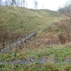
The park offers hiking trails, bird watching, and fishing spots with designated areas for different activities. Visitors should prepare for natural conditions and bring appropriate gear for the season.

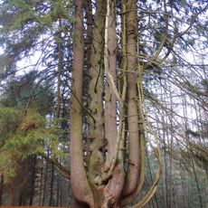
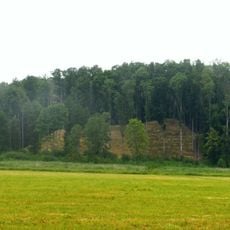
A remarkable spruce in the Vilkyškiai forest stands out for its exceptional size and is protected as a natural monument in the park. Such trees with unusual dimensions serve as witnesses to the ancient forests that once covered the area.

The community of curious travelers

AroundUs brings together thousands of curated places, local tips, and hidden gems, enriched daily by 60,000 contributors worldwide.

Start exploring
GPS coordinates
55.08333,22.08333
Latest update
December 14, 2025 11:05
Around this place
Ragnit Castle
Russian Federation

Ragnit Castle

6 km
Schloss Tilsit
Lithuania

Schloss Tilsit

11.2 km
Witch spruce
Lithuania

Witch spruce

4.5 km
German Church
Russian Federation

German Church

11.5 km
Bismarck tower, Garino
Russian Federation

Bismarck tower, Garino

7.3 km
Litauische Kirche
Russian Federation

Litauische Kirche

11.7 km
Վաճառականների ընկերության պահեստներ
Russian Federation

Վաճառականների ընկերության պահեստներ

11.5 km
Evangelische Kirche Ragnit
Russian Federation

Evangelische Kirche Ragnit

6.4 km
Evangelical Lutheran Church, Vilkyškiai
Lithuania

Evangelical Lutheran Church, Vilkyškiai

4.7 km
Opstainių I piliakalnis
Lithuania

Opstainių I piliakalnis

3.3 km
Church of St. Anne, Vilkyškiai
Lithuania

Church of St. Anne, Vilkyškiai

5.2 km
Lithuania

Gilandžių piliakalnis

9.9 km
Здание школы для мальчиков им. герцога Альбрехта (Советск)
Russian Federation

Здание школы для мальчиков им. герцога Альбрехта (Советск)

11.6 km
Šereitlaukio I piliakalnis
Lithuania

Šereitlaukio I piliakalnis

5.1 km
Šereitlaukio II piliakalnis
Lithuania

Šereitlaukio II piliakalnis

4 km
Mociškiai bridge
Lithuania

Mociškiai bridge

6.3 km
Rozhledna v Bardėnai
Lithuania

Rozhledna v Bardėnai

5.5 km
Жилой дом (Советск)
Russian Federation

Жилой дом (Советск)

11.6 km
Local history museum, Sovetsk
Russian Federation

Local history museum, Sovetsk

11.7 km
Жилой дом (Советск)
Russian Federation

Жилой дом (Советск)

11.6 km
Дом, в котором жил поэт Макс фон Шенкендорф (Советск)
Russian Federation

Дом, в котором жил поэт Макс фон Шенкендорф (Советск)

11.6 km
Opstainys 2nd hillfort
Lithuania

Opstainys 2nd hillfort

2.7 km
Кирха (Неман)
Russian Federation

Кирха (Неман)

6.4 km
Water tower (Timiryazeva street), Sovetsk
Russian Federation

Water tower (Timiryazeva street), Sovetsk

10.2 km
Gastello Street 21, Sovetsk
Russian Federation

Gastello Street 21, Sovetsk

11.5 km
Кирха меннонитов (Неман)
Russian Federation

Кирха меннонитов (Неман)

5.9 km
Здание женской школы им. Королевы Луизы (Советск)
Russian Federation

Здание женской школы им. Королевы Луизы (Советск)

11.7 km
Жилой дом (Советск)
Russian Federation

Жилой дом (Советск)

11.4 km
Show the full map
Reviews
Share your experience

No review yet

Discussions
Start a discussion...

No discussion yet

« Rambynas Regional Park - Regional park in Pagėgiai Municipality, Lithuania » is provided by Around Us (aroundus.com). Images and texts are derived from Wikimedia project under a Creative Commons license. You are allowed to copy, distribute, and modify copies of this page, under the conditions set by the license, as long as this note is clearly visible.

Discover hidden gems everywhere you go!

From secret cafés to breathtaking viewpoints, skip the crowded tourist spots and find places that match your style. Our app makes it easy with voice search, smart filtering, route optimization, and insider tips from travelers worldwide. Download now for the complete mobile experience.

Around Us App Screenshot

A unique approach to discovering new places

Le Figaro

All the places worth exploring

France Info

A tailor-made excursion in just a few clicks

20 Minutes

Around Us
Travel Guide & Maps
Download

Send to your phone

QR Code
1

Open the camera app on your mobile.

2

Point at the QR code with your camera. A notification will appear.

3

Tap the notification to open the link.