
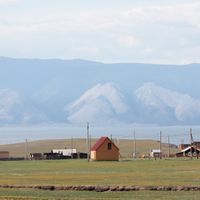
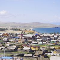
Хужирское муниципальное образование, human settlement in Olkhonsky District, Irkutsk Oblast, Russia
Location: Olkhonsky District
Capital city: Khuzhir, Irkutsk Oblast
GPS coordinates: 53.19000,107.33417
Latest update: March 26, 2025 11:19
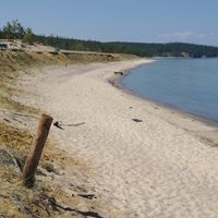
Lake Baikal
46.4 km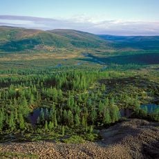
Baikal-Lena nature reserve
121.1 km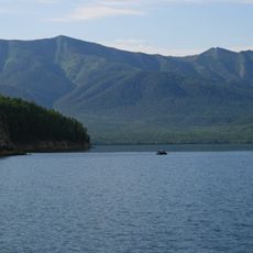
Zabaykalsky
137.9 km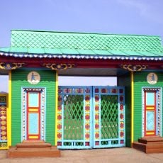
Ulan-Ude Ethnographic Museum
146.7 km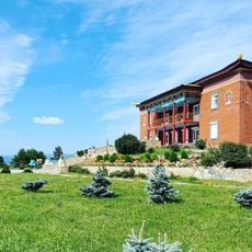
Дацан Ринпоче Багша
148.5 km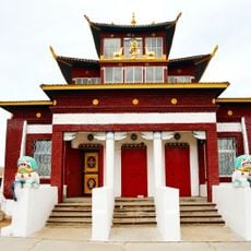
At͡sagatskiĭ dat͡san
146.3 km
Vostochny
149.4 km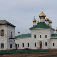
Selenginsky Monastery
119.6 km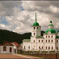
Sretensky Convent
101.6 km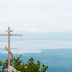
Arangatuy
122.9 km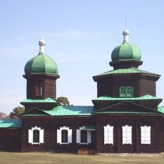
Saint Nicholas Church
146.8 km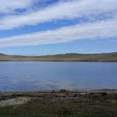
Hanhoi
11.8 km
Fofanovski akropol
133.6 km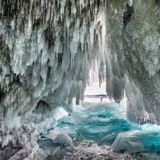
Ice cave on Olkhon island
11.3 km
Svetlaya Polyana
95.3 km
Спасская церковь (Турунтаево)
112.1 km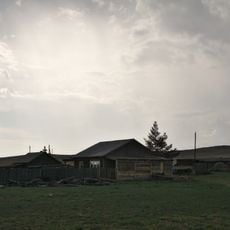
Улан-Нур
54.3 km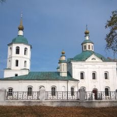
Annunciation Church, Kudara
116.4 km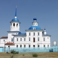
Богородско-Казанская церковь (Творогово)
127 km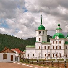
Сретенская церковь
101.6 km
Lesovozny
119.8 km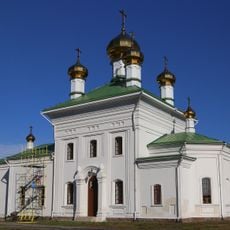
Церковь святителя Николая (Троицкое)
119.6 km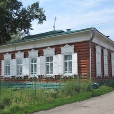
Eidelman House
134.8 km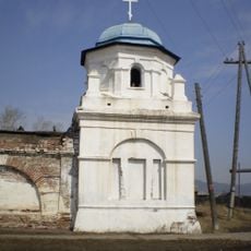
Восточная башня (Троицкое)
119.7 km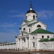
Надвратная церковь Архангела Михаила (Троицкое)
119.7 km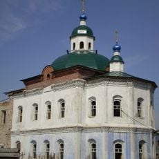
Церковь Богоявления (Ильинка)
118.9 km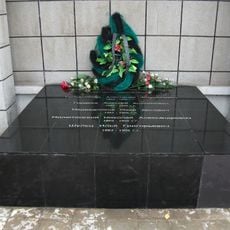
Братская могила 5 руководителей революционных выступлений трудящихся Верхнеудинска в 1905-1906 гг. (Улан-Удэ)
150 km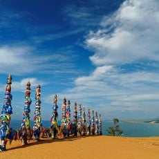
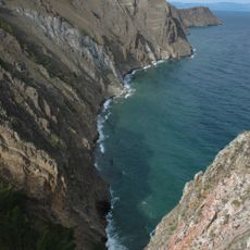
Cape Burkhan
1.6 kmVisited this place? Tap the stars to rate it and share your experience / photos with the community! Try now! You can cancel it anytime.
Discover hidden gems everywhere you go!
From secret cafés to breathtaking viewpoints, skip the crowded tourist spots and find places that match your style. Our app makes it easy with voice search, smart filtering, route optimization, and insider tips from travelers worldwide. Download now for the complete mobile experience.

A unique approach to discovering new places❞
— Le Figaro
All the places worth exploring❞
— France Info
A tailor-made excursion in just a few clicks❞
— 20 Minutes