
Klinte, settlement in Gotland Municipality, Sweden
Location: Gotland Municipality
Location: Gotland
Location: Klinte District
GPS coordinates: 57.37861,18.23167
Latest update: March 3, 2025 00:53
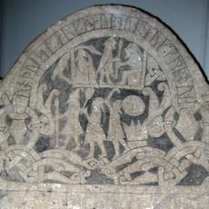
Gotland Runic Inscription 181
5.7 km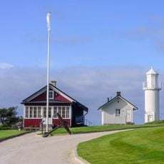
Skansudde lighthouse
9.7 km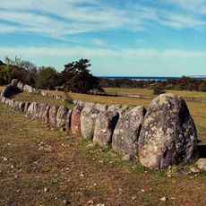
Gannarve stone ship
4.2 km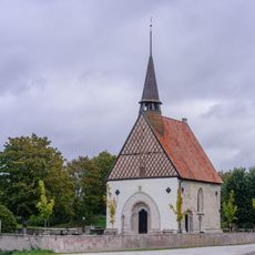
Västergarn Church
8.5 km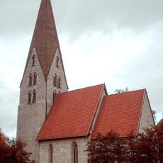
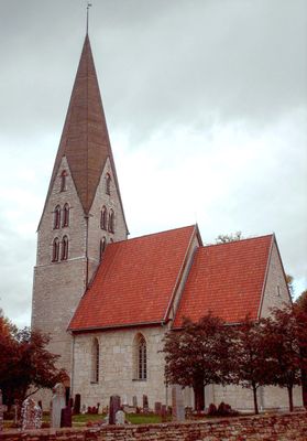
Klinte church
40 m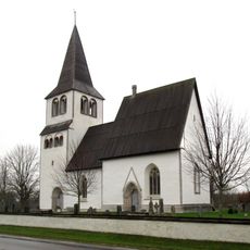
Hejde Church
7.8 km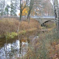
Ajmunds bridge
7.8 km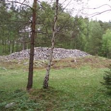
Rannarve grave field
2 km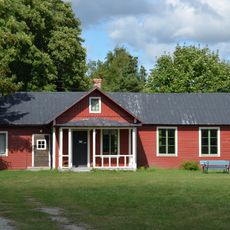
Gullin museum
6 km
Vivesholm
4.1 km
Mulde
3.6 km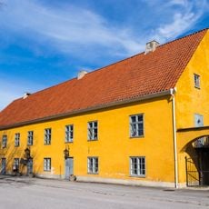
Donnerska huset, Klintehamn
2.1 km
Helges hage
8.2 km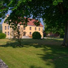
Sanda prästgårdsmiljö
5.6 km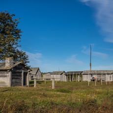
Kovik Fishing Museum and Chapel
5.4 km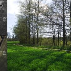
Oak Häglajvs 1:11
4.9 km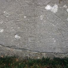
Gotlands runinskrifter 192
8.5 km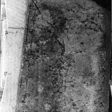
G 161, Fröjels kyrka
5.4 km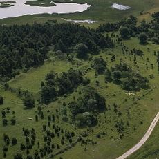
Sanda 122:1
4.1 km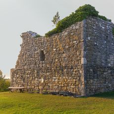
Fröjel 11:1
5.4 km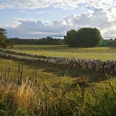
Fröjel 9:2
4.1 km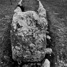
Fröjel 9:1
4.2 km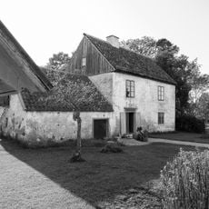
Robbjäns
674 m
Fröjel 40:1
5.5 km
Vallhagar
4.5 km
Petarve vattensåg och sågtorpet
6.4 km
Västergarn 25:1
8.5 km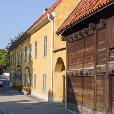
Donnerska huset i Klinte
2.1 kmReviews
Visited this place? Tap the stars to rate it and share your experience / photos with the community! Try now! You can cancel it anytime.
Discover hidden gems everywhere you go!
From secret cafés to breathtaking viewpoints, skip the crowded tourist spots and find places that match your style. Our app makes it easy with voice search, smart filtering, route optimization, and insider tips from travelers worldwide. Download now for the complete mobile experience.

A unique approach to discovering new places❞
— Le Figaro
All the places worth exploring❞
— France Info
A tailor-made excursion in just a few clicks❞
— 20 Minutes