
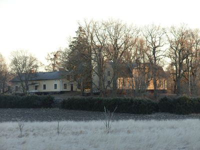
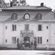
Långbro gård, building in Södertälje Municipality, Stockholm County, Sweden
Location: Södertälje Municipality
GPS coordinates: 59.04528,17.39792
Latest update: March 6, 2025 03:06
Bommersvik
9.9 km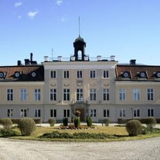
Södertuna Castle
5.9 km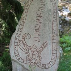
Skåäng Runestone
9.2 km
Sillen
7.4 km
Norrtuna slott
8.3 km
Mälby, Gnesta
5.4 km
Visbohammar
4.1 km
Frösjön
4.8 km
Hjortsberga
2.3 km
Södermanland Runic Inscription 16
7.1 km
Vattgruvsmossens naturreservat
5.4 km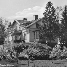
Edesta, Mölnbo
5.1 km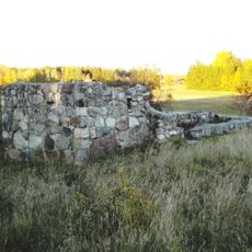
Överhölö kyrkoruin
8.3 km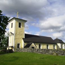
Torsåkers kyrka, Södermanland
9.7 km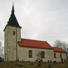
Kattnäs Church
7 km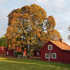
Frustuna
5.5 km
Stora Alsjön
5.8 km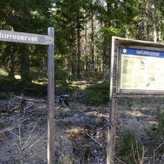
Stora Envätterns naturreservat
8.4 km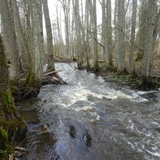
Moraåns dalgång
10.4 km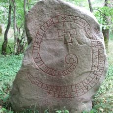
Södermanlands runinskrifter 33
9.7 km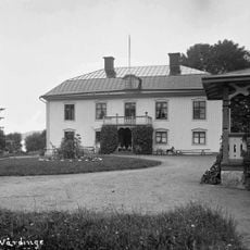
Näsby herrgård
4.6 km
Borg vid Sillen
3.8 km
Grottberget
6.5 km
Ekeby
7.6 km
Södermanlands runinskrifter 19
8.1 km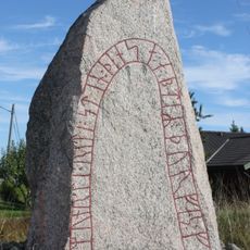
Södermanlands runinskrifter 20
9 km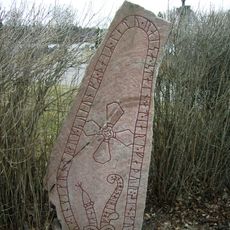
Södermanlands runinskrifter 10
5.4 km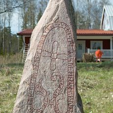
Södermanlands runinskrifter 37
8.5 kmReviews
Visited this place? Tap the stars to rate it and share your experience / photos with the community! Try now! You can cancel it anytime.
Discover hidden gems everywhere you go!
From secret cafés to breathtaking viewpoints, skip the crowded tourist spots and find places that match your style. Our app makes it easy with voice search, smart filtering, route optimization, and insider tips from travelers worldwide. Download now for the complete mobile experience.

A unique approach to discovering new places❞
— Le Figaro
All the places worth exploring❞
— France Info
A tailor-made excursion in just a few clicks❞
— 20 Minutes