
Municipality of Logatec, municipality of Slovenia
Location: Slovenia
Elevation above the sea: 480 m
Shares border with: Municipality of Vrhnika
Website: http://logatec.si/vsebina
GPS coordinates: 45.91667,14.23333
Latest update: March 4, 2025 22:10
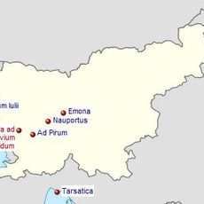
Claustra Alpium Iuliarum
11.1 km
Ad Pirum
11.1 km
Stampetta Bridge
4.3 km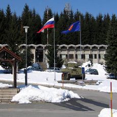
26 October Barracks
7.7 km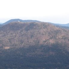
Ljubljanski vrh
5.3 km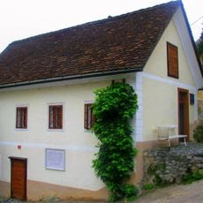
Ivan Cankar memorial house
7.4 km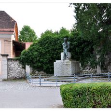
Cankar Monument
7.5 km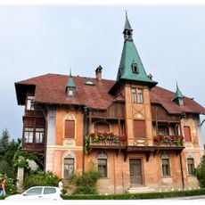
Kunstle Villa
7.2 km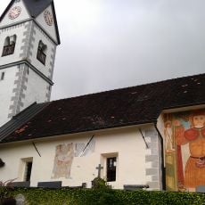
St. Cantianus's Church
12 km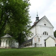
Holy Trinity Church, Vrhnika
7.4 km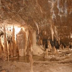
NewFound Cave
4.6 km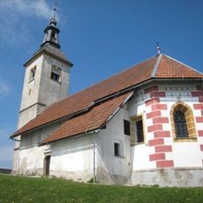
Sts. Hermagoras and Fortunatus Church
14.1 km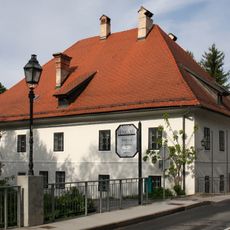
Lavrenčič house
7.5 km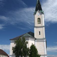
Conversion of Paul the Apostle church
6.6 km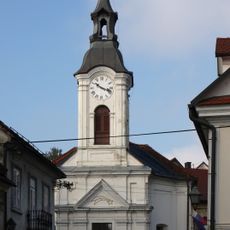
St. Leonard's Church in Vrhnika
7.4 km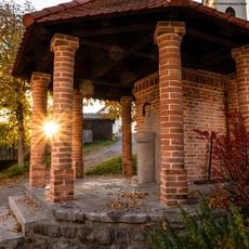
Tollazzi well
621 m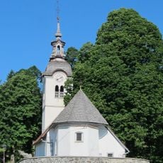
Assumption of Mary Church
11.2 km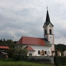
St. Anthony the Great Church in Verd
6.7 km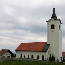
St. Catherine of Alexandria Church
9.4 km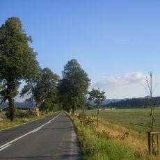
Napoleon Avenue
1.4 km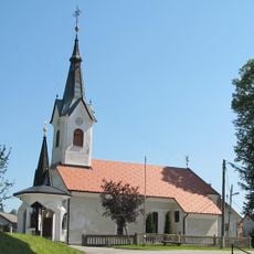
Cerkev sv. Jošta, Šentjošt nad Horjulom
12.8 km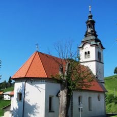
Cerkev sv. Janeza Evangelista, Šentjošt nad Horjulom
12.8 km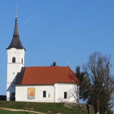
St. John the Evangelist church
2.8 km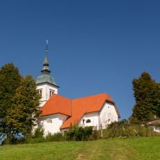
St. Barbara's Church
5.9 km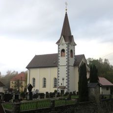
St. Ulrich's Parish Church
6 km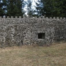
Obrambni stolp Lanišče
6.3 km
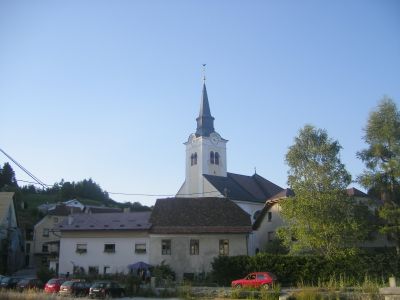
Holy Cross Church
2.3 km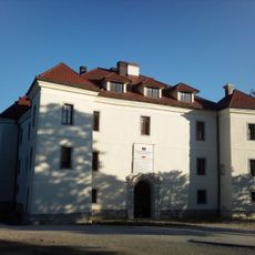
Logatec Castle
2.2 kmVisited this place? Tap the stars to rate it and share your experience / photos with the community! Try now! You can cancel it anytime.
Discover hidden gems everywhere you go!
From secret cafés to breathtaking viewpoints, skip the crowded tourist spots and find places that match your style. Our app makes it easy with voice search, smart filtering, route optimization, and insider tips from travelers worldwide. Download now for the complete mobile experience.

A unique approach to discovering new places❞
— Le Figaro
All the places worth exploring❞
— France Info
A tailor-made excursion in just a few clicks❞
— 20 Minutes