
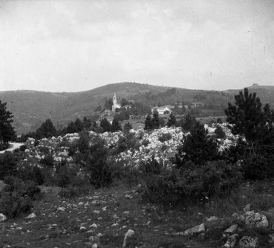
Slivje, human settlement
Location: Municipality of Hrpelje-Kozina
Elevation above the sea: 583.9 m
GPS coordinates: 45.57160,14.04739
Latest update: June 16, 2025 19:16
Škocjan Caves
11.2 km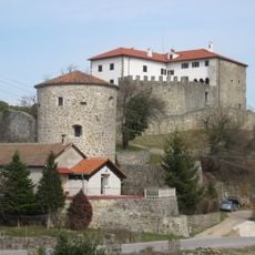
Prem Castle
11.4 km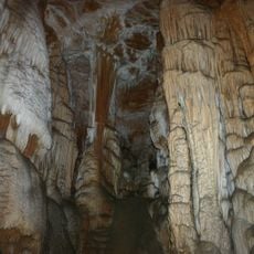
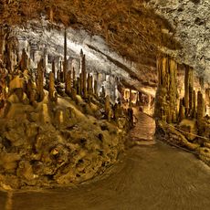
Dimnice
1.1 km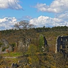
Školj Castle
10.4 km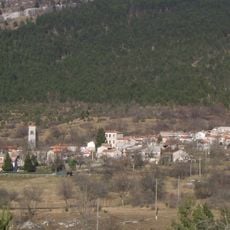
Vodice
9.8 km
Povžane
3.3 km
Jelovice, Lanišće
8.9 km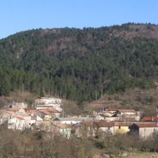
Dane, Lanišće
11.1 km
Javorje
4.6 km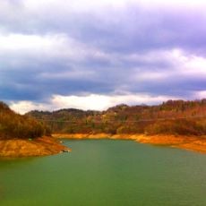
Lake Klivnik
9.1 km
Herrensitz Odolina
2.8 km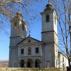
Assumption of Mary Parish Church
8.6 km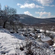
St. Sabbas' Parish Church
8.9 km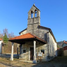
St. Thomas's Church
10.2 km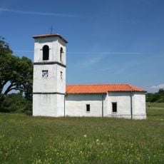
Cerkev sv. Boštjana, Petrinje
11.1 km
Holy Trinity Parish Church
7.8 km
St. Stephen's Parish Church
4.7 km
St. Servulus's Church in Artviže
5 km
St. Mary Magdalene's Church
11.5 km
Cerkev sv. Nikolaja, Golac
6.3 km
Cerkev sv. Kancijana, Škocjan (Občina Divača)
11.3 km
New Castle Podgrad
9.7 km
St. John the Evangelist's Church
4.7 km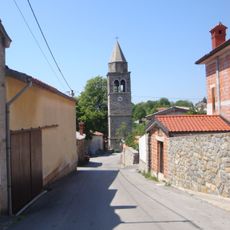
St. Gertrude's Church
8.5 km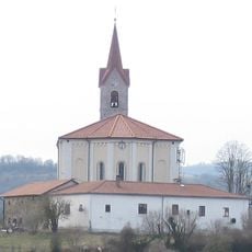
St. Helena Parish Church
11 km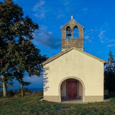
Cerkev sv. Trojice, Gabrk
5.5 km
St. James's Church
6.6 km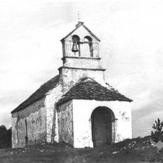
Cerkev sv. Križa, Slope
6.3 kmReviews
Visited this place? Tap the stars to rate it and share your experience / photos with the community! Try now! You can cancel it anytime.
Discover hidden gems everywhere you go!
From secret cafés to breathtaking viewpoints, skip the crowded tourist spots and find places that match your style. Our app makes it easy with voice search, smart filtering, route optimization, and insider tips from travelers worldwide. Download now for the complete mobile experience.

A unique approach to discovering new places❞
— Le Figaro
All the places worth exploring❞
— France Info
A tailor-made excursion in just a few clicks❞
— 20 Minutes