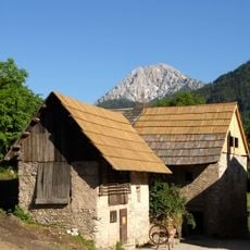
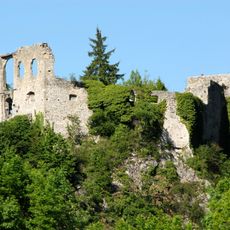
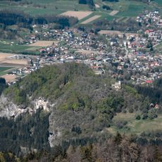
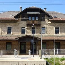
Mallestiger Mittagskogel, Mountain peak in Karawanks range, Austria and Slovenia
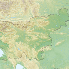
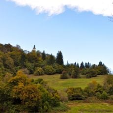
Mallestiger Mittagskogel is a mountain peak in the Karawanks range that stands at 1,823 meters (5,980 feet) along the border between Austria and Slovenia. The summit features rough rock formations and far-reaching views across both countries and the surrounding Alpine landscape.
The summit carries border stone XXVIII 1 on the 1,823 m ridge, while the 1,801 m peak recorded on Austrian maps lies about 200 m northwest in the municipality of Finkenstein. The name comes from the old village of Mallestig, now part of Finkenstein, and the Slovenian name Maloško Poldne likewise means 'midday mountain'. The main ridge here is built of Schlern dolomite, giving the crest jagged pinnacles.
The name comes from the old village of Mallestig, now part of Finkenstein; the Slovenian name Maloško poldne and the German Mittagskogel both mean "midday mountain", as the peak marks noon for the valleys below. The 1,801 m summit on the Austrian map is also called Ojstra peč.
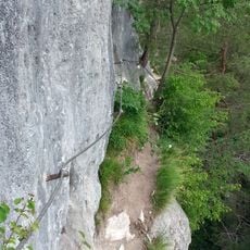
The ascent from Gasthof Baumgartner follows trail 683 to a mountain hut at 1,639 meters (5,380 feet) and takes roughly 4 to 5 hours for the round trip. The paths are marked, though the climb is steep and demands decent physical fitness.
The main ridge from the nearby Techantinger and Mallestiger Mittagskogel to the Schwarzkogel is built of Schlerndolomit, giving this section jagged pinnacles reminiscent of the Dolomites. The 1,801 m summit recorded on Austrian maps lies about 200 m northwest of the border, which runs over a higher point marked only as elevation 1823, with boundary stone XXVIII 1.
The community of curious travelers
AroundUs brings together thousands of curated places, local tips, and hidden gems, enriched daily by 94,294 contributors worldwide.