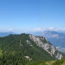
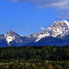
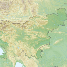
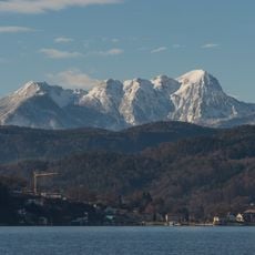
Mittagskogel / Kepa, Mountain summit in Finkenstein am Faaker See and Kranjska Gora, Austria and Slovenia.
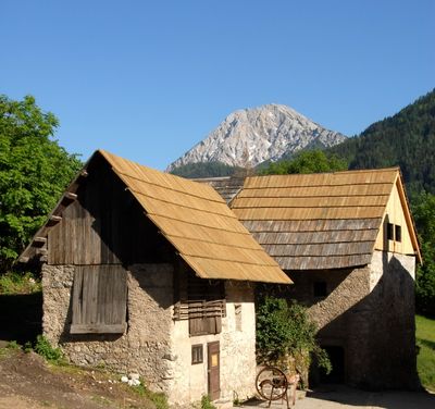
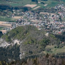
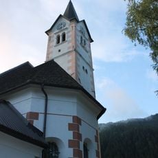
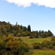
Mittagskogel is a 2145-meter summit that marks the border between Austria and Slovenia in the eastern Julian Alps. The mountain can be accessed from both the Austrian and Slovenian sides, with established routes connecting nearby communities to the peak.
The mountain became an international border following the end of the Austro-Hungarian Empire in 1920. This boundary designation continues to define the Alpine border between the two nations today.
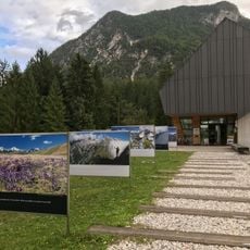
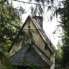
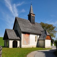
Local mountain guides from both Austrian and Slovenian communities share their knowledge of alpine flora and mountain safety with visitors throughout the year.
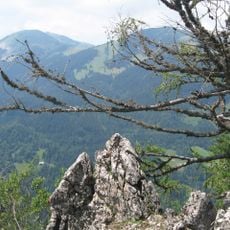
The summit is reachable from both sides, with marked trails requiring about four hours of uphill walking. The routes start from nearby villages on each side and are suitable for experienced hikers.
The northern face displays dramatic limestone cliffs while the southern slopes consist of dolomite rock. These contrasting geological formations are visible throughout the climb and create distinct visual impressions from each approach.
Location: Finkenstein am Faaker See
Location: Municipality of Kranjska Gora
Elevation above the sea: 2,145 m
GPS coordinates: 46.50736,13.95252
Latest update: December 10, 2025 15:55
Karawanks Tunnel
5.5 km
Karawanks Tunnel
5.8 km
Burgruine Finkenstein
5.8 km
Mallestiger Mittagskogel
5.8 km
Kanzianiberg
7.7 km
Techantinger Mittagskogel
7.1 km
Ferlacher Spitze
1.8 km
Slovenian Alpine Museum
5.6 km
Station building of Faak am See train station
7.1 km
Filialkirche St. Christoph am Hum
7.1 km
Visoki Kurji vrh
5.1 km
Rosenkogel
5 km
Filialkirche hl. Ursula, Schlatten (St. Jakob i. R.)
7.5 km
Kath. Filialkirche Christkönig, hl. Franz-Xaver
7.2 km
Filialkirche hl. Dreifaltigkeit, Pogöriach
6.3 km
Filialkirche St. Gregor, Unterferlach
6.2 km
Kath. Filialkirche Hl. 3 Könige
4.5 km
Filialkirche Kanzianiberg, Finkenstein am Faaker See
7.5 km
Pfarrkirche hl. Martin, Petschnitzen (Finkenstein)
7.4 km
Höhensiedlung Kanzianiberg
7.6 km
Tunnelportal
5.8 km
Saint Michael Parish Church
4.5 km
Badeanlage Inselbad
7.8 km
Hügelgräberfeld Kanzianiberg
7.2 km
Bärenkogel
1.8 km
Kreuzweg
7.4 km
Zollwachwohngebäude
7.2 km
Zollwachwohngebäude
7.2 kmVisited this place? Tap the stars to rate it and share your experience / photos with the community! Try now! You can cancel it anytime.
Discover hidden gems everywhere you go!
From secret cafés to breathtaking viewpoints, skip the crowded tourist spots and find places that match your style. Our app makes it easy with voice search, smart filtering, route optimization, and insider tips from travelers worldwide. Download now for the complete mobile experience.
A unique approach to discovering new places❞
— Le Figaro
All the places worth exploring❞
— France Info
A tailor-made excursion in just a few clicks❞
— 20 Minutes