
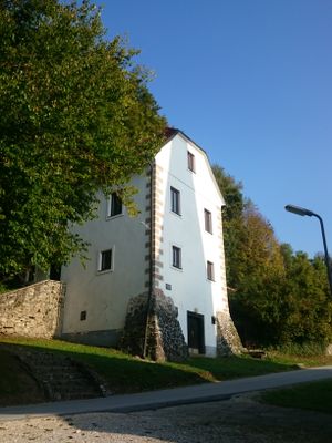
Old school, building in Municipality of Podčetrtek, Slovenia
Location: Municipality of Podčetrtek
GPS coordinates: 46.15786,15.59381
Latest update: March 3, 2025 02:51
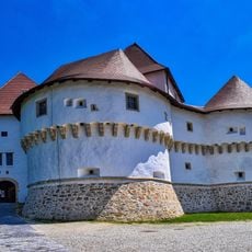
Veliki Tabor Castle
4.4 km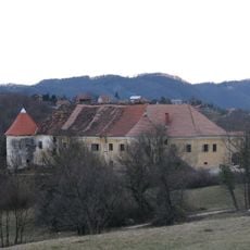
Mali Tabor
8.6 km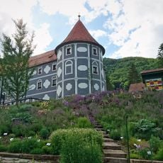
Olimje Castle
2.5 km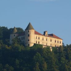
Podčetrtek Castle
183 m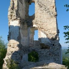
Žusem Castle
8.2 km
Vinagora
8.1 km
Koča pri Čarovnici
3 km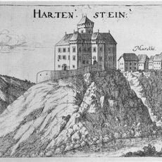
Hartenštajn Castle
8.4 km
Hum Košnički
3.3 km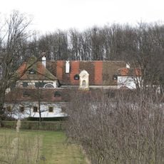
Miljana
4 km
Pušća
5.6 km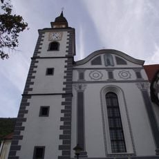
Assumption of Mary Parish Church
2.5 km
Cerkev sv. Ane, Spodnje Tinsko
4.2 km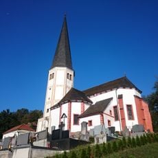
Mother of God Church
1.5 km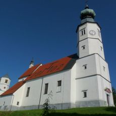
Mother of God Church
4.2 km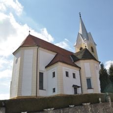
St. Hemma of Gurk Parish Church
2.9 km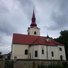
Saint Michael Parish Church
8.5 km
St. Lawrence's Parish Church
32 m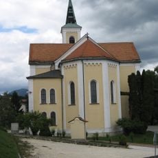
Holy Cross Parish Church
8.3 km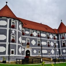
Olimje Castle
2.5 km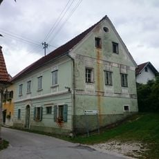
Hiša Pilštanj 5 in 6
8.4 km
St. Bartholomew's Parish Church
4.8 km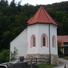
Cerkev sv. Andreja, Olimje
3 km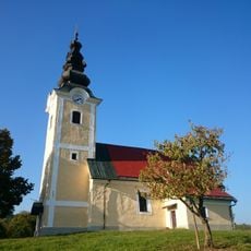
Cerkev sv. Filipa in Jakoba, Sela
3.4 km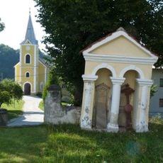
Cerkev sv. Valentina, Dobrina
8.5 km
Holy Trinity Church
7.7 km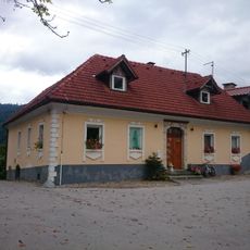
Hiša Pilštanj 17
8.4 km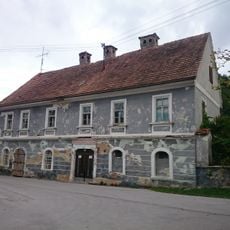
Hiša Pilštanj 14
8.4 kmReviews
Visited this place? Tap the stars to rate it and share your experience / photos with the community! Try now! You can cancel it anytime.
Discover hidden gems everywhere you go!
From secret cafés to breathtaking viewpoints, skip the crowded tourist spots and find places that match your style. Our app makes it easy with voice search, smart filtering, route optimization, and insider tips from travelers worldwide. Download now for the complete mobile experience.

A unique approach to discovering new places❞
— Le Figaro
All the places worth exploring❞
— France Info
A tailor-made excursion in just a few clicks❞
— 20 Minutes