
Znamenje pri hiši Logje 59, znamenje v Občini Kobarid
Location: Kobarid Municipality
GPS coordinates: 46.23295,13.43534
Latest update: March 3, 2025 01:24
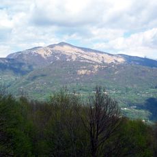
Matajur
7.6 km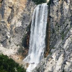
Boka
10.5 km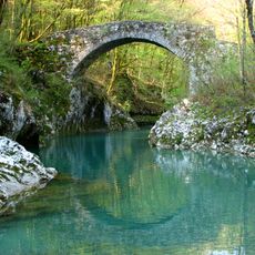
Napoleon Bridge
533 m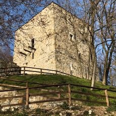
Castello Partistagno
10.6 km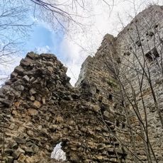
Castello Inferiore
10.5 km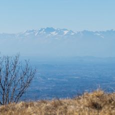
Monte Ioànaz
5.1 km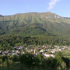
Stol (Julian Alps)
5.3 km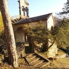
Chiesa di Santa Maria Maddalena
10.6 km
Chiesa della Santissima Trinità
9.2 km
Santa Maria Maddalena in Rupis church
8.4 km
Chiesa dei Santi Giovanni Battista e Lucia
8.7 km
Santi Ermacora e Fortunato
10.9 km
Chiesa di San Michele Arcangelo
10.4 km
San Mattia Apostolo
7.4 km
San Floriano
8.4 km
Hlek
7.2 km
Santi Pietro e Lorenzo
9 km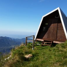
Bivak pod Muzcem
6.3 km
Castle of Cucagna
10.6 km
Sts. Primus and Felician Church
174 m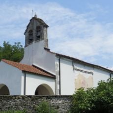
Cerkev sv. Treh kraljev, Sužid
9.1 km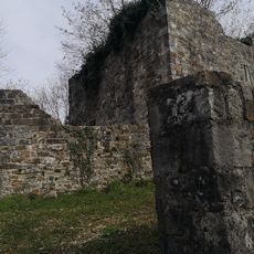
Castello Superiore
10.5 km
Sužiška planina
7.6 km
St. Andrew's Church
10.1 km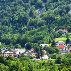
St. Mary of Help Church
9.7 km
Slap Boka
10.5 km
Cerkev sv. Florijana, Srpenica
8.2 km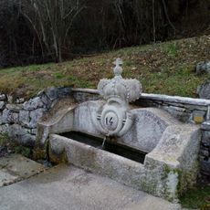
Fonte Cognar
10.3 kmReviews
Visited this place? Tap the stars to rate it and share your experience / photos with the community! Try now! You can cancel it anytime.
Discover hidden gems everywhere you go!
From secret cafés to breathtaking viewpoints, skip the crowded tourist spots and find places that match your style. Our app makes it easy with voice search, smart filtering, route optimization, and insider tips from travelers worldwide. Download now for the complete mobile experience.

A unique approach to discovering new places❞
— Le Figaro
All the places worth exploring❞
— France Info
A tailor-made excursion in just a few clicks❞
— 20 Minutes