Monte Ioànaz, Mountain summit in Friuli Venezia Giulia, Italy
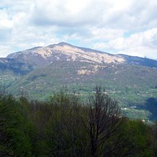
Monte Ioànaz is a mountain summit in Friuli Venezia Giulia that rises to 1,167 meters (3,829 ft) with steep slopes and grass-covered ridges. The peak dominates the surrounding landscape with its exposed terrain and clear visibility from many directions.
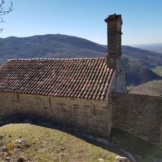
The mountain belongs to the Mia-Joanaz chain, which with Monte Craguenza (949 m) forms an amphitheatre of the Julian Prealps enclosing Masarolis, Tamoris and Reant to the south. A dirt road of military origin, closed to motor vehicles, runs along the ridge just west of the crest. The summit is a broad grassy plateau reached by a gentle climb from a saddle at about 950 m, where the road passes and the rifugio of the same name stands.
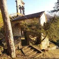
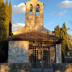
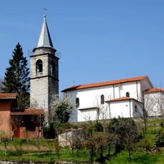
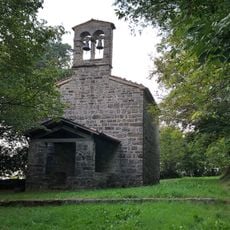
The mountain's name appears as Joanaz in Italian, Joanas in Friulian, Ivanac in Slovene and Juanis in Friulian usage; the ridge is grassy and mostly treeless, and a chapel stands at the Bocchetta di sant'Antonio (788 m) on the road between Canebola and Masarolis. The villages of Masarolis, Tamoris, Reant, Montefosca and Canebola sit at its foot.
A dirt road of military origin runs along the ridge just west of the crest and is closed to motor vehicles. The climb starts from a saddle at about 950 m, where the road passes and the rifugio of the same name stands, and rises gently north to the grassy summit plateau. The ridge is about 2 km long.
The summit's wide visibility over the Friulian plain led to the installation of repeater bridges for the VHF and UHF amateur radio bands. A dirt road of military origin runs along the ridge just west of the crest, closed to motor vehicles.
The community of curious travelers
AroundUs brings together thousands of curated places, local tips, and hidden gems, enriched daily by 93,009 contributors worldwide.