Enable Location

We need your location to show you interesting places around you

Discover nearby places

Find interesting locations and hidden gems around you

Precise directions

Get accurate directions and distances to places

Your location is never shared with other users. It's only used when you tap the location button.

Liptovský Mikuláš

Log in to your account

Start exploring — it's free

Trusted by 63,422 travelers worldwide

Continue with Google
Continue with Apple
or

We will send you a code to connect

By continuing, you accept our Terms and Conditions and our Privacy Policy

Check your inbox

We've sent a pincode in your inbox. Please enter the code below.

Discussion Reviews 3 Photos
27.7k Popularity

Liptovský Mikuláš, Administrative center in Žilina Region, Slovakia.

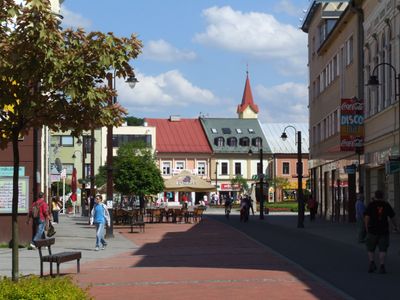
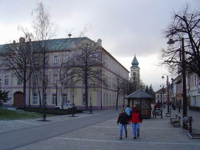
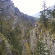
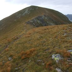
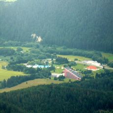
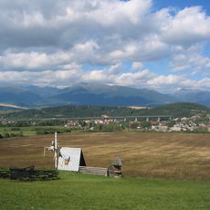
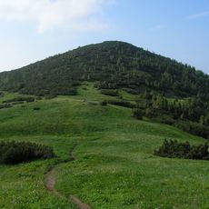
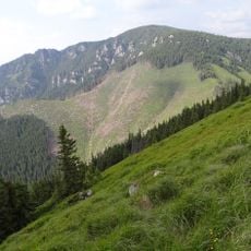
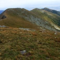
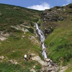
Liptovský Mikuláš sits along the Váh River in a valley surrounded by the Low Tatras, Western Tatras, and Choč Mountains. The town spreads across rolling terrain with a center mixing older buildings and contemporary structures.

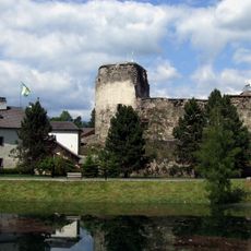
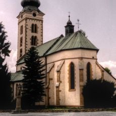
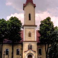
The settlement formed around the Church of Saint Nicolaus beginning in 1286 and later became the seat of Liptov County. It grew into an administrative hub after becoming the regional center in the 1600s.

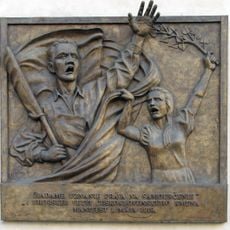
The town holds deep meaning in Slovakia's national story, with sites and monuments reflecting its role during the 19th-century resistance movement. Walking through today, you can sense how these spaces connect to moments when Slovak identity was taking shape.

The town connects to major cities via the D1 motorway and main railway line running between Bratislava and Košice, making it easy to reach. Regional airport access in Poprad provides another arrival option for visitors coming from farther away.

A memorial in the town center marks where Slovak folk hero Juraj Jánošík was executed in 1713, a turning point moment in local and national memory. This site draws visitors curious about legendary figures and their enduring place in Slovak culture.

The community of curious travelers

AroundUs brings together thousands of curated places, local tips, and hidden gems, enriched daily by 60,000 contributors worldwide.

Start exploring
Inception
1286
Elevation above the sea
577 m
Reference
510262
Shares border with
Bobrovec, Veterná Poruba, Beňadiková, Závažná Poruba, Demänovská Dolina, Svätý Kríž, Galovany, Liptovský Trnovec
Address
Mestský úrad Štúrova 1989/41
GPS coordinates
49.08358,19.61278
Latest update
December 20, 2025 13:27
Reviews
Share your experience

No review yet

Discussions
Start a discussion...

No discussion yet

« Liptovský Mikuláš - Administrative center in Žilina Region, Slovakia » is provided by Around Us (aroundus.com). Images and texts are derived from Wikimedia project under a Creative Commons license. You are allowed to copy, distribute, and modify copies of this page, under the conditions set by the license, as long as this note is clearly visible.

Discover hidden gems everywhere you go!

From secret cafés to breathtaking viewpoints, skip the crowded tourist spots and find places that match your style. Our app makes it easy with voice search, smart filtering, route optimization, and insider tips from travelers worldwide. Download now for the complete mobile experience.

Around Us App Screenshot

A unique approach to discovering new places

Le Figaro

All the places worth exploring

France Info

A tailor-made excursion in just a few clicks

20 Minutes

Around Us
Travel Guide & Maps
Download

Send to your phone

QR Code
1

Open the camera app on your mobile.

2

Point at the QR code with your camera. A notification will appear.

3

Tap the notification to open the link.