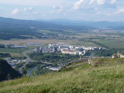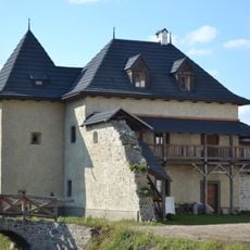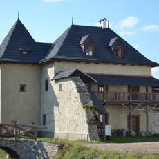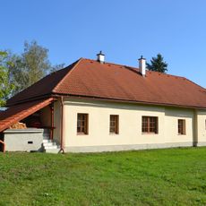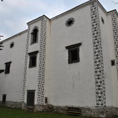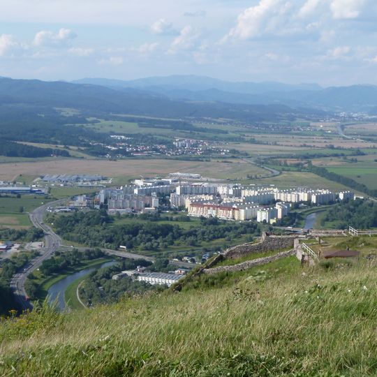
Zvolenská kotlina, Low spot in Banská Bystrica District, Slovakia.
Zvolenská kotlina is a geomorphological unit of the Slovak Central Highlands, lying between Banská Bystrica, Zvolen, Detva and Ľubietová. It is divided into nine subunits, including Bystrické podolie, Sliačska kotlina and Detvianska kotlina. The Hron river and its tributaries Slatina and Neresnica flow through it, and its highest point is Čierny diel at 851 m.
The basin served as a natural passageway connecting medieval mining centers and trade routes across central Slovakia. This strategic position shaped settlement patterns and economic activity in the valley throughout history.
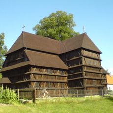
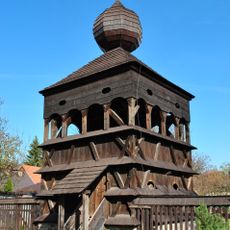
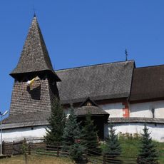
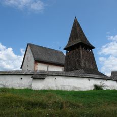
The basin's Slovak name comes from the town of Zvolen at its centre. Its nine subunits carry local names such as Bystrické podolie, Ponická vrchovina and Detvianska kotlina. Visitors can see the wooden Lutheran church at Hronsek and the Gothic church at Čerín, and bathe in the thermal pools at Kováčová.
The basin is bounded by the Starohorské vrchy and Nízke Tatry to the north, the Veporské vrchy and Poľana to the east, the Ostrôžky and Javorie to the south, and the Kremnické vrchy to the west. The Hron flows through it with the Slatina and Neresnica as tributaries. Winter averages -2 to -4 °C with 50–70 snow-cover days; summer averages 17–18 °C.
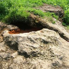
The basin holds no large protected landscape area, only small reserves such as NPR Plavno, Ponická dúbrava, PR Urpínska lesostep, Čačínska cerina and NPP Mičinské travertíny, where travertine forms at springs. The wooden Lutheran church at Hronsek and the Gothic church at Čerín stand nearby.
The community of curious travelers
AroundUs brings together thousands of curated places, local tips, and hidden gems, enriched daily by 95,379 contributors worldwide.