
Streda nad Bodrogom, municipality of Slovakia
Location: Trebišov District
Inception: 1273
Elevation above the sea: 94 m
Address: Obecný úrad Hlavná 176 07631
Website: http://stredanb.szm.sk
GPS coordinates: 48.36667,21.76667
Latest update: March 25, 2025 17:47
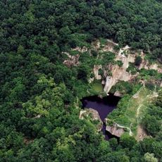
Megyer-hegyi Tarn
14.3 km
Zemplén Adventure Park
10.7 km
Castle of Sátoraljaújhely
9.7 km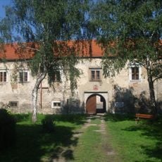
Castle
5.2 km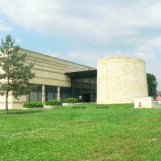
Museum of the Hungarian Language
13.2 km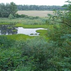
Tajba
2.3 km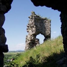
Veľký Kamenec Castle
3.2 km
Reformed church
6 km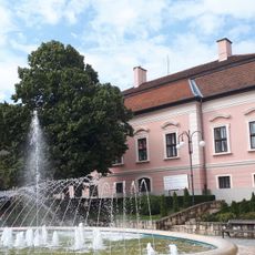
Waldbott Castle
8.7 km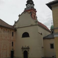
Iglesia y Monasterio de San Pablo (Sátoraljaújhely)
8.9 km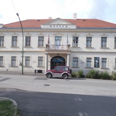
Ferenc Kazinczy Museum
8.8 km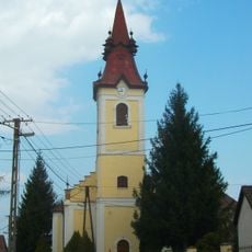
Reformed Church (Nagycigánd, Cigánd)
15.1 km
Rozhľadňa
13 km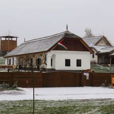
Bodrogközi Múzeumporta
15.3 km
Sátoraljaújhely Town Hall
8.8 km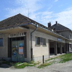
Somotor
4 km
Ruiny gotického kostola
3.9 km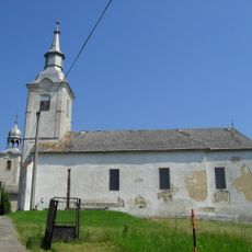
Kostol ref. kresťan. cirkvi
9 km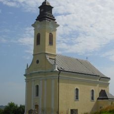
Kostol sv. Jozefa
3.2 km
Kaštieľ
3.2 km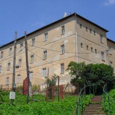
Minorite monastery, Brehov
14.3 km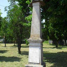
Pomník padlým v I. sv. v.
1.3 km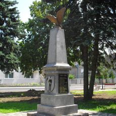
Pomník padlým v I. sv. v.
13.4 km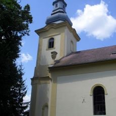
Chrám sv. Michala Archanjela
1.6 km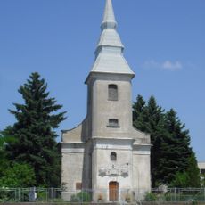
Kalvínsky kostol
5.1 km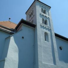
Kalvínsky kostol
13.6 km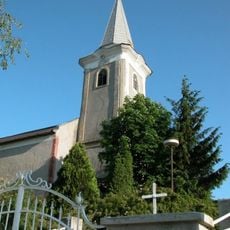
Kostol Panny Márie Karmelskej
1.1 km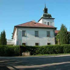
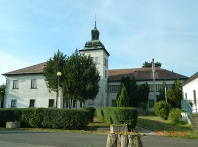
Szerdahelyiovský kaštieľ, kaštieľ
1.1 kmVisited this place? Tap the stars to rate it and share your experience / photos with the community! Try now! You can cancel it anytime.
Discover hidden gems everywhere you go!
From secret cafés to breathtaking viewpoints, skip the crowded tourist spots and find places that match your style. Our app makes it easy with voice search, smart filtering, route optimization, and insider tips from travelers worldwide. Download now for the complete mobile experience.

A unique approach to discovering new places❞
— Le Figaro
All the places worth exploring❞
— France Info
A tailor-made excursion in just a few clicks❞
— 20 Minutes