
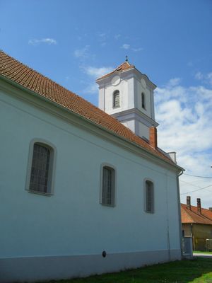
Veľké Kosihy, municipality of Slovakia
Location: Komárno District
Inception: 1268
Elevation above the sea: 110 m
Website: http://www.velkekosihy.sk/
Shares border with: Nagyszentjános, Ács, Klížska Nemá
Website: http://velkekosihy.sk
GPS coordinates: 47.75810,17.88190
Latest update: May 31, 2025 01:29
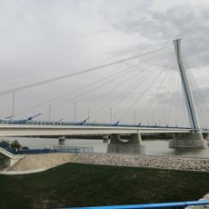
Monostor Bridge
15.2 km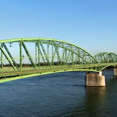
Elisabeth Bridge
17.9 km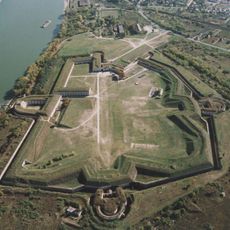
Fort Monostor
15.9 km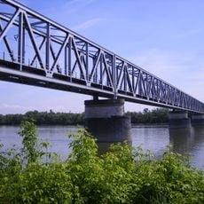
Komárom rail bridge
15.3 km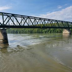
Vámosszabadi bridge
17.7 km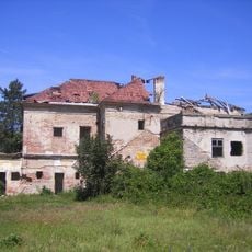
Degenfeld-Schonburg mansion in Ács
13.3 km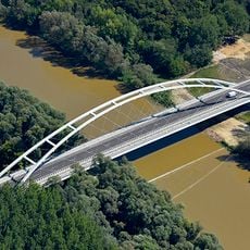
Klatsmányi Bridge
13.9 km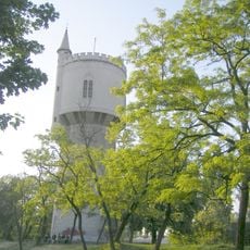
Vodárenská věž
18.2 km
Vrbina
14.1 km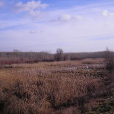
Lohotsky mociar
14.7 km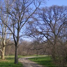
Cicovsky park
8.8 km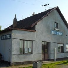
ノヴァー・ストラージ駅
12.5 km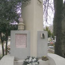
Pomník obetiam fašizmu
17.5 km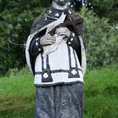
Statue of Saint John of Nepomuk
9.3 km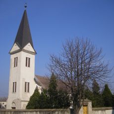
Kalvínsky kostol
11.5 km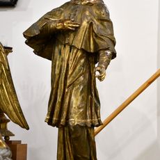
Statue of Saint John of Nepomuk
17.4 km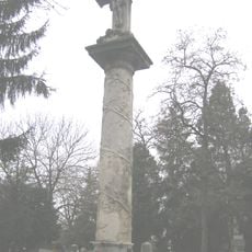
Ústredný cintorínsky kríž, kríž s korpusom
17.5 km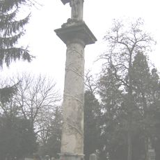
Ústredný cintorínsky kríž, stĺp
17.5 km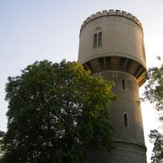
Wasserturm (Komárno)
18.2 km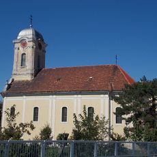
Chrám Obetovania Panny Márie, kostol
18.1 km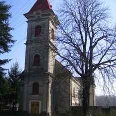
Farský kostol sv. Benedikta
6.3 km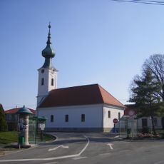
Kalvínsky kostol
5.5 km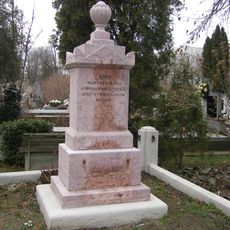
Spoločný hrob vojakov maď. ČA
17.5 km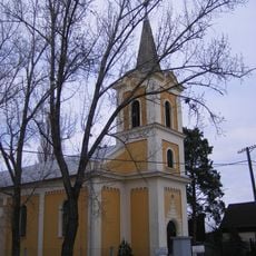
Far. kostol Povýšenia sv. Kríža
12.2 km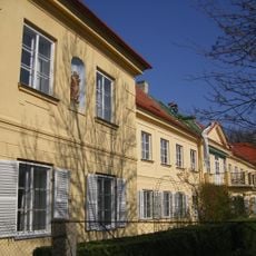
Manor in Číčov
8.6 km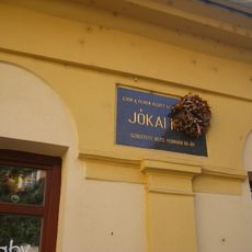
Pamätná tabuľa M. Jókaiho
18.1 km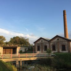
Čerpacia stanica, stanica prečerpávacia
13.3 km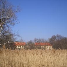
Kaštieľ rod. Kálnoky, park
8.6 kmReviews
Visited this place? Tap the stars to rate it and share your experience / photos with the community! Try now! You can cancel it anytime.
Discover hidden gems everywhere you go!
From secret cafés to breathtaking viewpoints, skip the crowded tourist spots and find places that match your style. Our app makes it easy with voice search, smart filtering, route optimization, and insider tips from travelers worldwide. Download now for the complete mobile experience.

A unique approach to discovering new places❞
— Le Figaro
All the places worth exploring❞
— France Info
A tailor-made excursion in just a few clicks❞
— 20 Minutes