
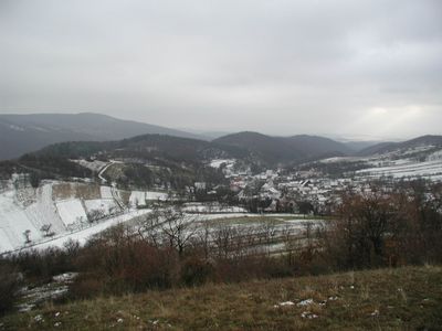
Petrova Lehota, municipality of Slovakia
Location: Trenčín District
Inception: 1346
Elevation above the sea: 402 m
Website: http://petrovalehota.sk
GPS coordinates: 48.87068,18.17297
Latest update: March 4, 2025 00:15
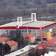
Trenčín Zimny Arena
9.1 km
Lázeňský dům Machnáč
4.1 km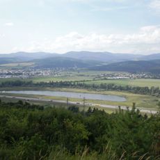
Považské podolie
9.2 km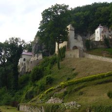
Skalka near Trenčín
8.8 km
Baské
6.4 km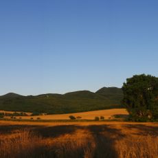
Ostrý
4.3 km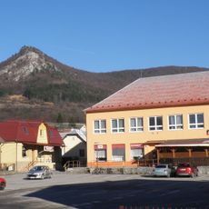
Omsenska Baba
6.4 km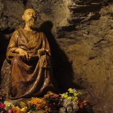
Benediktova jeskyně
8.7 km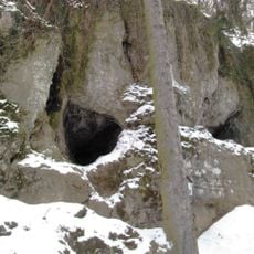
Jaskyňa nad cestou
8.8 km
Jaskyňa pod Jeleňom
4.7 km
Teplická vrchovina
5.8 km
Basky
6.2 km
Bindárka
4.7 km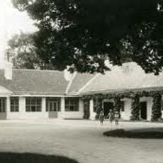
Príleský kaštel
9.4 km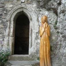
Benediktínsky, jezuitský klášt. , jaskyňa s portálom
8.7 km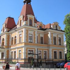
Vila Krista
4.4 km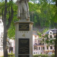
Pomník padlým v SNP
4.3 km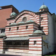
Turecký kúpeľ Hamman
4.3 km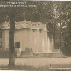
Hydrocentrála, fontána
4.1 km
Benediktínsky, jezuitský klášt. , konvent
8.7 km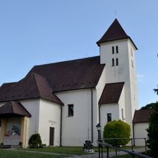
Farský kostol sv. Mikuláša, kostol
6.5 km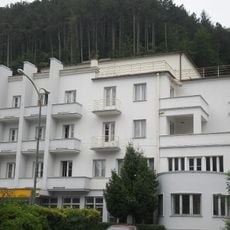
Hotel Luxor, telegr. a tel. úrad
4.4 km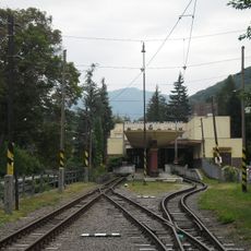
Železničná stanica Tre. Teplice
4.4 km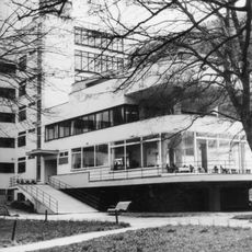
Machnáč
4.1 km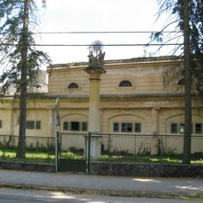
Trojičný stĺp
4.5 km
Benediktínsky, jezuitský klášt. , múr hradbový
8.7 km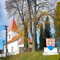
Kostol sv. Michala, múr ohradný
149 m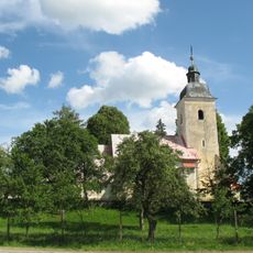
Kostol sv. Mikuláša, múr ohradný
7.5 kmVisited this place? Tap the stars to rate it and share your experience / photos with the community! Try now! You can cancel it anytime.
Discover hidden gems everywhere you go!
From secret cafés to breathtaking viewpoints, skip the crowded tourist spots and find places that match your style. Our app makes it easy with voice search, smart filtering, route optimization, and insider tips from travelers worldwide. Download now for the complete mobile experience.

A unique approach to discovering new places❞
— Le Figaro
All the places worth exploring❞
— France Info
A tailor-made excursion in just a few clicks❞
— 20 Minutes