Poľana, Extinct stratovolcano in Central Slovakia.
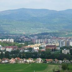
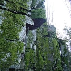
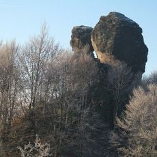
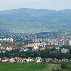
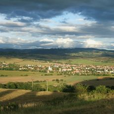
Poľana is an extinct stratovolcano in central Slovakia that rises above the surrounding villages and agricultural land. The landscape features rolling grassland, forested slopes, and rock outcrops shaped by its volcanic origin.
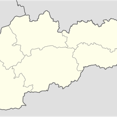
Poľana is the highest point, at 1,457.8 m, of the mountain range of the same name in the Slovenské stredohorie. The whole range is the remnant of a stratovolcano whose crater lay at the site of today's Kyslinky settlement, and the summit rises on the southeastern edge of the heavily eroded massif. The Rudná magistrála trail runs over the top.
The mountain lies in the cadastral territory of Hriňová, and the nearest settlement is the hamlet of Kyslinky, belonging to the village of Hrochoť, west of the summit. The crater of the stratovolcano is located at Kyslinky itself, so the hamlet sits inside the former volcanic centre. The name Poľana refers to the open meadows and pastures of the range.
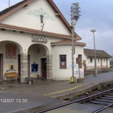
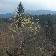
The summit lies on the Rudná magistrála long-distance route, reached by red-marked trails from Detva via Kalamárka and the Priehybina saddle or from the Jasenová saddle over Kopce. Blue-marked paths come from the Kyslinky settlement, Detva via Vrchdetva and Lom nad Rimavicou, and a green-marked trail from Hriňová over Priehybina. The top is forested, so distant views open only from small clearings, mainly on the southern slopes.
The summit lies on the Rudná magistrála, an old mining route, and the mountain's name is echoed by the Bystrý potok, a stream draining its southern slopes. From clearings on the southern slopes hikers can see the Vysoké Tatry and, to the south, ranges in Hungary.
The community of curious travelers
AroundUs brings together thousands of curated places, local tips, and hidden gems, enriched daily by 94,714 contributors worldwide.