Stebnícka Magura, Mountain summit in Bardejov District, Slovakia
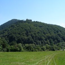
Stebnícka Magura is a mountain in Bardejov District with a height of around 900 meters (2,950 feet) and densely forested slopes. Its hillsides are covered with maple, beech, and fir trees that create thick woodland throughout.
The mountain became a protected nature reserve in 1964 to preserve its forest communities and plant diversity across the region. This protection aimed to safeguard the natural woodland ecosystems found on its slopes.
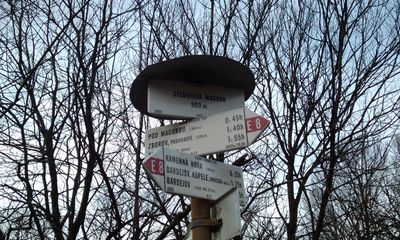
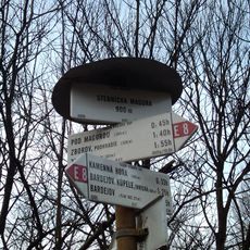
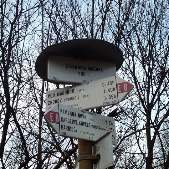
The red-marked Cesta hrdinov SNP long-distance trail crosses the summit, coming from Zborov via the Pod Magurou junction or from Bardejovské Kúpele over the Čerešňa saddle. A blue-marked route climbs from Vyšný Tvarožec, and an unmarked path leads up from Zlaté. A wooden shelter and a signpost of marked trails stand at the top.
Marked trails reach the summit on the red Cesta hrdinov SNP route from Zborov via the Pod Magurou junction and from Bardejovské Kúpele via the Čerešňa saddle, and on a blue trail from Vyšný Tvarožec; an unmarked path comes from Zlaté. The wooded top blocks any view, so lookouts lie on spots with thinner vegetation. The summit lies partly in Bardejov's cadastre.
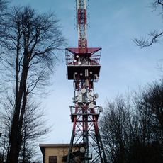
A radio and television transmitter stands at the summit, reaching about 81 meters (265 feet) tall and built in 1975 to broadcast signals across the region. The tower is visible from considerable distances and forms a distinctive landmark at the peak.
The community of curious travelers
AroundUs brings together thousands of curated places, local tips, and hidden gems, enriched daily by 94,467 contributors worldwide.