
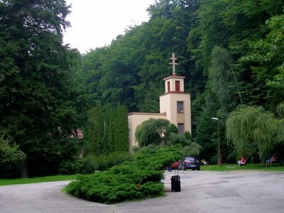
Štós, municipality of Slovakia
Location: Košice-okolie District
Inception: 1341
Elevation above the sea: 516 m
Website: https://stos.sk
GPS coordinates: 48.71111,20.78611
Latest update: April 1, 2025 22:38
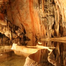
Caves of Aggtelek Karst and Slovak Karst
34.2 km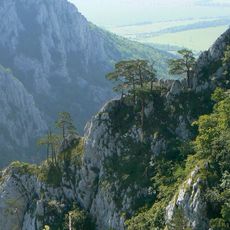
Zádielska tiesňava
9.1 km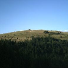
Volovecer Berge
8.4 km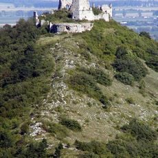
Turňa Castle
12.9 km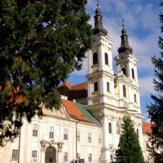
Premonštrátsky kláštor v Jasove
13.7 km
Zlatý stôl
11.4 km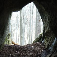
Jeskyně planiny Horný vrch
11 km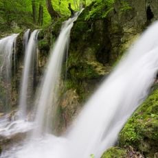
Hájske Waterfalls
9.2 km
Zádielska planina
8.5 km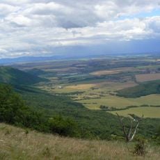
Turnianska kotlina
14.5 km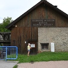
Hamr v Medzevu
7.4 km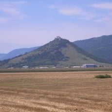
Turniansky hradny vrch
12.9 km
Jasovské dubiny
13.4 km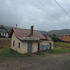
Helzmanowitz
14.2 km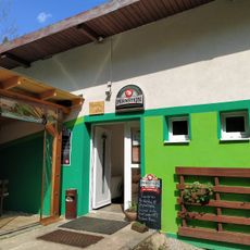
Bowling club
967 m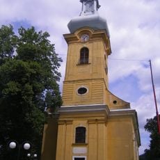
Church of Saint Catherine in Smolník
4 km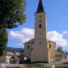
Saint Margaret of Antioch church
12.6 km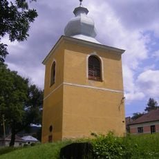
Kostol sv. Kataríny a zvonica, zvonica
3.9 km
Husitský kostol, veža
9.2 km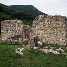
Husitský kostol, kostol ruina
9.1 km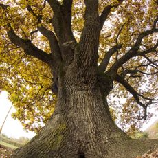
Drnava oak
11.8 km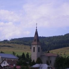
Evanjelický kostol
12.8 km
Holy Trinity column
4 km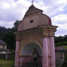
Kaplnka sv. Jána Nepomuckého
3.7 km
Reštaurácia Alžbeta
4 km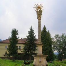
Trojičný stĺp, stĺp
4 km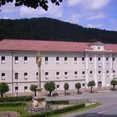
Mincovňa, tabaková továreň, továreň
4 km
Trojičný stĺp, podstavec
4 kmVisited this place? Tap the stars to rate it and share your experience / photos with the community! Try now! You can cancel it anytime.
Discover hidden gems everywhere you go!
From secret cafés to breathtaking viewpoints, skip the crowded tourist spots and find places that match your style. Our app makes it easy with voice search, smart filtering, route optimization, and insider tips from travelers worldwide. Download now for the complete mobile experience.

A unique approach to discovering new places❞
— Le Figaro
All the places worth exploring❞
— France Info
A tailor-made excursion in just a few clicks❞
— 20 Minutes