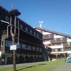
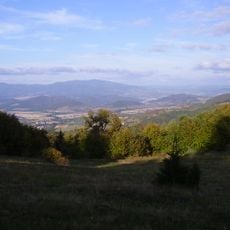
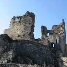
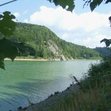
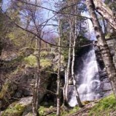
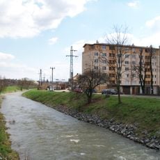
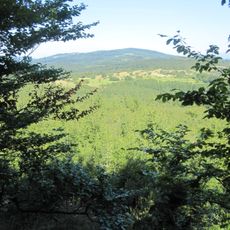
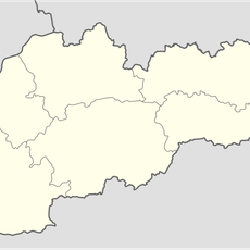
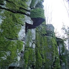
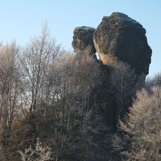
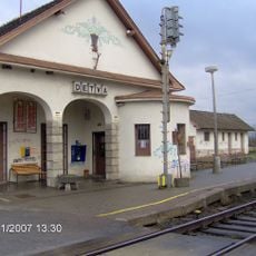
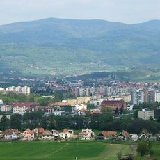
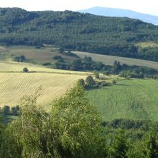
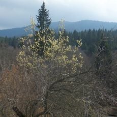
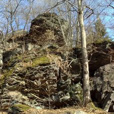
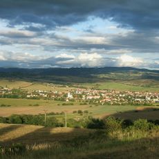
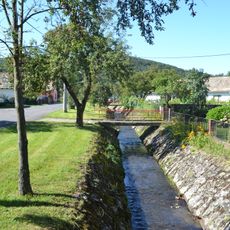
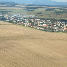
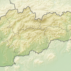
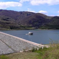
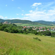
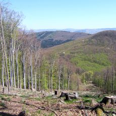
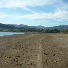
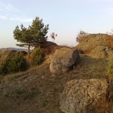
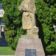
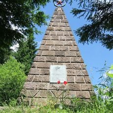
Detva District, district of Slovakia
Location: Banská Bystrica Region
Capital city: Detva
Shares border with: Brezno District, Lučenec District, Poltár District, Veľký Krtíš District, Zvolen District
GPS coordinates: 48.56028,19.41917
Latest update: March 3, 2025 14:05
Poľana
11.2 km
Poľana
9.7 km
Castle Viglas
8.8 km
Divín
15 km
Hriňová Reservoir
10.5 km
Vodopád Bystré
8.2 km
Krivánsky potok
18.3 km
Drábovka
8.2 km
Ostrôžka
7.5 km
Čierťaž
18.9 km
Kalamárka
5 km
Melichova skala
4.4 km
Detva railway station
3.1 km
Predná Poľana
8.5 km
Javor
8.9 km
Kyslinky
10.4 km
Budinska Skala
10.5 km
Detvianska kotlina
2.3 km
Málinská brázda
21.2 km
Slatinská kotlina
9 km
Jelšovec
15.4 km
Ipeľská brázda
20.2 km
Lovinobanská brázda
15.6 km
Rohy
5.3 km
Príbrežie Ružinej
16.2 km
Kamenné vráta
11 km
Pomník padlým v SNP
20.5 km
Pomník padlým v SNP
8 kmReviews
Visited this place? Tap the stars to rate it and share your experience / photos with the community! Try now! You can cancel it anytime.
Discover hidden gems everywhere you go!
From secret cafés to breathtaking viewpoints, skip the crowded tourist spots and find places that match your style. Our app makes it easy with voice search, smart filtering, route optimization, and insider tips from travelers worldwide. Download now for the complete mobile experience.
A unique approach to discovering new places❞
— Le Figaro
All the places worth exploring❞
— France Info
A tailor-made excursion in just a few clicks❞
— 20 Minutes