
Plavecký Peter, municipality of Slovakia
Location: District of Senica
Website: https://plaveckypeter.sk
GPS coordinates: 48.53646,17.32636
Latest update: May 25, 2025 20:08
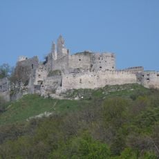
Plavecký hrad
6.4 km
Záruby
5.1 km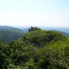
Ostrý Kameň Castle
3.8 km
Deravá skala
4.4 km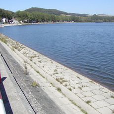
Buková Reservoir
2.6 km
Biele hory
6.1 km
Pohanská
6.6 km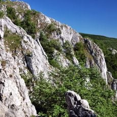
Kršlenica
3.9 km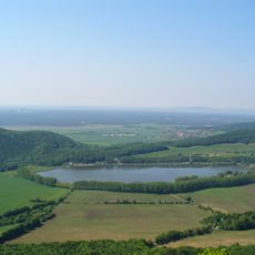
Buková
3 km
Čertov žľab
5.8 km
Pohanská (Malé Karpaty)
6.6 km
Čierna skala
4.7 km
Zaruby
4.8 km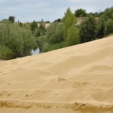
Bežnisko
5.7 km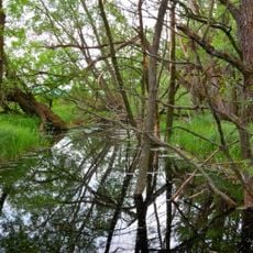
Rudava
2.7 km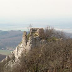
Hrad Ostrý Kameň, Ostriež, veža bránová
3.7 km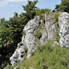
Čelo
5.2 km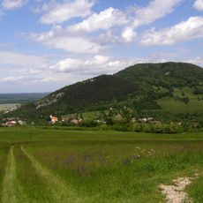
Pohanská
6.7 km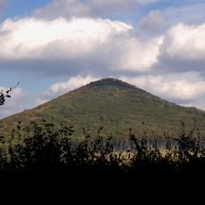
Wetterling
3.7 km
Čierna skala
4.3 km
Pec
6.2 km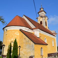
Kostol sv. Floriána
3.4 km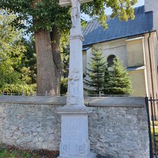
Prícestný kríž
2.8 km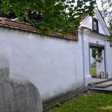
Opevnený kostol sv. Mikuláša, opevnenie kostola
3.2 km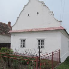
Ľudový dom
31 m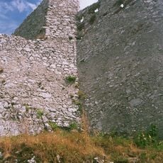
Plavecký hrad, palác hradný I.
6.3 km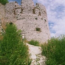
Plavecký hrad, múr hradbový I.
6.3 km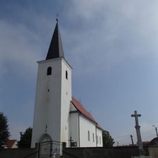
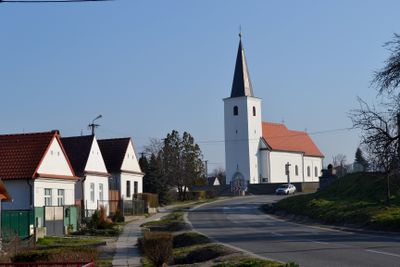
Farský kostol sv. Petra a Pavla, opevnenie kostola
68 mReviews
Visited this place? Tap the stars to rate it and share your experience / photos with the community! Try now! You can cancel it anytime.
Discover hidden gems everywhere you go!
From secret cafés to breathtaking viewpoints, skip the crowded tourist spots and find places that match your style. Our app makes it easy with voice search, smart filtering, route optimization, and insider tips from travelers worldwide. Download now for the complete mobile experience.

A unique approach to discovering new places❞
— Le Figaro
All the places worth exploring❞
— France Info
A tailor-made excursion in just a few clicks❞
— 20 Minutes