Enable Location

We need your location to show you interesting places around you

Discover nearby places

Find interesting locations and hidden gems around you

Precise directions

Get accurate directions and distances to places

Your location is never shared with other users. It's only used when you tap the location button.

Myjavská pahorkatina

Log in to your account

Start exploring — it's free

Trusted by 60,648 travelers worldwide

Continue with Google
Continue with Apple
or

We will send you a code to connect

By continuing, you accept our Terms and Conditions and our Privacy Policy

Check your inbox

We've sent a pincode in your inbox. Please enter the code below.

Myjavská pahorkatina

Myjavská pahorkatina, Hilly landscape region in Senica District, Slovakia.

Description

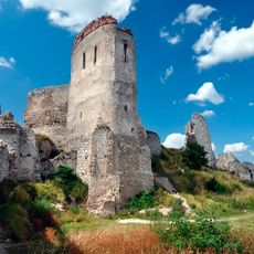
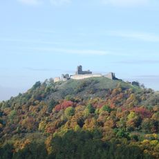
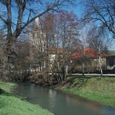
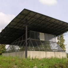
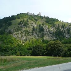
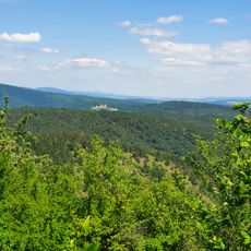
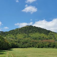
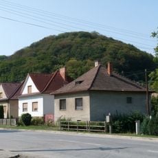
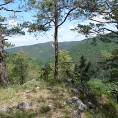
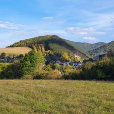
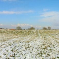
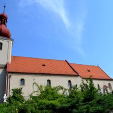
The Miawaer Hügelland is a hilly region in western Slovakia within the Trnava area, characterized by gently rolling elevations and varied terrain heights. The landscape consists of farmland, forest patches, and open meadows arranged in a gentle pattern across the hills.

History

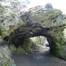
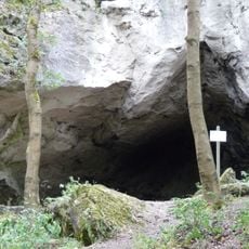
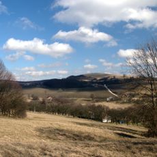
The region formed through erosion processes over extended periods, creating varied surface features with moderate elevations. This geological development produced terrain that differs clearly from both flat plains and high mountain ranges.

Culture

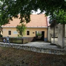
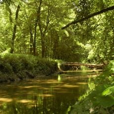
The name comes from an old regional language group, and the landscape is shaped today by farmers who manage fields, meadows, and woodlands across the hills. This way of living on the land continues to define how the place looks and feels.

Practical

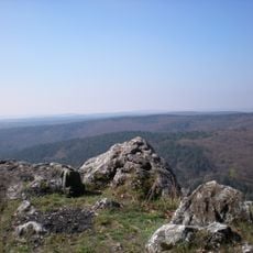
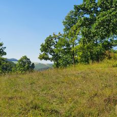
The area is best explored on foot and should be visited with topographic maps or local hiking guides for orientation. Sturdy footwear is advisable, and visitors should account for the hill elevations when planning their walks.

Did you know?

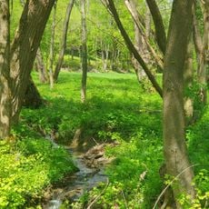
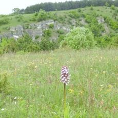
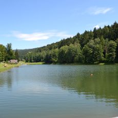
The terrain supports different types of plants and animals adapted to the moderate elevations, creating distinct ecological zones across the hills. This natural variety makes each walk through the landscape an opportunity to encounter multiple habitats in a single journey.

Location
District of Senica
GPS coordinates
48.72044,17.57938
Latest update
December 12, 2025 14:26

AroundUs brings together thousands of curated places, local tips, and hidden gems, enriched daily by 60,000 contributors worldwide. Discover all places nearby (District of Senica).

« Myjavská pahorkatina - Hilly landscape region in Senica District, Slovakia » is provided by Around Us (aroundus.com). Images and texts are derived from Wikimedia project under a Creative Commons license. You are allowed to copy, distribute, and modify copies of this page, under the conditions set by the license, as long as this note is clearly visible.

Discover hidden gems everywhere you go!

From secret cafés to breathtaking viewpoints, skip the crowded tourist spots and find places that match your style. Our app makes it easy with voice search, smart filtering, route optimization, and insider tips from travelers worldwide. Download now for the complete mobile experience.

Around Us App Screenshot

A unique approach to discovering new places

Le Figaro

All the places worth exploring

France Info

A tailor-made excursion in just a few clicks

20 Minutes

Around Us
Travel Guide & Maps
Download

Send to your phone

QR Code
1

Open the camera app on your mobile.

2

Point at the QR code with your camera. A notification will appear.

3

Tap the notification to open the link.