Enable Location

We need your location to show you interesting places around you

Discover nearby places

Find interesting locations and hidden gems around you

Precise directions

Get accurate directions and distances to places

Your location is never shared with other users. It's only used when you tap the location button.

Rycerzowa

Log in to your account

Start exploring — it's free

Trusted by 62,189 travelers worldwide

Continue with Google
Continue with Apple
or

We will send you a code to connect

By continuing, you accept our Terms and Conditions and our Privacy Policy

Check your inbox

We've sent a pincode in your inbox. Please enter the code below.

Rycerzowa

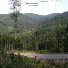
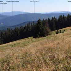
Rycerzowa, Mountain summit in Čadca District, Slovakia

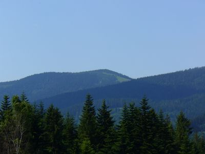
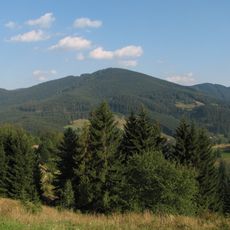
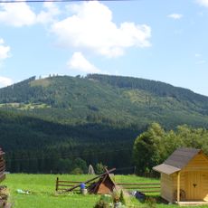
Rycerzowa is a mountain summit standing at 1226 meters (4023 feet) that straddles the Poland-Slovakia border. The slopes support diverse plant life and connect to several marked hiking trails that approach from different directions.

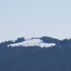
The summit was shaped by ice age geology and later became a boundary marker when modern national borders were established in the 20th century. Its role as a border point continues to define its character today.

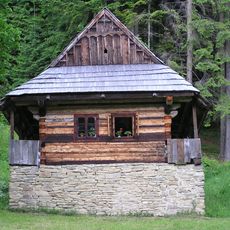
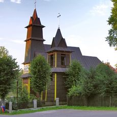
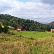
The name Rycerzowa comes from the Polish word for knight, reflecting the region's medieval past. The PTTK Bacówka shelter serves as a social hub where hikers gather to eat local food and share stories.

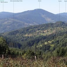
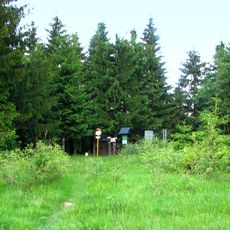
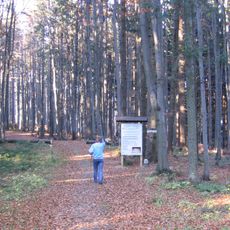
Marked trails ascend from valley settlements, with the yellow route from Soblówka being the shortest approach. Visitors should bring sturdy footwear and weather protection, as conditions at the summit can change quickly.

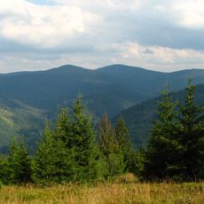
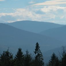
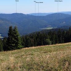
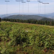
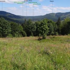
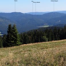
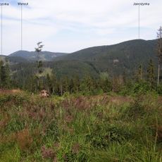
From the top, hikers can look out over two distinct mountain chains: the Slovakian Low Tatras and the Polish Beskids, a rare view spanning two separate ranges. This location offers a different perspective with each season.

The community of curious travelers

AroundUs brings together thousands of curated places, local tips, and hidden gems, enriched daily by 60,000 contributors worldwide.

Start exploring
Location
Location
Elevation above the sea
1,225.5 m
GPS coordinates
49.41585,19.09178
Latest update
December 10, 2025 16:01
« Rycerzowa - Mountain summit in Čadca District, Slovakia » is provided by Around Us (aroundus.com). Images and texts are derived from Wikimedia project under a Creative Commons license. You are allowed to copy, distribute, and modify copies of this page, under the conditions set by the license, as long as this note is clearly visible.

Discover hidden gems everywhere you go!

From secret cafés to breathtaking viewpoints, skip the crowded tourist spots and find places that match your style. Our app makes it easy with voice search, smart filtering, route optimization, and insider tips from travelers worldwide. Download now for the complete mobile experience.

Around Us App Screenshot

A unique approach to discovering new places

Le Figaro

All the places worth exploring

France Info

A tailor-made excursion in just a few clicks

20 Minutes

Around Us
Travel Guide & Maps
Download

Send to your phone

QR Code
1

Open the camera app on your mobile.

2

Point at the QR code with your camera. A notification will appear.

3

Tap the notification to open the link.