Enable Location

We need your location to show you interesting places around you

Discover nearby places

Find interesting locations and hidden gems around you

Precise directions

Get accurate directions and distances to places

Your location is never shared with other users. It's only used when you tap the location button.

Karancs

Log in to your account

Start exploring — it's free

Trusted by 63,494 travelers worldwide

Continue with Google
Continue with Apple
or

We will send you a code to connect

By continuing, you accept our Terms and Conditions and our Privacy Policy

Check your inbox

We've sent a pincode in your inbox. Please enter the code below.

Karancs
Discussion Reviews 1 Photos
1.6k Popularity

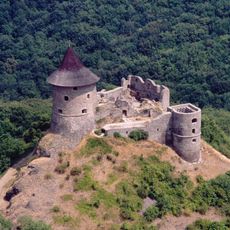
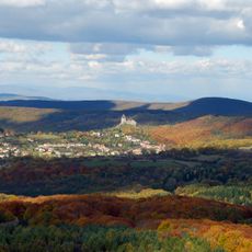
Karancs, Mountain summit at Slovak-Hungarian border

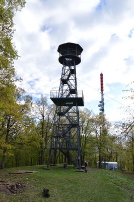
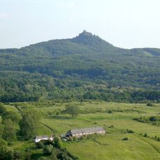
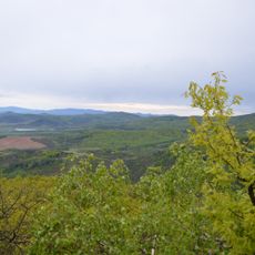
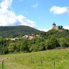
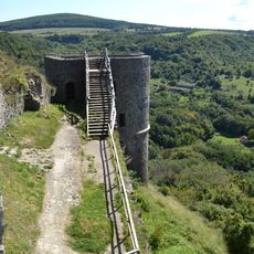
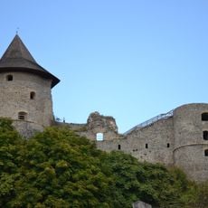
Karancs is a mountain summit on the Slovak-Hungarian border that reaches 725 meters in elevation. It stands as the highest point of the Karancs Hills, located within the Lučenec District.

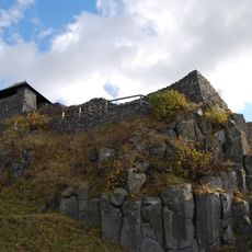
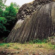
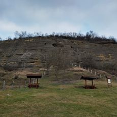
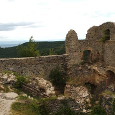
Volcanic activity during the Miocene epoch shaped this mountain through a laccolith formation process. This geological event created the structure that defines the landscape today.

The name Karancs originates from Middle Turkic languages, where 'kara' refers to the dark green color of the mountain slopes.

Marked trails approach the summit from both the Hungarian and Slovak sides, with the climb taking roughly two to three hours. A mountain shelter sits about 839 meters southwest of the peak and provides a rest stop.

The mountain ranks 34th among 8,386 peaks in Slovakia based on prominence and stands as the highest elevation in Cerová vrchovina Protected Area.

The community of curious travelers

AroundUs brings together thousands of curated places, local tips, and hidden gems, enriched daily by 60,000 contributors worldwide.

Start exploring
Elevation above the sea
725.1 m
Part of
Karancs Hills
GPS coordinates
48.15834,19.78969
Latest update
December 14, 2025 14:24
Reviews
Share your experience

No review yet

Discussions
Start a discussion...

No discussion yet

« Karancs - Mountain summit at Slovak-Hungarian border » is provided by Around Us (aroundus.com). Images and texts are derived from Wikimedia project under a Creative Commons license. You are allowed to copy, distribute, and modify copies of this page, under the conditions set by the license, as long as this note is clearly visible.

Discover hidden gems everywhere you go!

From secret cafés to breathtaking viewpoints, skip the crowded tourist spots and find places that match your style. Our app makes it easy with voice search, smart filtering, route optimization, and insider tips from travelers worldwide. Download now for the complete mobile experience.

Around Us App Screenshot

A unique approach to discovering new places

Le Figaro

All the places worth exploring

France Info

A tailor-made excursion in just a few clicks

20 Minutes

Around Us
Travel Guide & Maps
Download

Send to your phone

QR Code
1

Open the camera app on your mobile.

2

Point at the QR code with your camera. A notification will appear.

3

Tap the notification to open the link.