
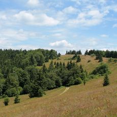
Kykula, Berg in der Slowakei
Location: Slovakia
Location: Považská Bystrica District
Location: Bytča District
Elevation above the sea: 920.3 m
GPS coordinates: 49.26398,18.42209
Latest update: March 16, 2025 03:12
Veľký Javorník
7.3 km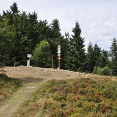
Malý Javorník
9.8 km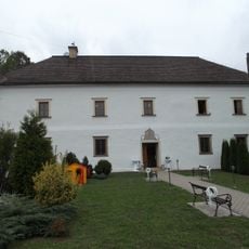
Jasenica Manor house
9.5 km
Malý Javorník
10.8 km
Bytčianska kotlina
10.8 km
Veľký Javorník
7.5 km
Stratenec
8.5 km
Javornícka hornatina
6 km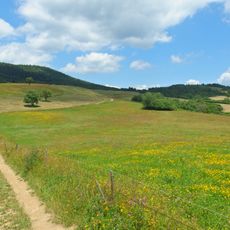
Javornícka brázda
4 km
Socha sv. Jána Nepomuckého, socha
10.9 km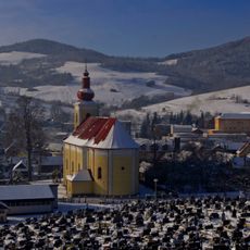
Kostol sv. Ondreja
3.8 km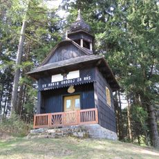
Chapel of the Virgin Mary of the Rosary
9.9 km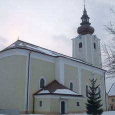
Church of St Gall, Predmier
10.8 km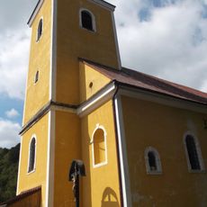
Kostol sv. Petra a Pavla
8.2 km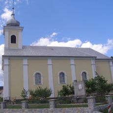
Church of the Nativity of the Virgin Mary
7.6 km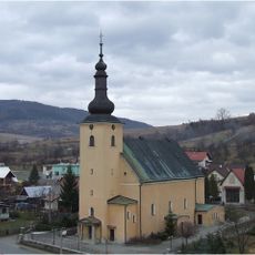
Kostol sv. Františka z Assisi
4 km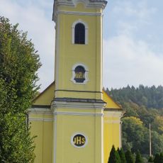
Kostol sv. Michala
9.6 km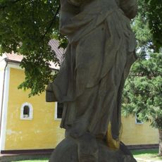
Nepoškvrnená Panna Mária, socha
8.2 km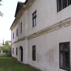
Kaštel Predmier
10.8 km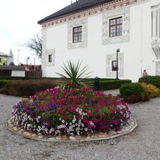
Kaštieľ Bytča s areálom, park
11.1 km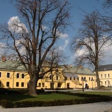
Kaštieľ Bytča s areálom, budova
11.1 km
Socha sv. Jána Nepomuckého, socha
10.8 km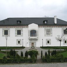
Kaštieľ Bytča s areálom, palác sobášny
11.1 km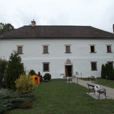
Szunyoghovský kaštieľ
9.5 km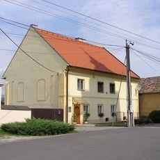
Pošta
10.8 km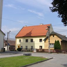
Spisovateľ, básnik, dom pamätný
10.8 km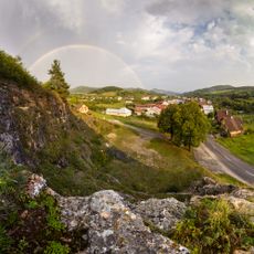
Hrádok Hatné
8.6 km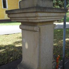
Nepoškvrnená Panna Mária, podstavec
8.2 kmReviews
Visited this place? Tap the stars to rate it and share your experience / photos with the community! Try now! You can cancel it anytime.
Discover hidden gems everywhere you go!
From secret cafés to breathtaking viewpoints, skip the crowded tourist spots and find places that match your style. Our app makes it easy with voice search, smart filtering, route optimization, and insider tips from travelers worldwide. Download now for the complete mobile experience.

A unique approach to discovering new places❞
— Le Figaro
All the places worth exploring❞
— France Info
A tailor-made excursion in just a few clicks❞
— 20 Minutes