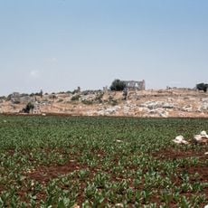
Babisqa, Archaeological site in northwestern Syria
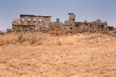
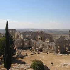
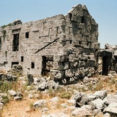
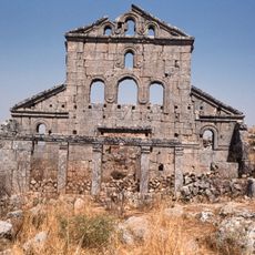
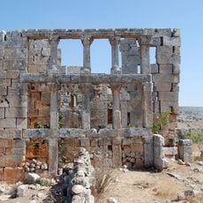
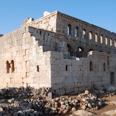
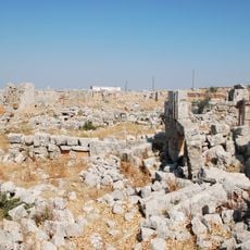
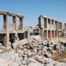
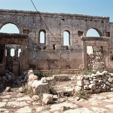
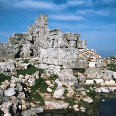
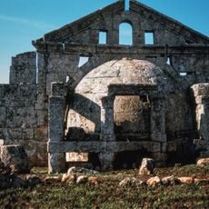
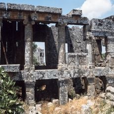
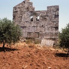
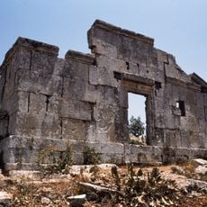
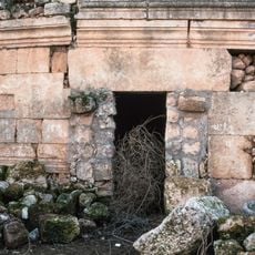
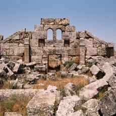
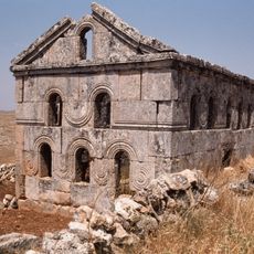
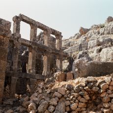
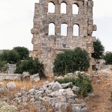
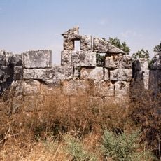
Babisqa is an archaeological site in northwestern Syria containing remains from ancient and early medieval times. The ruins show traces of residential structures, public baths, two churches, and a marketplace spread across sloping terrain.
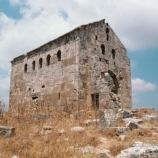
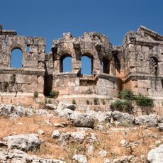
The earliest structures at this location date to the late ancient period, with one of the churches built between the 4th and 5th centuries. A second church followed in the early 7th century, showing the site's continuing religious importance over several generations.
The Church of St. Sergius, built in 610 AD, represents the final Byzantine religious structure constructed in northern Syria.
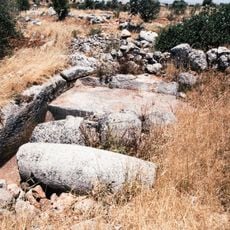
The site sits on hilly terrain and requires sturdy footwear and care when walking over uneven ancient remains. The best time to visit is during cooler months when conditions on the ground are more manageable.
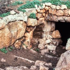
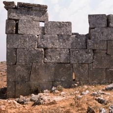
This location features an unusual system of tunnel vaults running beneath the ancient buildings, suggesting multi-story construction. These underground structures are among the few preserved examples of such building techniques in the region.
The community of curious travelers
AroundUs brings together thousands of curated places, local tips, and hidden gems, enriched daily by 60,000 contributors worldwide.