Chest opened
+${chestReward.xp} XP
Explorer
NOUVEAU ×${chestReward.collectible.quantity}
tapez pour fermer
Chest locked

Open chests in the app

Around Us is built for your phone — chests unlock when you walk, explore and capture nearby places.

Enable Location

We need your location to show you interesting places around you

Discover nearby places

Find interesting locations and hidden gems around you

Precise directions

Get accurate directions and distances to places

Your location is never shared with other users. It's only used when you tap the location button.

Rama II Road

Log in to your account

Start exploring — it's free

Trusted by 72,877 travelers worldwide

Continue with Google
Continue with Apple
or

We will send you a code to connect

By continuing, you accept our Terms and Conditions and our Privacy Policy

Check your inbox

We've sent a pincode in your inbox. Please enter the code below.

Rama II Road
Discussion Reviews 1 Photos
24.2k Popularity

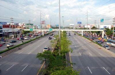
Rama II Road, Major highway in southwestern Bangkok, Thailand.

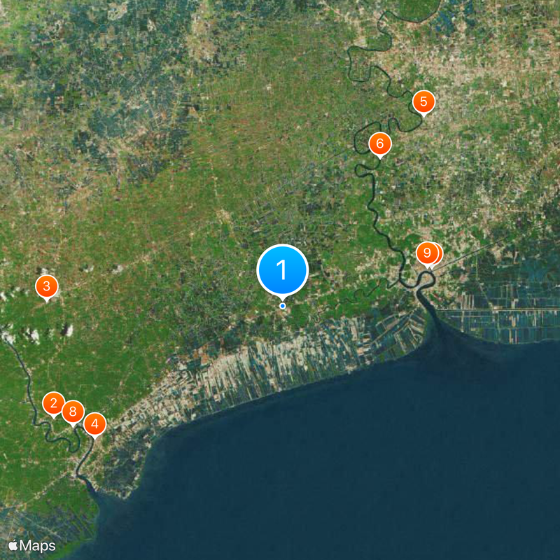
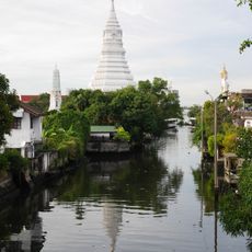
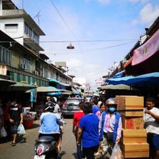
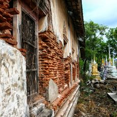
Rama II Road is Thailand Route 35, a major highway in southwestern Bangkok stretching approximately 84 kilometers. It connects the capital with Samut Sakhon, Samut Songkhram, and Ratchaburi provinces, passing through varied geographical areas along the way.

The route was completed in 1973 by the Department of Highways under Field Marshal Thanom Kittikachorn's administration. Construction took place in three separate phases, with the final stage including the Somdet Phra Phutthaloetla Naphalai Bridge.

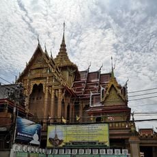
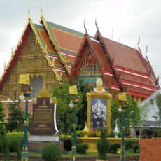
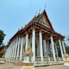
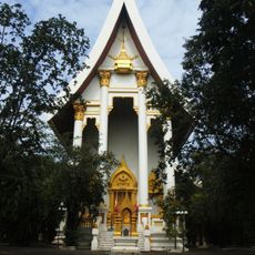
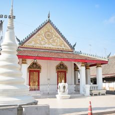
The road is named after King Phutthaloetla Naphalai of the Chakri dynasty, who had origins in the Samut Songkhram Province area. This naming reflects the historical connection between the monarch and the region this route passes through.

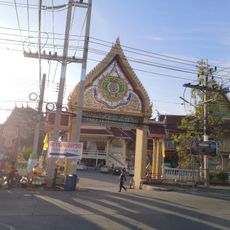
The route features bilingual signage in Thai and English to help travelers navigate clearly. This makes it straightforward for both local drivers and international visitors to find their way along the corridor.

The Somdet Phra Phutthaloetla Naphalai Bridge, built during the final construction phase, stands as a notable landmark along the route. It was developed as a separate undertaking and remains a recognizable feature of this transport corridor.

The community of curious travelers

AroundUs brings together thousands of curated places, local tips, and hidden gems, enriched daily by 60,000 contributors worldwide.

Start exploring
Inception
1973
GPS coordinates
13.51443,100.15352
Latest update
December 20, 2025 12:57
Reviews
Share your experience

No review yet

Discussions
Start a discussion...

No discussion yet

« Rama II Road - Major highway in southwestern Bangkok, Thailand » is provided by Around Us (aroundus.com). Images and texts are derived from Wikimedia project under a Creative Commons license. You are allowed to copy, distribute, and modify copies of this page, under the conditions set by the license, as long as this note is clearly visible.

Discover hidden gems everywhere you go!

From secret cafés to breathtaking viewpoints, skip the crowded tourist spots and find places that match your style. Our app makes it easy with voice search, smart filtering, route optimization, and insider tips from travelers worldwide. Download now for the complete mobile experience.

Around Us App Screenshot

A unique approach to discovering new places

Le Figaro

All the places worth exploring

France Info

A tailor-made excursion in just a few clicks

20 Minutes

Around Us
Travel Guide & Maps
Download

Send to your phone

QR Code
1

Open the camera app on your mobile.

2

Point at the QR code with your camera. A notification will appear.

3

Tap the notification to open the link.