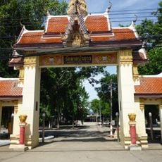
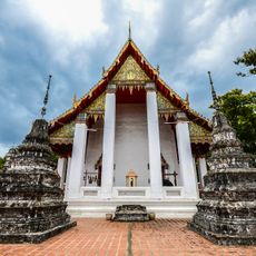
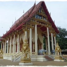
Tha Muang, District center in Kanchanaburi, Thailand.
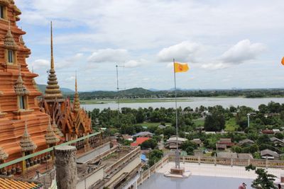
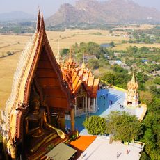
Tha Muang is a district in Kanchanaburi that spans around 610 square kilometers with 13 sub-districts and 113 villages. The Mae Klong River flows through the area, shaping the landscape and providing water resources for communities and agriculture.
The district was established as an administrative unit in 1898 under the name Wang Khanai. It was renamed Tha Muang in 1939, taking the name it bears today.
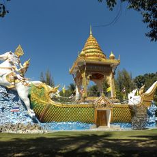
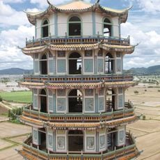
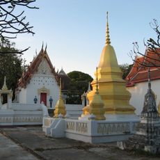
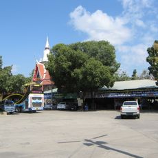
The area maintains strong agricultural roots, with farming practices and local markets that reflect how residents depend on the land for their livelihoods. These traditions shape the rhythm and character of daily life throughout the district.
The district sits at about 31 meters (100 feet) elevation and is connected to five neighboring districts and Kanchanaburi city through roads. Visiting during the dry season makes travel easier, as roads are in better condition than during the rainy months.
The Tha Muang Dam, one of the province's major water management structures, sits within the district boundaries. This facility controls water flow and supplies the entire region, making it essential for farming and power generation.
The community of curious travelers
AroundUs brings together thousands of curated places, local tips, and hidden gems, enriched daily by 60,000 contributors worldwide.