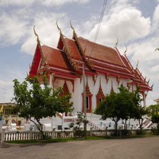
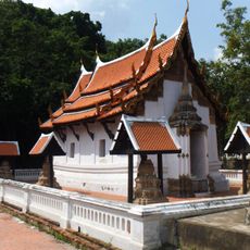
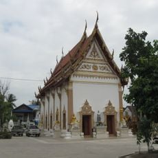
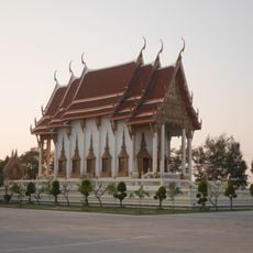
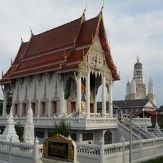
Tha Yang, Administrative district in Phetchaburi, Thailand
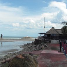
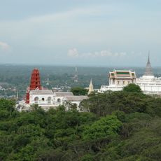
Tha Yang is a district in Phetchaburi Province in western Thailand, stretching from a coastal strip along the Gulf of Thailand to hillier inland areas. The territory covers salt flats, farmland, and forested uplands, all within the same administrative boundary.
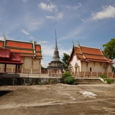
The area took its current name in 1939, when it was renamed after the Yang trees that once grew near a riverside pier. Before that, the area was known as Yang Yong, and the change tied the district's name to a feature of the local landscape that people could see and recognise.
Along the coastal strip of the district, salt is still harvested using traditional methods, with seawater channeled into flat ponds and left to dry under the sun. The white salt fields, which empty in the rainy season and fill again in the dry months, shape the look of this part of the district.
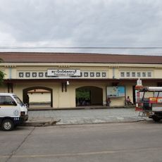
The district is easy to reach from Phetchaburi city and is connected by several roads. Road conditions near the coast and in low-lying areas can worsen during the rainy season, so it is worth checking before heading out.
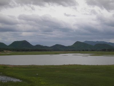
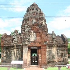
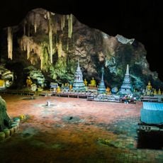
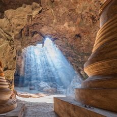
Tha Yang borders Kaeng Krachan National Park, one of the largest protected areas in Thailand, meaning visitors can move from coastal salt fields to dense mountain forest without travelling far. This contrast within a single district is rare and makes the area worth exploring beyond its coast.
The community of curious travelers
AroundUs brings together thousands of curated places, local tips, and hidden gems, enriched daily by 60,000 contributors worldwide.