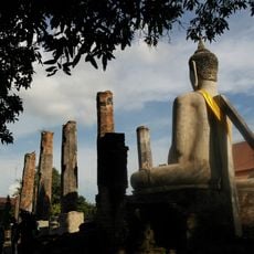
Geography of Thailand, Geographic landscape in Southeast Asia, Thailand
The geography of Thailand covers more than five hundred thousand square kilometers in Southeast Asia with mountain ranges in the north, wide plains in the center, and long coastlines along the Andaman Sea and Gulf of Thailand. The country borders Myanmar, Laos, Cambodia, and Malaysia and extends across several climate zones from tropical rainforests to highland regions.
The Chao Phraya river and its basin formed the foundation for Thai kingdoms starting in the 13th century with Sukhothai. The natural waterways later enabled the growth of the capital Bangkok and connected the interior with maritime trade routes.
The central plains irrigation networks enable wet rice cultivation, which shapes agricultural traditions and community structures throughout the country.
The country extends from mountain regions along the Myanmar border to coastal areas in the south and includes several geographic zones. Travelers move between the northern highlands, the central river plain, and the southern peninsulas with their own climatic conditions and landforms.
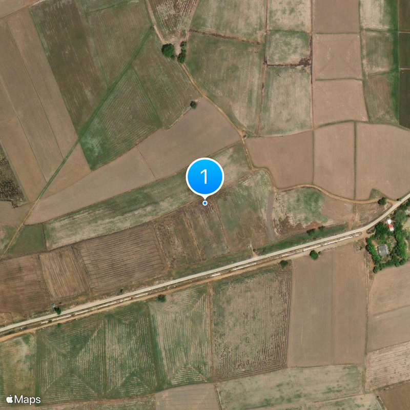
The Khorat Plateau in the northeast drains through the Mun river system into the Mekong and creates particular agricultural conditions. This region differs markedly from other parts of the country in soil composition and rainfall patterns.
The community of curious travelers
AroundUs brings together thousands of curated places, local tips, and hidden gems, enriched daily by 60,000 contributors worldwide.