Enable Location

We need your location to show you interesting places around you

Discover nearby places

Find interesting locations and hidden gems around you

Precise directions

Get accurate directions and distances to places

Your location is never shared with other users. It's only used when you tap the location button.

Log in to your account

Start exploring — it's free

Trusted by 62,486 travelers worldwide

Continue with Google
Continue with Apple
or

We will send you a code to connect

By continuing, you accept our Terms and Conditions and our Privacy Policy

Check your inbox

We've sent a pincode in your inbox. Please enter the code below.

Wiang Sa

Wiang Sa, Administrative district in Nan province, Thailand

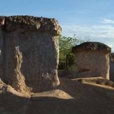
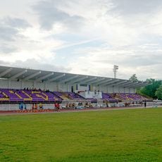
Wiang Sa is an administrative district occupying central Nan province with numerous sub-districts and villages spread across its territory. The landscape consists of rolling hills and natural highlands at an elevation of around 227 meters above sea level.

The district was originally established in 1908 under a different name and underwent administrative changes over the decades. It received its current name in 1986 after being known by other designations during the mid-twentieth century.

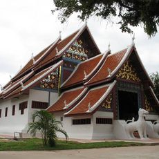
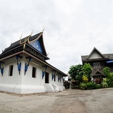
The district maintains traditional Thai administrative structures with 17 sub-districts and 128 villages, each preserving local governance and community practices.

The district shares borders with several neighboring districts and Laos to the east, connecting through road networks. Travel to the area is accessible via routes connecting to adjacent administrative zones.

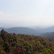
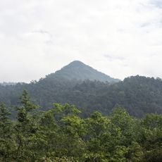
The eastern portion of the district extends into the Luang Prabang Range, forming part of the mountain zone in the Thai highlands. This geographical feature creates distinctive terrain with elevation changes and forest cover.

The community of curious travelers

AroundUs brings together thousands of curated places, local tips, and hidden gems, enriched daily by 60,000 contributors worldwide.

Start exploring
Location
Nan
Elevation above the sea
227 m
GPS coordinates
18.59833,100.74000
Latest update
December 7, 2025 20:48
« Wiang Sa - Administrative district in Nan province, Thailand » is provided by Around Us (aroundus.com). Images and texts are derived from Wikimedia project under a Creative Commons license. You are allowed to copy, distribute, and modify copies of this page, under the conditions set by the license, as long as this note is clearly visible.

Discover hidden gems everywhere you go!

From secret cafés to breathtaking viewpoints, skip the crowded tourist spots and find places that match your style. Our app makes it easy with voice search, smart filtering, route optimization, and insider tips from travelers worldwide. Download now for the complete mobile experience.

Around Us App Screenshot

A unique approach to discovering new places

Le Figaro

All the places worth exploring

France Info

A tailor-made excursion in just a few clicks

20 Minutes

Around Us
Travel Guide & Maps
Download

Send to your phone

QR Code
1

Open the camera app on your mobile.

2

Point at the QR code with your camera. A notification will appear.

3

Tap the notification to open the link.