Ban Kat, subdistrict in Mae Sariang district, Mae Hong Son province, Thailand
Location: Mae Sariang
Elevation above the sea: 234 m
GPS coordinates: 18.19503,97.92758
Latest update: April 8, 2025 04:12

Doi Inthanon
73.6 km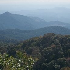
Doi Inthanon National Park
78.7 km
Wat Phra That Si Chomthong
83.2 km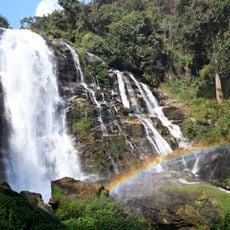
Wachirathan Waterfall
80.7 km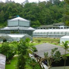
Queen Sirikit Botanic Garden
125.1 km
Op Luang National Park
58.6 km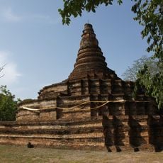
Wiang Tha Kan
108.2 km
Thai National Observatory
73.7 km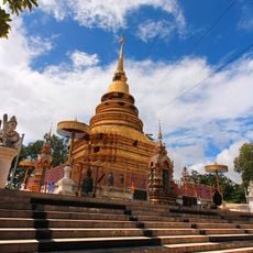
Wat Phra That Doi Noi
97.4 km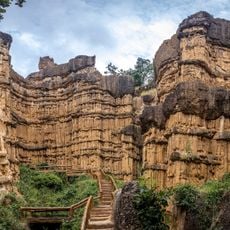
Mae Wang National Park
91.4 km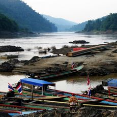
Salawin National Park
22.1 km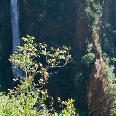
Namtok Mae Surin National Park
105.8 km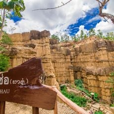
Mae Wang National Park
91.4 km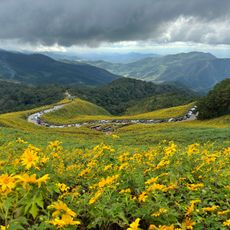
Thung Bua Tong Forest Park
79.8 km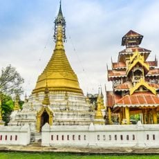
Wat To Phae
67.5 km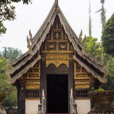
Wat Pa Daet
57 km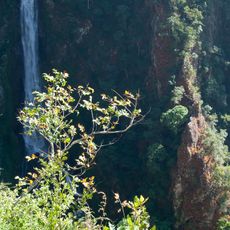
Mae Surin Falls
84.1 km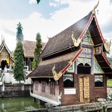
Wat Phut En
57 km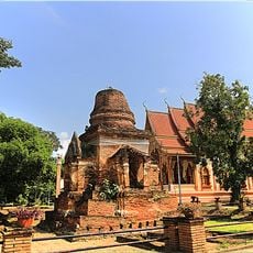
Wat Ko Klang
108.1 km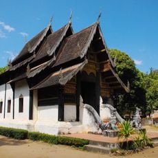
Wat Yang Luang
56.3 km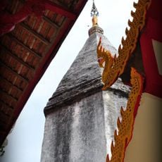
Wat Ban Chiang
57.6 km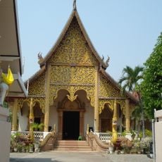
Wat Muang Ton
93.3 km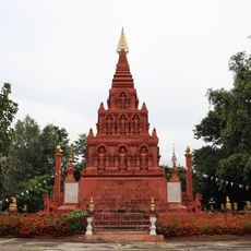
Wat Pa Chedi Liam
108 km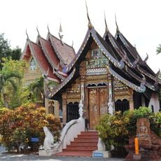
Wat Mongkhon
105.3 km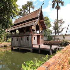
Wat San Kamphaeng
108.8 km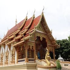
Wat San Kawan
107.1 km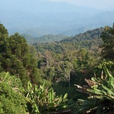
Mae Sa - Huai Khok Ma Biosphere Reserve
73.2 km
Thai National Telescope
73.7 kmReviews
Visited this place? Tap the stars to rate it and share your experience / photos with the community! Try now! You can cancel it anytime.
Discover hidden gems everywhere you go!
From secret cafés to breathtaking viewpoints, skip the crowded tourist spots and find places that match your style. Our app makes it easy with voice search, smart filtering, route optimization, and insider tips from travelers worldwide. Download now for the complete mobile experience.

A unique approach to discovering new places❞
— Le Figaro
All the places worth exploring❞
— France Info
A tailor-made excursion in just a few clicks❞
— 20 Minutes